7465 Table Rock Terrace Central Point, OR 97502
Estimated Value: $475,288 - $653,000
4
Beds
2
Baths
1,344
Sq Ft
$412/Sq Ft
Est. Value
About This Home
This home is located at 7465 Table Rock Terrace, Central Point, OR 97502 and is currently estimated at $553,429, approximately $411 per square foot. 7465 Table Rock Terrace is a home located in Jackson County with nearby schools including Jewett Elementary School, Scenic Middle School, and Crater High School.
Ownership History
Date
Name
Owned For
Owner Type
Purchase Details
Closed on
Nov 5, 2025
Sold by
Gray Jonathan S and Gray Jon S
Bought by
Jpmorgan Chase Bank Na
Current Estimated Value
Purchase Details
Closed on
May 18, 2004
Sold by
Smith Bill F and Smith Jennifer L
Bought by
Gray Jon S
Home Financials for this Owner
Home Financials are based on the most recent Mortgage that was taken out on this home.
Original Mortgage
$60,000
Interest Rate
5.77%
Mortgage Type
Unknown
Purchase Details
Closed on
Oct 19, 1999
Sold by
Smith Bill F and Smith Jennifer L
Bought by
Moody Richard L
Purchase Details
Closed on
Jul 16, 1998
Sold by
Heyl Lee J and Heyl Larelle R
Bought by
Smith Bill F and Smith Jennifer L
Home Financials for this Owner
Home Financials are based on the most recent Mortgage that was taken out on this home.
Original Mortgage
$14,500
Interest Rate
7%
Mortgage Type
Seller Take Back
Create a Home Valuation Report for This Property
The Home Valuation Report is an in-depth analysis detailing your home's value as well as a comparison with similar homes in the area
Home Values in the Area
Average Home Value in this Area
Purchase History
| Date | Buyer | Sale Price | Title Company |
|---|---|---|---|
| Jpmorgan Chase Bank Na | $255,359 | -- | |
| Gray Jon S | $91,000 | Lawyers Title Ins | |
| Moody Richard L | $83,000 | Crater Title Insurance Co | |
| Smith Bill F | $49,000 | Crater Title Insurance | |
| Smith Bill F | $16,000 | Crater Title Insurance |
Source: Public Records
Mortgage History
| Date | Status | Borrower | Loan Amount |
|---|---|---|---|
| Previous Owner | Gray Jon S | $60,000 | |
| Previous Owner | Smith Bill F | $14,500 | |
| Previous Owner | Smith Bill F | $44,000 |
Source: Public Records
Tax History Compared to Growth
Tax History
| Year | Tax Paid | Tax Assessment Tax Assessment Total Assessment is a certain percentage of the fair market value that is determined by local assessors to be the total taxable value of land and additions on the property. | Land | Improvement |
|---|---|---|---|---|
| 2025 | $2,650 | $188,440 | $56,810 | $131,630 |
| 2024 | $2,650 | $182,960 | $61,940 | $121,020 |
| 2023 | $2,553 | $177,640 | $60,140 | $117,500 |
| 2022 | $2,492 | $177,640 | $60,140 | $117,500 |
| 2021 | $2,361 | $172,470 | $58,380 | $114,090 |
| 2020 | $2,319 | $167,450 | $56,690 | $110,760 |
| 2019 | $2,284 | $157,850 | $53,430 | $104,420 |
| 2018 | $2,214 | $153,260 | $51,880 | $101,380 |
| 2017 | $2,170 | $153,260 | $51,880 | $101,380 |
| 2016 | $2,096 | $144,470 | $48,910 | $95,560 |
| 2015 | $2,033 | $144,470 | $48,910 | $95,560 |
| 2014 | $1,917 | $136,190 | $46,100 | $90,090 |
Source: Public Records
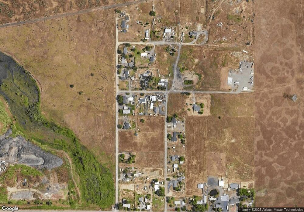
Map
Nearby Homes
- 6850 Downing Rd Unit 44
- 6850 Downing Rd Unit 65
- 644 Raven
- 6199 Wilson Ln
- 6251 Ventura Ln
- 225 Wilson Rd
- 2035 Rabun Way
- 4035 Rock Way
- 335 Applewood Dr
- 6048 Tolo Rd
- 1409 Twin Rocks Dr
- 4223 Merita Terrace
- 356 Marian Ave Unit 40
- 413 Sand Pointe Dr
- 2248 Evan Way
- 4922 Gebhard Rd
- 2330 Savannah Dr
- 2225 New Haven Dr
- 2598 St James Way
- 422 Castle Rock Dr
- 7464 Table Rock Terrace
- 0 Table Rock Terrace
- 0 Table Rock Terrace
- 7556 Truax Rd
- 7476 Truax Rd
- 7542 Truax Rd
- 7516 Truax Rd
- 7570 Truax Rd
- 7600 Truax Rd
- 7388 Table Rock Terrace
- 7638 Truax Rd
- 7634 Truax Rd
- 7452 Truax Rd
- 7636 Truax Rd
- 7352 Table Rock Terrace
- 7414 Truax Rd
- 7688 Truax Rd
- 7650 Table Rock Terrace
- 7293 Table Rock Terrace
- 7344 Table Rock Terrace