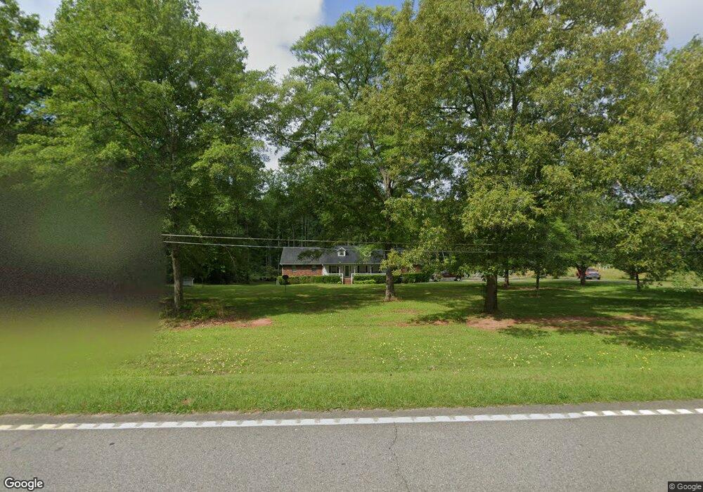
7465 Us Highway 41 S Macon, GA 31210
Estimated Value: $284,000 - $423,000
3
Beds
2
Baths
2,081
Sq Ft
$167/Sq Ft
Est. Value
About This Home
This home is located at 7465 Us Highway 41 S, Macon, GA 31210 and is currently estimated at $346,899, approximately $166 per square foot. 7465 Us Highway 41 S is a home located in Monroe County with nearby schools including T.G. Scott Elementary School, Mary Persons High School, and St. Andrews Montessori School.
Ownership History
Date
Name
Owned For
Owner Type
Purchase Details
Closed on
Dec 22, 2008
Sold by
Not Provided
Bought by
Randall Theodore R
Current Estimated Value
Home Financials for this Owner
Home Financials are based on the most recent Mortgage that was taken out on this home.
Original Mortgage
$164,835
Outstanding Balance
$108,005
Interest Rate
5.96%
Mortgage Type
FHA
Estimated Equity
$238,894
Purchase Details
Closed on
Nov 8, 2001
Bought by
Randall Theodore R and Randall Shannon K
Create a Home Valuation Report for This Property
The Home Valuation Report is an in-depth analysis detailing your home's value as well as a comparison with similar homes in the area
Home Values in the Area
Average Home Value in this Area
Purchase History
| Date | Buyer | Sale Price | Title Company |
|---|---|---|---|
| Randall Theodore R | $10,000 | -- | |
| Randall Theodore R | -- | -- |
Source: Public Records
Mortgage History
| Date | Status | Borrower | Loan Amount |
|---|---|---|---|
| Open | Randall Theodore R | $164,835 |
Source: Public Records
Tax History Compared to Growth
Tax History
| Year | Tax Paid | Tax Assessment Tax Assessment Total Assessment is a certain percentage of the fair market value that is determined by local assessors to be the total taxable value of land and additions on the property. | Land | Improvement |
|---|---|---|---|---|
| 2024 | $1,807 | $76,200 | $20,880 | $55,320 |
| 2023 | $1,734 | $66,960 | $20,880 | $46,080 |
| 2022 | $1,488 | $66,960 | $20,880 | $46,080 |
| 2021 | $1,540 | $66,960 | $20,880 | $46,080 |
| 2020 | $1,579 | $66,960 | $20,880 | $46,080 |
| 2019 | $1,592 | $66,960 | $20,880 | $46,080 |
| 2018 | $1,596 | $66,960 | $20,880 | $46,080 |
| 2017 | $1,946 | $66,960 | $20,880 | $46,080 |
| 2016 | $1,519 | $66,960 | $20,880 | $46,080 |
| 2015 | $1,440 | $66,960 | $20,880 | $46,080 |
| 2014 | $1,390 | $66,960 | $20,880 | $46,080 |
Source: Public Records
Map
Nearby Homes
- 7429 Us Highway 41 S
- 110 Loraine Forest Dr
- 100 Loraine Forest Dr
- 120 Loraine Forest Dr
- 15 Balintore Ct
- 6575 Rivoli Dr
- 115 Loraine Forest Dr
- 7403 Us Highway 41 S
- 130 Loraine Forest Dr
- 9 Balintore Ct
- 14 Balintore Ct
- 6573 Rivoli Dr
- 101 Loraine Forest Dr
- 10 Balintore Ct
- 111 Loraine Forest Dr
- 121 Loraine Forest Dr
- 7 Balintore Ct
- 43 Balintore Ct Unit 43
- 0 Balintore Ct
- 3 Balintore Ct