7469 Brooks Bridge Rd Gibsonville, NC 27249
Estimated Value: $222,000 - $417,744
3
Beds
3
Baths
2,506
Sq Ft
$130/Sq Ft
Est. Value
About This Home
This home is located at 7469 Brooks Bridge Rd, Gibsonville, NC 27249 and is currently estimated at $324,581, approximately $129 per square foot. 7469 Brooks Bridge Rd is a home located in Guilford County with nearby schools including Monticello-Brown Summit Elementary School, Northeast Guilford Middle School, and Northeast Guilford High School.
Ownership History
Date
Name
Owned For
Owner Type
Purchase Details
Closed on
May 12, 2020
Sold by
Richey Vonda Lewis
Bought by
Richey Vonda Lewis
Current Estimated Value
Purchase Details
Closed on
Oct 25, 2011
Bought by
Jerry & Ardenia Lewis Living Trust
Purchase Details
Closed on
Dec 19, 2003
Sold by
Lewis Jerry A and Lewis Ardenia W
Bought by
Lewis Jerry A and Lewis Ardenia W
Create a Home Valuation Report for This Property
The Home Valuation Report is an in-depth analysis detailing your home's value as well as a comparison with similar homes in the area
Home Values in the Area
Average Home Value in this Area
Purchase History
| Date | Buyer | Sale Price | Title Company |
|---|---|---|---|
| Richey Vonda Lewis | -- | None Available | |
| Jerry & Ardenia Lewis Living Trust | -- | -- | |
| Lewis Jerry A | -- | -- |
Source: Public Records
Tax History Compared to Growth
Tax History
| Year | Tax Paid | Tax Assessment Tax Assessment Total Assessment is a certain percentage of the fair market value that is determined by local assessors to be the total taxable value of land and additions on the property. | Land | Improvement |
|---|---|---|---|---|
| 2025 | $2,103 | $236,200 | $79,600 | $156,600 |
| 2024 | $2,103 | $236,200 | $79,600 | $156,600 |
| 2023 | $2,103 | $236,200 | $79,600 | $156,600 |
| 2022 | $2,056 | $236,200 | $79,600 | $156,600 |
| 2021 | $1,611 | $185,100 | $58,100 | $127,000 |
| 2020 | $1,297 | $184,800 | $57,800 | $127,000 |
| 2019 | $1,297 | $149,021 | $0 | $0 |
| 2018 | $0 | $149,021 | $0 | $0 |
| 2017 | $1,083 | $149,021 | $0 | $0 |
| 2016 | $1,005 | $113,621 | $0 | $0 |
| 2015 | $1,011 | $113,621 | $0 | $0 |
| 2014 | $1,022 | $113,621 | $0 | $0 |
Source: Public Records
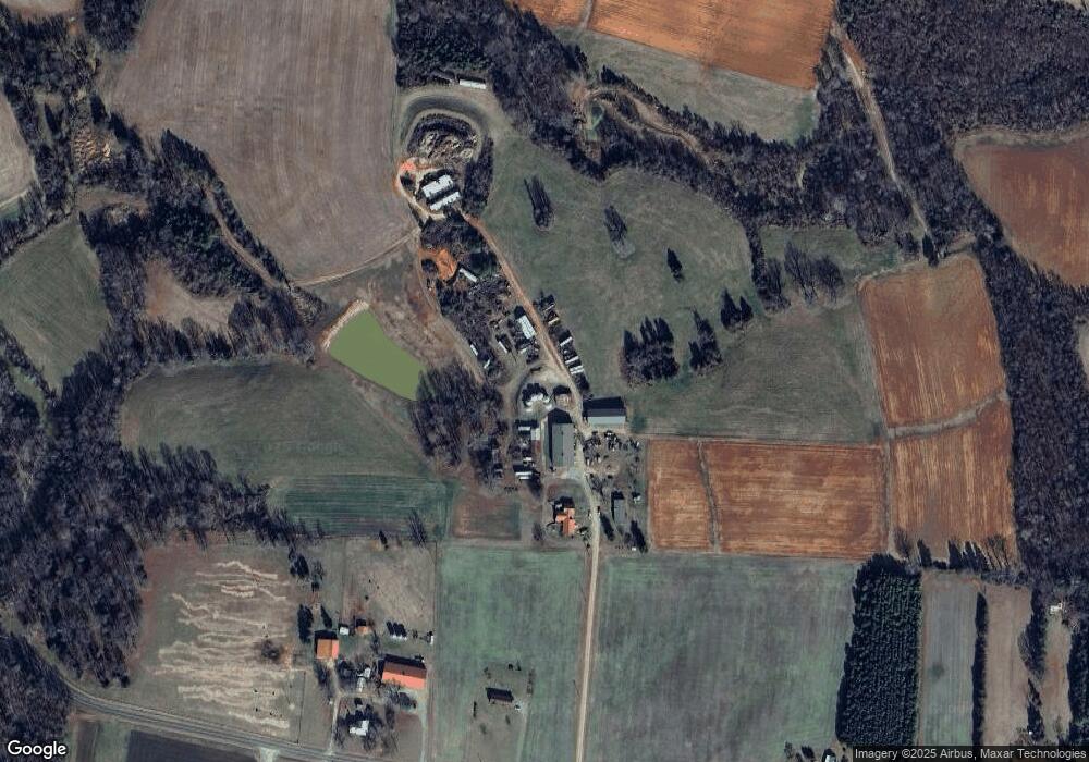
Map
Nearby Homes
- 6736 High Rock Rd
- 14.45± Acres Off Pritchett Rd
- 7238 Abb Rd
- 276 Brann Rd
- 475 Parkdale Rd
- 4100 High Rock Rd
- 199 Brann Rd
- 000 Sunset View Ct
- 2856 Gwyn Rd
- 7115 Laurel Point Dr
- 3163 Saul Loop Rd
- 7208 Roundstone Ct
- 0 Walker Rd Unit 1121878
- 0 Walker Rd Unit 128719
- 251 MacY Mae Way
- 7930 E Nc Highway 150
- 319 MacY Mae Way
- 6604 Deermont Ct
- 7403 Elmont Ct
- 6117 David Moore Rd
- 7471 Brooks Bridge Rd
- 7473 Brooks Bridge Rd
- 7452 Brooks Bridge Rd
- 7481 Brooks Bridge Rd
- 7389 Brooks Bridge Rd
- 7489 Brooks Bridge Rd
- 7393 Brooks Bridge Rd
- 7457 Brooks Bridge Rd
- 7487 Brooks Bridge Rd
- 7482 Brooks Bridge Rd
- 4860 Lee Lewis Rd
- 7400 Brooks Bridge Rd
- 4447 Jug House Rd
- 4362 Gilliam Church Rd
- 4361 Gilliam Church Rd
- 7396 Brooks Bridge Rd
- 4476 Jug House Rd
- 4345 Gilliam Church Rd
- 7381 Brooks Bridge Rd
- 4323 Jug House Rd