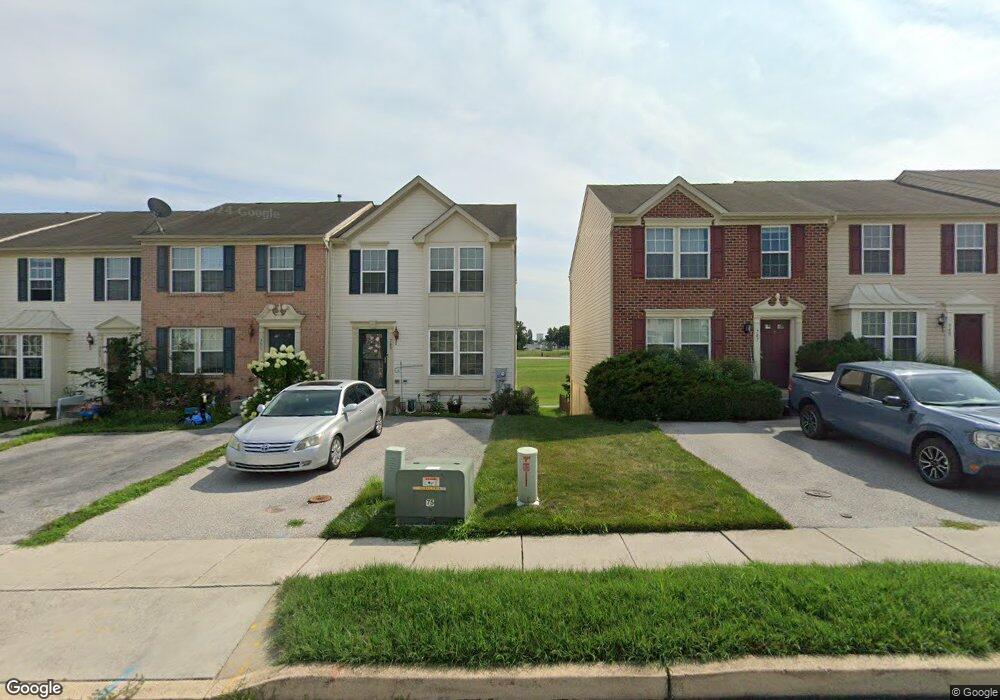
749 Blossom Dr Hanover, PA 17331
Hanover Historic District NeighborhoodEstimated Value: $239,000 - $267,000
3
Beds
3
Baths
1,398
Sq Ft
$184/Sq Ft
Est. Value
About This Home
This home is located at 749 Blossom Dr, Hanover, PA 17331 and is currently estimated at $257,028, approximately $183 per square foot. 749 Blossom Dr is a home located in York County with nearby schools including Washington Elementary School, Hanover Middle School, and Hanover Senior High School.
Ownership History
Date
Name
Owned For
Owner Type
Purchase Details
Closed on
Jun 29, 2010
Sold by
Nvr Inc
Bought by
Carter John M and Carter Roxann
Current Estimated Value
Home Financials for this Owner
Home Financials are based on the most recent Mortgage that was taken out on this home.
Original Mortgage
$180,775
Outstanding Balance
$120,487
Interest Rate
4.78%
Mortgage Type
VA
Estimated Equity
$136,541
Purchase Details
Closed on
Apr 1, 2010
Sold by
Cherry Tree Development Llc
Bought by
Nvr Inc and Ryan Homes
Create a Home Valuation Report for This Property
The Home Valuation Report is an in-depth analysis detailing your home's value as well as a comparison with similar homes in the area
Home Values in the Area
Average Home Value in this Area
Purchase History
| Date | Buyer | Sale Price | Title Company |
|---|---|---|---|
| Carter John M | $175,000 | None Available | |
| Nvr Inc | $128,000 | None Available |
Source: Public Records
Mortgage History
| Date | Status | Borrower | Loan Amount |
|---|---|---|---|
| Open | Carter John M | $180,775 |
Source: Public Records
Tax History Compared to Growth
Tax History
| Year | Tax Paid | Tax Assessment Tax Assessment Total Assessment is a certain percentage of the fair market value that is determined by local assessors to be the total taxable value of land and additions on the property. | Land | Improvement |
|---|---|---|---|---|
| 2025 | $5,731 | $156,530 | $41,450 | $115,080 |
| 2024 | $5,687 | $156,530 | $41,450 | $115,080 |
| 2023 | $5,643 | $156,530 | $41,450 | $115,080 |
| 2022 | $5,574 | $156,530 | $41,450 | $115,080 |
| 2021 | $5,418 | $156,530 | $41,450 | $115,080 |
| 2020 | $5,418 | $156,530 | $41,450 | $115,080 |
| 2019 | $5,333 | $156,530 | $41,450 | $115,080 |
| 2018 | $5,234 | $156,530 | $41,450 | $115,080 |
| 2017 | $5,136 | $156,530 | $41,450 | $115,080 |
| 2016 | $0 | $156,530 | $41,450 | $115,080 |
| 2015 | -- | $156,530 | $41,450 | $115,080 |
| 2014 | -- | $156,530 | $41,450 | $115,080 |
Source: Public Records
Map
Nearby Homes
- 713 Grant Dr
- 706 Grant Dr
- 191 Moul Ave
- 755 757 Broadway
- 679 Cypress Dr Unit 76
- 26 Ridge Ave
- 412 Hawthorn Ln Unit 67
- 632 E Walnut St
- 625 E Middle St
- 636 Broadway
- 128 Paul St
- 405 Clearview Rd
- 333 Clearview Rd
- 102 George St
- 83 George St
- 513 Stock St
- 515 Stock St
- 418 Springbrook Ct Unit C4
- 525 Parkview Ln Unit 113
- 270 Mckinley Ave
- 751 Blossom Dr
- 747 Blossom Dr
- 753 Blossom Dr
- 745 Blossom Dr
- 755 Blossom Dr
- 743 Blossom Dr
- 757 Blossom Dr
- 801 Grant Dr
- 759 Blossom Dr
- 805 Grant Dr
- 739 Blossom Dr
- 716 Blossom Dr Unit 102
- 716 Blossom Dr
- 807 Grant Dr
- 761 Blossom Dr
- 714 Blossom Dr
- 724 Blossom Dr
- 722 Blossom Dr
- 726 Blossom Dr
- 718 Blossom Dr