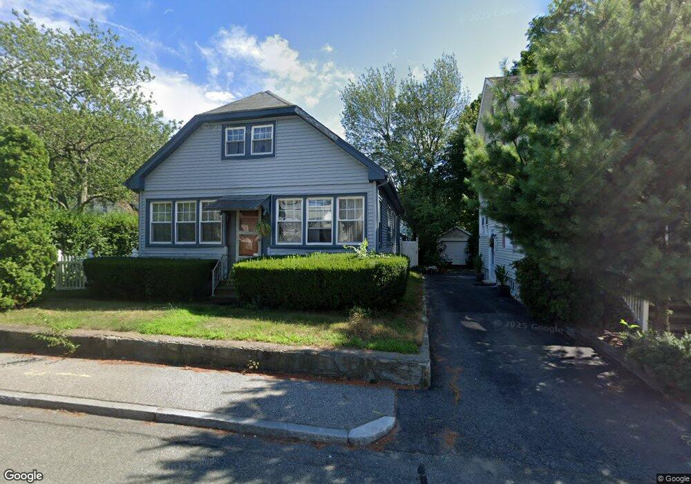
75 Wampanoag Trail Riverside, RI 02915
Kent Heights NeighborhoodEstimated Value: $421,320 - $504,000
3
Beds
1
Bath
1,638
Sq Ft
$287/Sq Ft
Est. Value
About This Home
This home is located at 75 Wampanoag Trail, Riverside, RI 02915 and is currently estimated at $469,330, approximately $286 per square foot. 75 Wampanoag Trail is a home located in Providence County with nearby schools including East Providence High School, The Gordon School, and St Mary Academy-Bay View.
Ownership History
Date
Name
Owned For
Owner Type
Purchase Details
Closed on
Jan 5, 1995
Sold by
Reed Allan J
Bought by
Reed Susan M
Current Estimated Value
Purchase Details
Closed on
May 1, 1992
Sold by
Gouveia Antonio P
Bought by
Johnson David P
Home Financials for this Owner
Home Financials are based on the most recent Mortgage that was taken out on this home.
Original Mortgage
$115,200
Interest Rate
8.96%
Mortgage Type
Purchase Money Mortgage
Create a Home Valuation Report for This Property
The Home Valuation Report is an in-depth analysis detailing your home's value as well as a comparison with similar homes in the area
Home Values in the Area
Average Home Value in this Area
Purchase History
| Date | Buyer | Sale Price | Title Company |
|---|---|---|---|
| Reed Susan M | $35,000 | -- | |
| Johnson David P | $145,500 | -- | |
| Reed Susan M | $35,000 | -- | |
| Johnson David P | $145,500 | -- |
Source: Public Records
Mortgage History
| Date | Status | Borrower | Loan Amount |
|---|---|---|---|
| Previous Owner | Johnson David P | $115,200 |
Source: Public Records
Tax History Compared to Growth
Tax History
| Year | Tax Paid | Tax Assessment Tax Assessment Total Assessment is a certain percentage of the fair market value that is determined by local assessors to be the total taxable value of land and additions on the property. | Land | Improvement |
|---|---|---|---|---|
| 2025 | $4,389 | $335,800 | $116,600 | $219,200 |
| 2024 | $4,864 | $317,300 | $97,200 | $220,100 |
| 2023 | $4,683 | $317,300 | $97,200 | $220,100 |
| 2022 | $4,761 | $217,800 | $56,100 | $161,700 |
| 2021 | $4,683 | $217,800 | $52,200 | $165,600 |
| 2020 | $4,485 | $217,800 | $52,200 | $165,600 |
| 2019 | $4,360 | $217,800 | $52,200 | $165,600 |
| 2018 | $4,297 | $187,800 | $53,300 | $134,500 |
| 2017 | $4,201 | $187,800 | $53,300 | $134,500 |
| 2016 | $4,180 | $187,800 | $53,300 | $134,500 |
| 2015 | $3,826 | $166,700 | $47,000 | $119,700 |
| 2014 | $3,826 | $166,700 | $47,000 | $119,700 |
Source: Public Records
Map
Nearby Homes
- 53 Wampanoag Trail
- 108 Ivan Ave
- 10 Fairfield Ave
- 36 Gerald St
- 59 Merritt Rd
- 180 Grassmere Ave
- 25 Ide Ave
- 87 Vincent Ave
- 50 Kettle Point Ave Unit 50
- 14 Waterview Ave Unit 16
- 74 Brookhaven Dr
- 740 Veterans Memorial Pkwy
- 1463 S Broadway
- 26 Mayflower St
- 132 S Rose St
- 75 Belmont Ave
- 17 Brown St Unit 19
- 3421 Pawtucket Ave
- 21 Donnelly St
- 400 Juniper St Unit A
- 65 Wampanoag Trail
- 0 Sumach Ave
- 2 Sumach Ave
- 61 Wampanoag Trail
- 19 Sumach Ave
- 10 Sumach Ave
- 76 Wampanoag Trail
- 18 Sumach Ave
- 70 Wampanoag Trail
- 55 Wampanoag Trail
- 80 Wampanoag Trail
- 31 Sumach Ave
- 414 Dover Ave Unit 416
- 91 Wampanoag Trail
- 11 Buckthorne Ave
- 28 Sumach Ave
- 15 Buckthorne Ave
- 82 Wampanoag Trail
- 404 Dover Ave
- 404 Dover Ave Unit 2