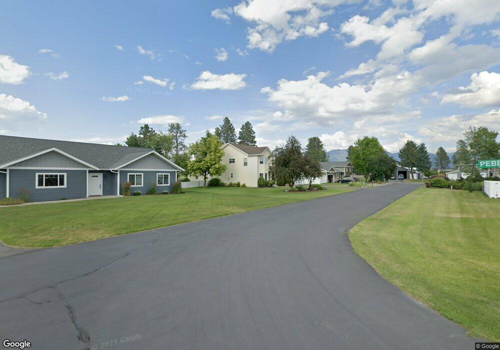
750 Stone St Kalispell, MT 59901
Estimated Value: $726,000 - $792,000
4
Beds
3
Baths
2,508
Sq Ft
$298/Sq Ft
Est. Value
About This Home
This home is located at 750 Stone St, Kalispell, MT 59901 and is currently estimated at $748,590, approximately $298 per square foot. 750 Stone St is a home located in Flathead County with nearby schools including Helena Flats Elementary School, Helena Flats Junior High School, and Glacier High School.
Ownership History
Date
Name
Owned For
Owner Type
Purchase Details
Closed on
Aug 7, 2009
Sold by
Talcott Real Estate & Development Inc
Bought by
Nahrgang John C and Nahrgang Jacqueline E
Current Estimated Value
Home Financials for this Owner
Home Financials are based on the most recent Mortgage that was taken out on this home.
Original Mortgage
$230,000
Interest Rate
4.82%
Mortgage Type
New Conventional
Purchase Details
Closed on
Jun 9, 2009
Sold by
Klein Jason G and Klein Kimberly A
Bought by
Nahrgang John C and Nahrgang Jacqueline E
Home Financials for this Owner
Home Financials are based on the most recent Mortgage that was taken out on this home.
Original Mortgage
$230,000
Interest Rate
4.82%
Mortgage Type
New Conventional
Create a Home Valuation Report for This Property
The Home Valuation Report is an in-depth analysis detailing your home's value as well as a comparison with similar homes in the area
Home Values in the Area
Average Home Value in this Area
Purchase History
| Date | Buyer | Sale Price | Title Company |
|---|---|---|---|
| Nahrgang John C | -- | Insured Titles | |
| Nahrgang John C | -- | Insured Titles |
Source: Public Records
Mortgage History
| Date | Status | Borrower | Loan Amount |
|---|---|---|---|
| Previous Owner | Nahrgang John C | $230,000 |
Source: Public Records
Tax History Compared to Growth
Tax History
| Year | Tax Paid | Tax Assessment Tax Assessment Total Assessment is a certain percentage of the fair market value that is determined by local assessors to be the total taxable value of land and additions on the property. | Land | Improvement |
|---|---|---|---|---|
| 2025 | $3,946 | $805,100 | $0 | $0 |
| 2024 | $4,014 | $620,100 | $0 | $0 |
| 2023 | $4,010 | $620,100 | $0 | $0 |
| 2022 | $3,712 | $460,200 | $0 | $0 |
| 2021 | $3,875 | $460,200 | $0 | $0 |
| 2020 | $3,591 | $398,800 | $0 | $0 |
| 2019 | $3,549 | $398,800 | $0 | $0 |
| 2018 | $3,360 | $355,600 | $0 | $0 |
| 2017 | $3,415 | $355,600 | $0 | $0 |
| 2016 | $2,623 | $299,000 | $0 | $0 |
| 2015 | $2,751 | $299,000 | $0 | $0 |
| 2014 | $2,822 | $186,772 | $0 | $0 |
Source: Public Records
Map
Nearby Homes
- 654 Pebble Dr
- 791 Springwood Ln
- 1056 Clark Fork Dr
- 111 Freedom Way Unit BARNDOMINIUM
- 696 Mountain View Dr
- 547 Maple Dr
- 112 Freedom Way
- 136 Weimar Way
- 580 Ezy Dr
- 130 E Reserve Dr
- 139 Shadow Mountain Trail
- 132 Shadow Mountain Trail
- 196 Shadow Mountain Trail
- 164 Shadow Mountain Trail
- 701 Addison Square
- 741 Shadow Ln
- 11 Mountain View Ct
- 672 Shadow Ln
- 140 Riverstone Dr
- 103 Spring Creek Dr