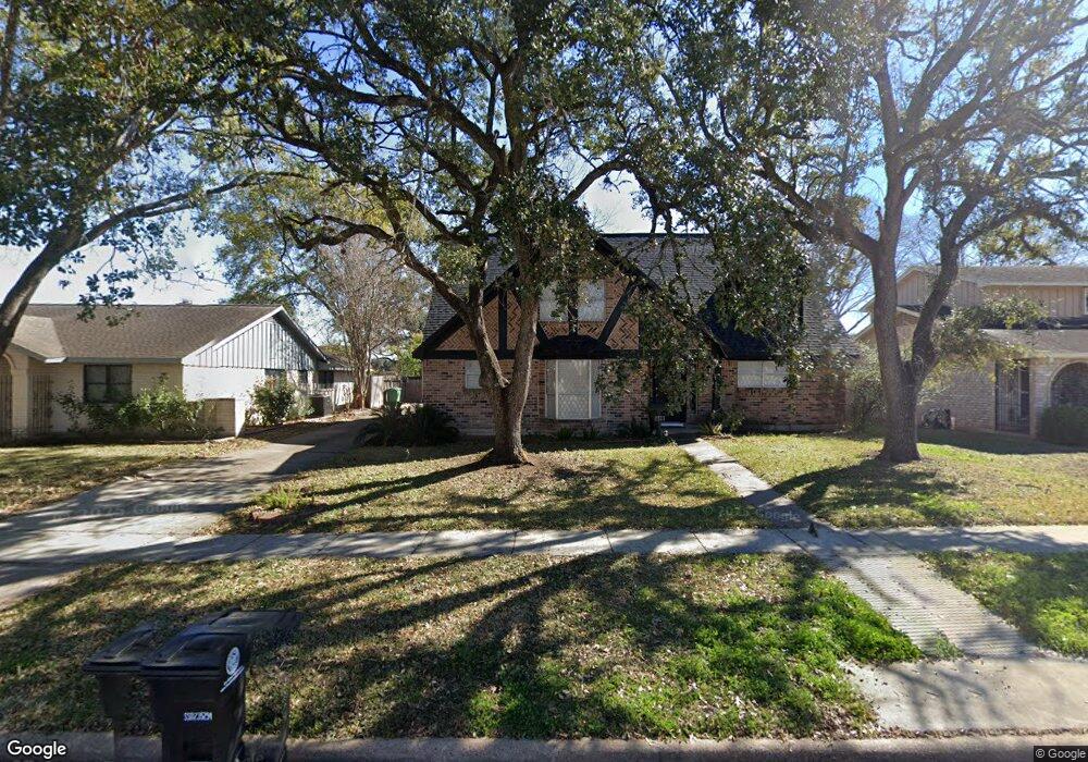
7511 Lacy Hill Dr Houston, TX 77036
Chinatown NeighborhoodEstimated Value: $299,304 - $342,000
4
Beds
2
Baths
2,081
Sq Ft
$158/Sq Ft
Est. Value
About This Home
This home is located at 7511 Lacy Hill Dr, Houston, TX 77036 and is currently estimated at $328,576, approximately $157 per square foot. 7511 Lacy Hill Dr is a home located in Harris County with nearby schools including Ed White Elementary School, Sugar Grove Academy, and Sharpstown High School.
Ownership History
Date
Name
Owned For
Owner Type
Purchase Details
Closed on
Apr 23, 2001
Sold by
Tomkins Jeanne Ann and Vanduivendyk Tim P
Bought by
Mai Tu A and Phan Kim T
Current Estimated Value
Home Financials for this Owner
Home Financials are based on the most recent Mortgage that was taken out on this home.
Original Mortgage
$121,500
Outstanding Balance
$44,356
Interest Rate
6.89%
Estimated Equity
$284,220
Create a Home Valuation Report for This Property
The Home Valuation Report is an in-depth analysis detailing your home's value as well as a comparison with similar homes in the area
Home Values in the Area
Average Home Value in this Area
Purchase History
| Date | Buyer | Sale Price | Title Company |
|---|---|---|---|
| Mai Tu A | -- | First American Title |
Source: Public Records
Mortgage History
| Date | Status | Borrower | Loan Amount |
|---|---|---|---|
| Open | Mai Tu A | $121,500 |
Source: Public Records
Tax History Compared to Growth
Tax History
| Year | Tax Paid | Tax Assessment Tax Assessment Total Assessment is a certain percentage of the fair market value that is determined by local assessors to be the total taxable value of land and additions on the property. | Land | Improvement |
|---|---|---|---|---|
| 2025 | $3,276 | $267,227 | $102,252 | $164,975 |
| 2024 | $3,276 | $247,143 | $102,252 | $144,891 |
| 2023 | $3,276 | $284,962 | $102,252 | $182,710 |
| 2022 | $4,995 | $231,652 | $59,647 | $172,005 |
| 2021 | $4,638 | $198,980 | $51,126 | $147,854 |
| 2020 | $4,822 | $192,775 | $51,126 | $141,649 |
| 2019 | $5,318 | $205,000 | $51,126 | $153,874 |
| 2018 | $3,466 | $193,500 | $51,126 | $142,374 |
| 2017 | $4,392 | $193,500 | $51,126 | $142,374 |
| 2016 | $3,993 | $167,000 | $51,126 | $115,874 |
| 2015 | -- | $140,000 | $51,126 | $88,874 |
| 2014 | -- | $151,753 | $51,126 | $100,627 |
Source: Public Records
Map
Nearby Homes
- 9215 Sharpcrest St
- 9238 Stroud Dr
- 9506 Hendon Ln
- 7939 Kendalia Dr
- 9006 Roos Rd
- 9234 Westwood Village Dr Unit 17
- 8923 Hendon Ln
- 9345 Westwood Village Dr Unit 30
- 8818 Roos Rd
- 8826 Rowan Ln
- 8902 Langdon Ln
- 9393 Westwood Village Dr Unit 64
- 7303 Augustine Dr
- 9901 Sharpcrest St Unit K3
- 9901 Sharpcrest St Unit M6
- 9901 Sharpcrest St Unit F3
- 9901 Sharpcrest St Unit B3
- 9901 Sharpcrest St Unit 8
- 7302 Redding Rd
- 9201 Clarewood Dr Unit 203
- 7507 Lacy Hill Dr
- 7515 Lacy Hill Dr
- 7503 Lacy Hill Dr
- 9202 Carvel Ln
- 9203 Triola Ln
- 7510 Pella Dr
- 7514 Pella Dr
- 7603 Lacy Hill Dr
- 7506 Pella Dr
- 7415 Lacy Hill Dr
- 7502 Pella Dr
- 9206 Carvel Ln
- 9207 Triola Ln
- 7411 Lacy Hill Dr
- 7607 Lacy Hill Dr
- 7602 Pella Dr
- 9203 Carvel Ln
- 7430 Pella Dr
- 9210 Carvel Ln
- 9202 Triola Ln