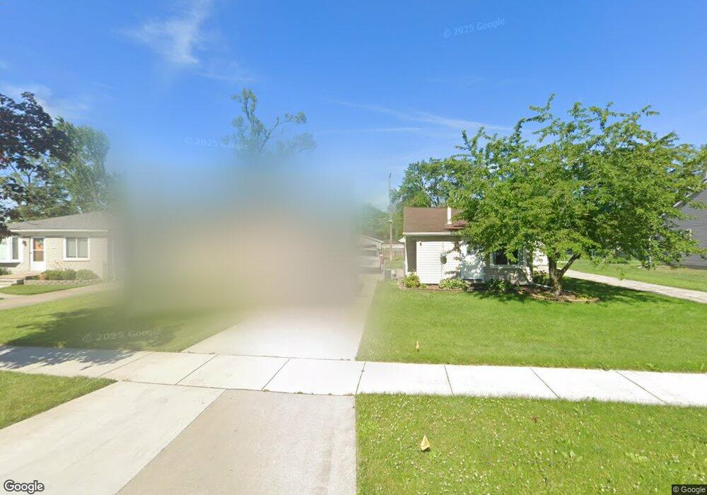
7533 Gilman Ave Westland, MI 48185
Estimated Value: $248,000 - $420,000
3
Beds
2
Baths
1,330
Sq Ft
$261/Sq Ft
Est. Value
About This Home
This home is located at 7533 Gilman Ave, Westland, MI 48185 and is currently estimated at $347,228, approximately $261 per square foot. 7533 Gilman Ave is a home located in Wayne County with nearby schools including Cleveland Elementary School, Cooper Upper Elementary School, and Emerson Middle School.
Ownership History
Date
Name
Owned For
Owner Type
Purchase Details
Closed on
Apr 13, 2023
Sold by
Hbgg Llc
Bought by
Kensington Family Homes Of Michigan Llc
Current Estimated Value
Purchase Details
Closed on
Apr 12, 2023
Sold by
Kensington Family Homes Of Michigan Llc
Bought by
Schmidt Brian
Purchase Details
Closed on
Apr 16, 2021
Sold by
Hurley Raymond
Bought by
Hbgg Llc
Purchase Details
Closed on
Aug 7, 2020
Sold by
Parker Ryan M
Bought by
Hurley Raymond
Purchase Details
Closed on
Feb 20, 2018
Sold by
Laity Chad A and Laity Lynn M
Bought by
Parker Ryan M
Create a Home Valuation Report for This Property
The Home Valuation Report is an in-depth analysis detailing your home's value as well as a comparison with similar homes in the area
Home Values in the Area
Average Home Value in this Area
Purchase History
| Date | Buyer | Sale Price | Title Company |
|---|---|---|---|
| Kensington Family Homes Of Michigan Llc | -- | Reputation First Title | |
| Schmidt Brian | $305,000 | Reputation First Title | |
| Hbgg Llc | $45,000 | First Title Agency Llc | |
| Hurley Raymond | $13,500 | Fnt | |
| Parker Ryan M | $96,000 | None Available |
Source: Public Records
Tax History Compared to Growth
Tax History
| Year | Tax Paid | Tax Assessment Tax Assessment Total Assessment is a certain percentage of the fair market value that is determined by local assessors to be the total taxable value of land and additions on the property. | Land | Improvement |
|---|---|---|---|---|
| 2025 | $6,652 | $192,200 | $0 | $0 |
| 2024 | $6,652 | $162,500 | $0 | $0 |
| 2023 | $6,755 | $166,100 | $0 | $0 |
| 2022 | $2,001 | $29,900 | $0 | $0 |
| 2021 | $1,034 | $12,300 | $0 | $0 |
| 2020 | $508 | $10,200 | $0 | $0 |
| 2019 | $493 | $10,200 | $0 | $0 |
| 2018 | $357 | $10,200 | $0 | $0 |
| 2017 | $309 | $10,200 | $0 | $0 |
| 2016 | $581 | $10,200 | $0 | $0 |
| 2015 | $869 | $9,000 | $0 | $0 |
| 2013 | $842 | $8,420 | $0 | $0 |
| 2012 | $536 | $8,420 | $0 | $0 |
Source: Public Records
Map
Nearby Homes
- 7401 Floral St
- 7304 Gilman St
- 7367 Cavell St
- 7048 Deering St
- 7606 Cavell St
- 7029 Belton St
- 7641 N Inkster Rd
- 28627 Bridge St
- 28730 Bridge St
- 7350 N Inkster Rd
- 7350 N Inkster Rd Unit 17
- 6690 Deering St
- 28912 Cambridge St
- 29256 Brody Ave
- 27517 Windsor St
- 6567 Sterling Ct
- 27753 Trailbrooke Cir
- 29102 Manchester St
- 29047 Manchester St Unit 83
- 29248 Manchester St
- 7529 Gilman St
- 7537 Gilman St Unit Bldg-Unit
- 7537 Gilman St
- 7521 Gilman St
- 7533 Gilman St
- 7505 Gilman St
- 7571 Gilman St
- 7570 Lathers St
- 7542 Lathers St
- 7556 Lathers St
- 7514 Lathers St
- 7584 Lathers St
- 7544 Gilman St
- 7583 Gilman St
- 7506 Gilman St
- 7500 Lathers St
- 7445 Gilman St
- 7598 Lathers St
- 7560 Gilman St
- 7591 Gilman St