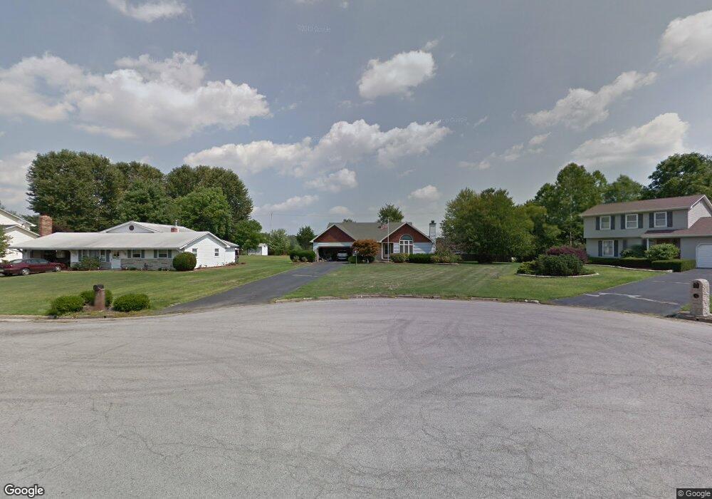
7540 Buchanan Dr Youngstown, OH 44512
Estimated Value: $250,678 - $266,000
3
Beds
2
Baths
1,393
Sq Ft
$187/Sq Ft
Est. Value
About This Home
This home is located at 7540 Buchanan Dr, Youngstown, OH 44512 and is currently estimated at $260,170, approximately $186 per square foot. 7540 Buchanan Dr is a home located in Mahoning County with nearby schools including Robinwood Lane Elementary School, Boardman Glenwood Junior High School, and Boardman High School.
Ownership History
Date
Name
Owned For
Owner Type
Purchase Details
Closed on
May 3, 2007
Sold by
Lewis Randall G and Lewis Paula R
Bought by
Fusco Terrance L and Fusco Jackie L
Current Estimated Value
Home Financials for this Owner
Home Financials are based on the most recent Mortgage that was taken out on this home.
Original Mortgage
$148,000
Outstanding Balance
$90,220
Interest Rate
6.21%
Mortgage Type
Purchase Money Mortgage
Estimated Equity
$169,950
Purchase Details
Closed on
Mar 17, 2001
Sold by
Lewis Randall G and Lewis Paula
Bought by
State Of Ohio Department Transportation
Purchase Details
Closed on
Jul 28, 1987
Bought by
Lewis Randall G and Lewis Paula
Create a Home Valuation Report for This Property
The Home Valuation Report is an in-depth analysis detailing your home's value as well as a comparison with similar homes in the area
Home Values in the Area
Average Home Value in this Area
Purchase History
| Date | Buyer | Sale Price | Title Company |
|---|---|---|---|
| Fusco Terrance L | $148,000 | None Available | |
| State Of Ohio Department Transportation | $450 | -- | |
| Lewis Randall G | $80,000 | -- |
Source: Public Records
Mortgage History
| Date | Status | Borrower | Loan Amount |
|---|---|---|---|
| Open | Fusco Terrance L | $148,000 |
Source: Public Records
Tax History Compared to Growth
Tax History
| Year | Tax Paid | Tax Assessment Tax Assessment Total Assessment is a certain percentage of the fair market value that is determined by local assessors to be the total taxable value of land and additions on the property. | Land | Improvement |
|---|---|---|---|---|
| 2024 | $3,586 | $69,990 | $17,740 | $52,250 |
| 2023 | $3,539 | $69,990 | $17,740 | $52,250 |
| 2022 | $3,493 | $52,850 | $13,660 | $39,190 |
| 2021 | $3,495 | $52,850 | $13,660 | $39,190 |
| 2020 | $3,513 | $52,850 | $13,660 | $39,190 |
| 2019 | $3,218 | $42,560 | $12,410 | $30,150 |
| 2018 | $2,794 | $42,560 | $12,410 | $30,150 |
| 2017 | $2,797 | $42,560 | $12,410 | $30,150 |
| 2016 | $2,853 | $43,870 | $13,760 | $30,110 |
| 2015 | $2,796 | $43,870 | $13,760 | $30,110 |
| 2014 | $2,804 | $43,870 | $13,760 | $30,110 |
| 2013 | $2,769 | $43,870 | $13,760 | $30,110 |
Source: Public Records
Map
Nearby Homes
- 7708 Buchanan Dr
- 7680 Paulin Dr
- 912 Pearson Cir Unit 5
- 918 Pearson Cir Unit 4
- 873 Auburn Hills Dr Unit 3
- 829 Pearson Cir
- 0 Saddlebrook Lot 123 Dr Unit 4442579
- 0 Saddlebrook Lot 153 Dr Unit 4442592
- 0 Saddlebrook Lot 156 Dr Unit 4442599
- 942 Pearson Cir Unit 4
- 816 Pearson Un#1
- 7733 Crimson Trail Unit B
- 8360 South Ave
- 681 Saddlebrook Dr
- 7368 Eisenhower Dr Unit 5
- 8010 Sigle Ln
- 7900 Walnut St Unit 25
- 803 Terraview Dr
- 785 Terraview Dr
- 8129 South Ave
- 7544 Buchanan Dr
- 7534 Buchanan Dr
- 7548 Buchanan Dr
- 7530 Buchanan Dr
- 7552 Buchanan Dr
- 7545 Buchanan Dr
- 7541 Buchanan Dr
- 7535 Buchanan Dr
- 7556 Buchanan Dr
- 7549 Buchanan Dr
- 7553 Buchanan Dr
- 7680 South Ave
- 7557 Buchanan Dr
- 7631 South Ave Unit F
- 7631 South Ave
- 7560 Buchanan Dr
- 7645 Buchanan Dr
- 7637 Buchanan Dr
- 7653 Buchanan Dr
- 7629 Buchanan Dr