757 E Lincoln Trail Martinsville, IN 46151
Estimated Value: $333,000 - $394,000
3
Beds
2
Baths
2,096
Sq Ft
$175/Sq Ft
Est. Value
About This Home
This home is located at 757 E Lincoln Trail, Martinsville, IN 46151 and is currently estimated at $366,322, approximately $174 per square foot. 757 E Lincoln Trail is a home located in Morgan County with nearby schools including Martinsville High School.
Ownership History
Date
Name
Owned For
Owner Type
Purchase Details
Closed on
Jan 11, 2013
Sold by
Caldwell Kathryn Rhea
Bought by
Deweese Harold E and Deweese Sandra L
Current Estimated Value
Purchase Details
Closed on
Oct 1, 2012
Sold by
Deweese Harold E and Deweese Sandra L
Bought by
Thimlar James O
Home Financials for this Owner
Home Financials are based on the most recent Mortgage that was taken out on this home.
Original Mortgage
$164,000
Interest Rate
3.66%
Mortgage Type
New Conventional
Create a Home Valuation Report for This Property
The Home Valuation Report is an in-depth analysis detailing your home's value as well as a comparison with similar homes in the area
Home Values in the Area
Average Home Value in this Area
Purchase History
| Date | Buyer | Sale Price | Title Company |
|---|---|---|---|
| Deweese Harold E | -- | None Available | |
| Thimlar James O | -- | None Available |
Source: Public Records
Mortgage History
| Date | Status | Borrower | Loan Amount |
|---|---|---|---|
| Previous Owner | Thimlar James O | $164,000 |
Source: Public Records
Tax History Compared to Growth
Tax History
| Year | Tax Paid | Tax Assessment Tax Assessment Total Assessment is a certain percentage of the fair market value that is determined by local assessors to be the total taxable value of land and additions on the property. | Land | Improvement |
|---|---|---|---|---|
| 2024 | $1,693 | $320,600 | $38,600 | $282,000 |
| 2023 | $1,605 | $324,000 | $38,600 | $285,400 |
| 2022 | $1,381 | $294,300 | $38,600 | $255,700 |
| 2021 | $1,155 | $263,800 | $38,600 | $225,200 |
| 2020 | $1,075 | $257,900 | $38,600 | $219,300 |
| 2019 | $1,079 | $242,900 | $38,600 | $204,300 |
| 2018 | $981 | $231,200 | $38,600 | $192,600 |
| 2017 | $868 | $210,900 | $38,600 | $172,300 |
| 2016 | $914 | $212,800 | $38,600 | $174,200 |
| 2014 | $753 | $213,500 | $38,600 | $174,900 |
| 2013 | $753 | $215,500 | $38,600 | $176,900 |
Source: Public Records
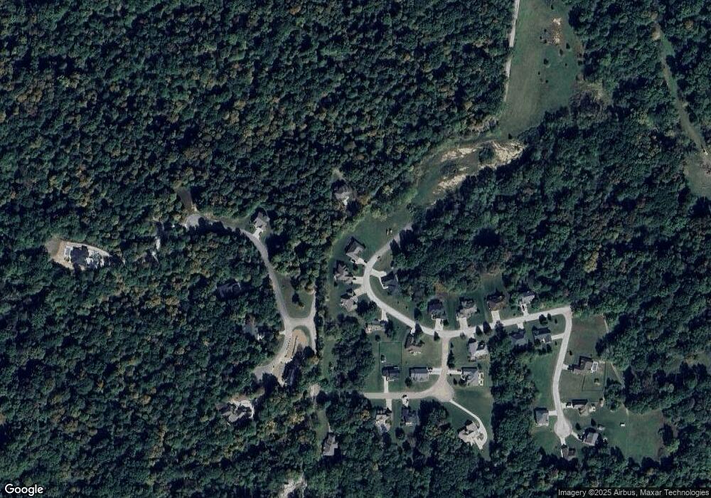
Map
Nearby Homes
- 2131 N Wolf Den Ln
- 2101 N Wolf Cove
- 766 E Timber Dr
- 2086 N Cobblestone Ct
- 2076 N Cobblestone Ct
- 2056 N Cobblestone Ct
- 1675 Lincoln Hill Rd
- 1550 Fox Hollow Dr
- 200 Bailliere Dr
- 2036 Silver Fox Dr W
- 0 N Blue Bluff Rd Unit MBR22031848
- 1555 Fox Cross Dr
- 105 Wood Place
- 3170 N Country Club Rd
- 2925 Fox Ct E
- 3380 N Pine Song Dr
- 2665 Grey Fox Dr
- 2749 Grey Fox Dr
- 899/900 L Southampton Dr
- 2975 Southampton Dr
- 759 E Lincoln Trail
- 2143 N Wolf Den Ln
- 761 E Lincoln Trail
- 760 E Lincoln Trail
- 2121 N Wolf Den Ln
- 2154 Lincoln Hill Rd
- 0 Lincoln Hill Rd Unit 21522870
- 0 Lincoln Hill Rd Unit 21522862
- 0 Lincoln Hill Rd Unit 21522863
- 0 Lincoln Hill Rd Unit 21522824
- 0 Lincoln Hill Rd Unit 21522819
- 0 Lincoln Hill Rd Unit 2829260
- 0 Lincoln Hill Rd Unit 2916665
- 0 Lincoln Hill Rd Unit 21024107
- 0 Lincoln Hill Rd Unit 21036959
- 0 Lincoln Hill Rd Unit 21053870
- 0 Lincoln Hill Rd Unit 21156866
- 0 Lincoln Hill Rd Unit 21163178
- 0 Lincoln Hill Rd Unit 21280077
- 0 Lincoln Hill Rd Unit 21303011