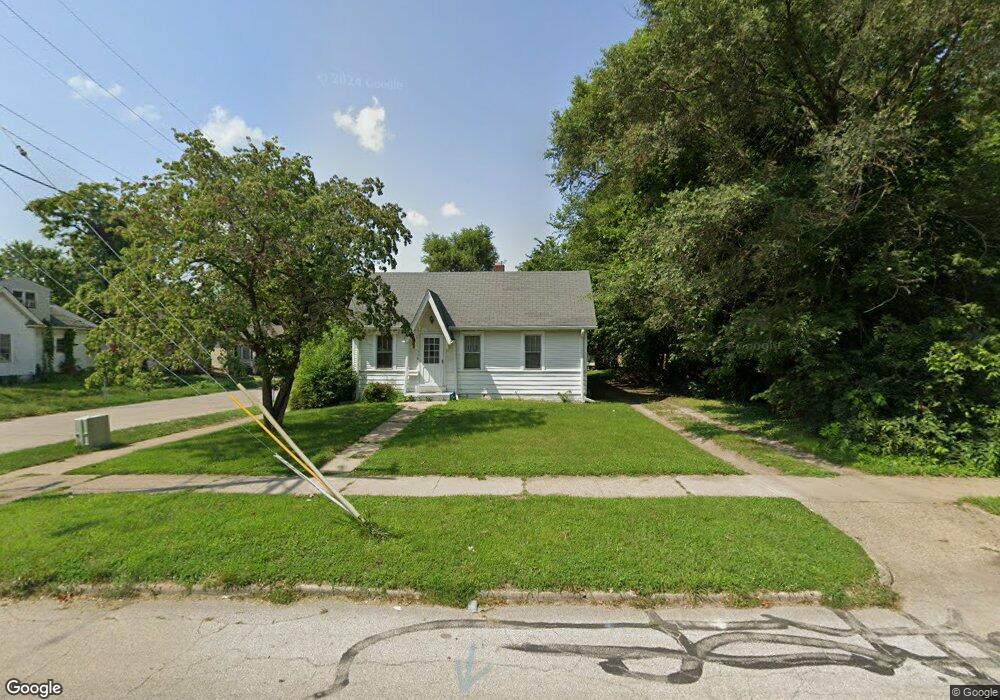
758 W King St Decatur, IL 62522
Garfield Park NeighborhoodEstimated Value: $38,000 - $57,000
2
Beds
1
Bath
992
Sq Ft
$47/Sq Ft
Est. Value
About This Home
This home is located at 758 W King St, Decatur, IL 62522 and is currently estimated at $46,509, approximately $46 per square foot. 758 W King St is a home located in Macon County with nearby schools including Stephen Decatur Middle School, St. Patrick School, and Teen Challenge-Home For Girls.
Ownership History
Date
Name
Owned For
Owner Type
Purchase Details
Closed on
Aug 17, 2023
Sold by
Robinson Mary M
Bought by
Uridel Greg and Margon Holly
Current Estimated Value
Purchase Details
Closed on
Feb 5, 2020
Sold by
Schleper John A
Bought by
Robinson Mary Margaret
Purchase Details
Closed on
May 15, 2019
Sold by
Currie Toni E
Bought by
Schleper John A
Purchase Details
Closed on
May 14, 2019
Sold by
Washington Bruce L and Washington Phyllis
Bought by
Currie Toni E
Purchase Details
Closed on
May 13, 2019
Sold by
Floyd Abel
Bought by
Currie Toni E
Purchase Details
Closed on
May 11, 2019
Sold by
Washington Brian K and Washington Phyllis
Bought by
Currie Toni E
Create a Home Valuation Report for This Property
The Home Valuation Report is an in-depth analysis detailing your home's value as well as a comparison with similar homes in the area
Home Values in the Area
Average Home Value in this Area
Purchase History
| Date | Buyer | Sale Price | Title Company |
|---|---|---|---|
| Uridel Greg | -- | None Listed On Document | |
| Uridel Greg | -- | None Listed On Document | |
| Robinson Mary Margaret | $9,000 | None Available | |
| Schleper John A | $19,000 | None Available | |
| Currie Toni E | -- | None Available | |
| Currie Toni E | -- | None Available | |
| Currie Toni E | -- | None Available |
Source: Public Records
Tax History Compared to Growth
Tax History
| Year | Tax Paid | Tax Assessment Tax Assessment Total Assessment is a certain percentage of the fair market value that is determined by local assessors to be the total taxable value of land and additions on the property. | Land | Improvement |
|---|---|---|---|---|
| 2024 | $304 | $3,143 | $437 | $2,706 |
| 2023 | $302 | $3,032 | $422 | $2,610 |
| 2022 | $292 | $2,854 | $390 | $2,464 |
| 2021 | $274 | $2,666 | $365 | $2,301 |
| 2020 | $600 | $5,641 | $349 | $5,292 |
| 2019 | $600 | $5,641 | $349 | $5,292 |
| 2018 | $637 | $6,059 | $159 | $5,900 |
| 2017 | $652 | $6,221 | $163 | $6,058 |
| 2016 | $664 | $6,285 | $165 | $6,120 |
| 2015 | $631 | $6,174 | $162 | $6,012 |
| 2014 | $528 | $5,467 | $202 | $5,265 |
| 2013 | $542 | $5,673 | $210 | $5,463 |
Source: Public Records
Map
Nearby Homes
- 875 N Monroe St
- 837 W Grand Ave
- 415 W Green St
- 1065 W Green St
- 844 N Edward St
- 1245 N Union St
- 958 W William St
- 254 N Pine St
- 609 W William St
- 1545 N Monroe St
- 1504 N Monroe St
- 422 W William St
- 917 N Wilder Ave
- 330 W William St
- 717 W Prairie Ave Unit 2
- 452 W Prairie Ave
- 442 W Prairie Ave
- 233 N Edward St
- 1458 N Union St
- 141 E Packard St