Estimated Value: $2,118,000 - $3,037,000
9
Beds
13
Baths
9,329
Sq Ft
$269/Sq Ft
Est. Value
About This Home
This home is located at 7580 Rollingbrook Trail, Solon, OH 44139 and is currently estimated at $2,506,754, approximately $268 per square foot. 7580 Rollingbrook Trail is a home located in Cuyahoga County with nearby schools including Orchard Middle School, Solon Middle School, and Solon High School.
Ownership History
Date
Name
Owned For
Owner Type
Purchase Details
Closed on
Mar 15, 2007
Sold by
Sandhu Satnam S and Sandhu Rajvinder K
Bought by
Westrich Nancy Zelch and The Nancy Zelch Westrich Revocable Trust
Current Estimated Value
Purchase Details
Closed on
Mar 19, 2004
Sold by
Cook David and Cook Bonnie
Bought by
Sandhu Satnam S and Sandhu Rajvinder K
Purchase Details
Closed on
Sep 11, 2001
Sold by
Nock Ann Marie and Nock Jeffrey E
Bought by
Cook David and Cook Bonnie
Purchase Details
Closed on
Jun 12, 1990
Bought by
Nock Jeffrey E
Purchase Details
Closed on
Jan 1, 1987
Bought by
Transco Const Inc
Create a Home Valuation Report for This Property
The Home Valuation Report is an in-depth analysis detailing your home's value as well as a comparison with similar homes in the area
Home Values in the Area
Average Home Value in this Area
Purchase History
| Date | Buyer | Sale Price | Title Company |
|---|---|---|---|
| Westrich Nancy Zelch | $373,000 | Ohio Title Corp | |
| Sandhu Satnam S | $334,000 | Quality Title Agency Inc | |
| Cook David | $250,000 | -- | |
| Nock Jeffrey E | $102,000 | -- | |
| Transco Const Inc | -- | -- |
Source: Public Records
Tax History Compared to Growth
Tax History
| Year | Tax Paid | Tax Assessment Tax Assessment Total Assessment is a certain percentage of the fair market value that is determined by local assessors to be the total taxable value of land and additions on the property. | Land | Improvement |
|---|---|---|---|---|
| 2024 | $55,385 | $976,185 | $106,365 | $869,820 |
| 2023 | $44,727 | $642,600 | $58,730 | $583,870 |
| 2022 | $44,640 | $642,600 | $58,730 | $583,870 |
| 2021 | $44,175 | $642,600 | $58,730 | $583,870 |
| 2020 | $47,289 | $630,000 | $57,580 | $572,430 |
| 2019 | $51,029 | $2,006,900 | $164,500 | $1,842,400 |
| 2018 | $47,829 | $702,420 | $57,580 | $644,840 |
| 2017 | $50,232 | $727,660 | $95,940 | $631,720 |
| 2016 | $49,776 | $727,660 | $95,940 | $631,720 |
| 2015 | $49,768 | $727,660 | $95,940 | $631,720 |
| 2014 | $48,263 | $680,050 | $89,670 | $590,380 |
Source: Public Records
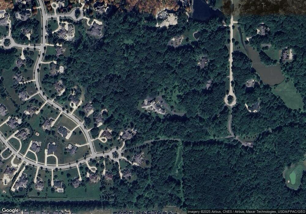
Map
Nearby Homes
- 3314 Fenmore Ln
- 3401 Mallard Ct
- 7485 Stockwood Dr
- 10497 Kerwick Ct
- 3123 Killingworth Ln
- 10358 Townley Ct
- 36965 Wexford Dr
- 37395 Wexford Dr
- 7256 Dursley Ct
- 7260 Annadale Dr
- 10265 Beaver Trail
- 3320 Blossom Trail
- 3336 Blossom Trail
- 38655 Pettibone Rd
- VL 050-051 Willow St
- 36725 Pettibone Rd
- 3331 Shale Dr
- 10269 Smugglers Cove
- 7460 Hillside Ln
- 10586 California St
- 37495 Broadstone Dr
- 7625 Worlington Dr
- 37500 Broadstone Dr
- 7560 Rollingbrook Trail
- 7649 Worlington Dr
- 7601 Worlington Dr
- 7540 Rollingbrook Trail
- 7520 Rollingbrook Trail
- 37450 Broadstone Dr
- 7583 Worlington Dr
- 37390 Broadstone Dr
- 7500 Rollingbrook Trail
- 7634 Worlington Dr
- 7644 Worlington Dr
- 37330 Broadstone Dr
- 37406 Mera Ct
- 7561 Worlington Dr
- 7549 Rollingbrook Trail
- 7579 Rollingbrook Trail
- 7549 Worlington Dr