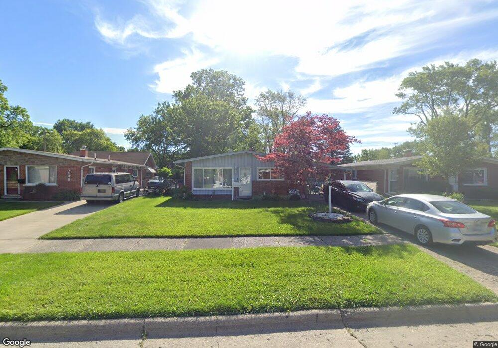
7584 Lathers St Westland, MI 48185
Estimated Value: $181,297 - $201,000
3
Beds
1
Bath
1,120
Sq Ft
$172/Sq Ft
Est. Value
About This Home
This home is located at 7584 Lathers St, Westland, MI 48185 and is currently estimated at $192,324, approximately $171 per square foot. 7584 Lathers St is a home located in Wayne County with nearby schools including Cleveland Elementary School, Cooper Upper Elementary School, and Emerson Middle School.
Ownership History
Date
Name
Owned For
Owner Type
Purchase Details
Closed on
Aug 20, 2009
Sold by
Chase Asset Management Llc
Bought by
Westland Inc
Current Estimated Value
Purchase Details
Closed on
Feb 21, 2007
Sold by
Sciatto Frank K and Sciatto Dianna K
Bought by
Jp Morgan Chase Bank and Equity One Abs Inc Mortgage/Pass Through
Purchase Details
Closed on
Nov 13, 1995
Sold by
Frank K and Sciat Dianna K
Bought by
Sciatto Frank K and Sciatto Dianna K
Create a Home Valuation Report for This Property
The Home Valuation Report is an in-depth analysis detailing your home's value as well as a comparison with similar homes in the area
Home Values in the Area
Average Home Value in this Area
Purchase History
| Date | Buyer | Sale Price | Title Company |
|---|---|---|---|
| Westland Inc | $15,000 | None Available | |
| Jp Morgan Chase Bank | $127,031 | None Available | |
| Sciatto Frank K | $79,200 | -- |
Source: Public Records
Tax History Compared to Growth
Tax History
| Year | Tax Paid | Tax Assessment Tax Assessment Total Assessment is a certain percentage of the fair market value that is determined by local assessors to be the total taxable value of land and additions on the property. | Land | Improvement |
|---|---|---|---|---|
| 2025 | $2,035 | $85,000 | $0 | $0 |
| 2024 | $2,035 | $80,400 | $0 | $0 |
| 2023 | $1,942 | $72,700 | $0 | $0 |
| 2022 | $2,570 | $63,800 | $0 | $0 |
| 2021 | $2,501 | $58,500 | $0 | $0 |
| 2020 | $2,471 | $52,300 | $0 | $0 |
| 2019 | $2,374 | $52,600 | $0 | $0 |
| 2018 | $922 | $46,000 | $0 | $0 |
| 2017 | $2,596 | $45,800 | $0 | $0 |
| 2016 | $2,858 | $45,800 | $0 | $0 |
| 2015 | $3,260 | $38,220 | $0 | $0 |
| 2013 | $3,158 | $32,220 | $0 | $0 |
| 2012 | $2,209 | $33,110 | $0 | $0 |
Source: Public Records
Map
Nearby Homes
- 7401 Floral St
- 7304 Gilman St
- 7367 Cavell St
- 7606 Cavell St
- 7048 Deering St
- 7641 N Inkster Rd
- 7029 Belton St
- 29256 Brody Ave
- 28730 Bridge St
- 28627 Bridge St
- 7350 N Inkster Rd
- 7350 N Inkster Rd Unit 17
- 29102 Manchester St
- 29047 Manchester St Unit 83
- 29248 Manchester St
- 8139 Bristol St Unit 170
- 29156 Manchester St
- 27753 Trailbrooke Cir
- 28912 Cambridge St
- 0000 N Middlebelt Rd
- 7598 Lathers St
- 7570 Lathers St
- 7612 Lathers St
- 7556 Lathers St
- 7542 Lathers St
- 7571 Gilman St
- 7537 Gilman St Unit Bldg-Unit
- 7537 Gilman St
- 7533 Gilman St
- 7626 Lathers St
- 7583 Gilman St
- 7591 Gilman St
- 7533 Gilman Ave
- 7529 Gilman St
- 7573 Lathers St Unit Bldg-Unit
- 7573 Lathers St
- 7587 Lathers St
- 7559 Lathers St
- 7601 Lathers St
- 7521 Gilman St