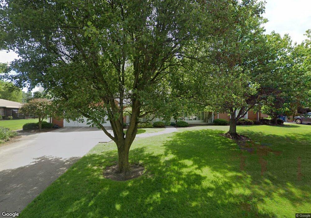
76 Westwood Dr Fremont, OH 43420
Estimated Value: $257,000 - $269,000
2
Beds
2
Baths
2,426
Sq Ft
$108/Sq Ft
Est. Value
About This Home
This home is located at 76 Westwood Dr, Fremont, OH 43420 and is currently estimated at $263,099, approximately $108 per square foot. 76 Westwood Dr is a home located in Sandusky County with nearby schools including Fremont Ross High School and St. Joseph School.
Ownership History
Date
Name
Owned For
Owner Type
Purchase Details
Closed on
Feb 15, 2017
Sold by
Havice Clair L and Havice Florence E
Bought by
Havice Clair L and Havice Florence E
Current Estimated Value
Purchase Details
Closed on
Oct 11, 2005
Sold by
Swaisgood Anna Belle
Bought by
Havice Clair L and Havice Florence E
Purchase Details
Closed on
Jun 1, 1991
Bought by
Havice Clair L and Havice Florence E
Purchase Details
Closed on
Aug 1, 1987
Bought by
Havice Clair L and Havice Florence E
Create a Home Valuation Report for This Property
The Home Valuation Report is an in-depth analysis detailing your home's value as well as a comparison with similar homes in the area
Home Values in the Area
Average Home Value in this Area
Purchase History
| Date | Buyer | Sale Price | Title Company |
|---|---|---|---|
| Havice Clair L | -- | Attorney | |
| Havice Clair L | $123,000 | First American | |
| Havice Clair L | -- | -- | |
| Havice Clair L | -- | -- |
Source: Public Records
Tax History Compared to Growth
Tax History
| Year | Tax Paid | Tax Assessment Tax Assessment Total Assessment is a certain percentage of the fair market value that is determined by local assessors to be the total taxable value of land and additions on the property. | Land | Improvement |
|---|---|---|---|---|
| 2024 | $2,454 | $72,940 | $12,110 | $60,830 |
| 2023 | $2,454 | $59,300 | $9,840 | $49,460 |
| 2022 | $2,098 | $59,300 | $9,840 | $49,460 |
| 2021 | $2,162 | $59,300 | $9,840 | $49,460 |
| 2020 | $2,023 | $55,130 | $9,840 | $45,290 |
| 2019 | $2,021 | $55,130 | $9,840 | $45,290 |
| 2018 | $1,909 | $55,130 | $9,840 | $45,290 |
| 2017 | $1,851 | $52,160 | $9,840 | $42,320 |
| 2016 | $1,622 | $52,160 | $9,840 | $42,320 |
| 2015 | $1,596 | $52,160 | $9,840 | $42,320 |
| 2014 | $1,534 | $48,730 | $9,630 | $39,100 |
| 2013 | $1,502 | $48,730 | $9,630 | $39,100 |
Source: Public Records
Map
Nearby Homes
- 17 Adams Dr
- 2484 Buckland Ave
- 2020 Elm Dr
- 822 Upton Rd
- 1719 Buckland Ave
- 614 3rd Ave
- 2242 Napoleon Rd
- 520 Everett Rd
- 855 Rambo Ln
- 515 Everett Rd
- 880 Cleveland Ave
- 43 Sun Valley Dr Unit 43
- 1485 Autumn Woods Dr
- 115 N Taft Ave
- 2119 Lake St
- 1611 Mcpherson Blvd
- 816 Lime St
- 10 Meadowbrook Dr
- 10 Meadowbrook Ln
- 1342 Mcpherson Blvd