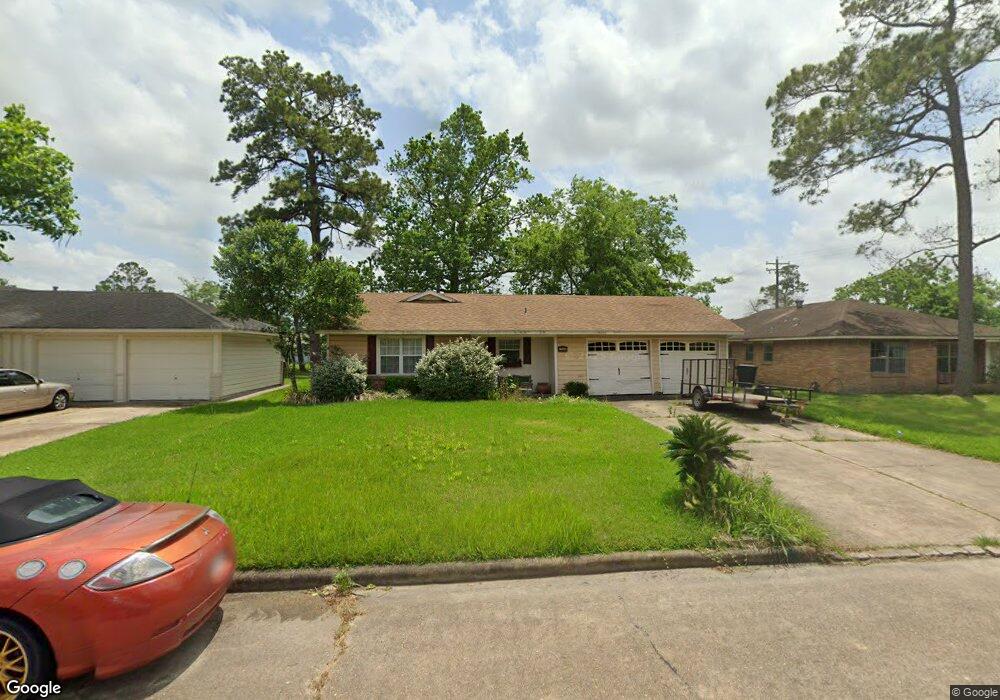
7606 Caddo Rd Houston, TX 77016
East Little York NeighborhoodEstimated Value: $173,000 - $184,632
3
Beds
2
Baths
1,051
Sq Ft
$172/Sq Ft
Est. Value
About This Home
This home is located at 7606 Caddo Rd, Houston, TX 77016 and is currently estimated at $181,158, approximately $172 per square foot. 7606 Caddo Rd is a home located in Harris County with nearby schools including Shadydale Elementary School, Forest Brook Middle, and North Forest High School.
Ownership History
Date
Name
Owned For
Owner Type
Purchase Details
Closed on
Jun 4, 2008
Sold by
Jle Investors Inc
Bought by
Cooper Hershel
Current Estimated Value
Home Financials for this Owner
Home Financials are based on the most recent Mortgage that was taken out on this home.
Original Mortgage
$56,941
Outstanding Balance
$36,576
Interest Rate
6.07%
Mortgage Type
FHA
Estimated Equity
$144,582
Purchase Details
Closed on
Mar 4, 2003
Sold by
Joffrion Lou E
Bought by
Jle Investors Inc and Associated Mortgage Investors
Create a Home Valuation Report for This Property
The Home Valuation Report is an in-depth analysis detailing your home's value as well as a comparison with similar homes in the area
Home Values in the Area
Average Home Value in this Area
Purchase History
| Date | Buyer | Sale Price | Title Company |
|---|---|---|---|
| Cooper Hershel | -- | Ameripoint Title | |
| Jle Investors Inc | $23,116 | -- |
Source: Public Records
Mortgage History
| Date | Status | Borrower | Loan Amount |
|---|---|---|---|
| Open | Cooper Hershel | $56,941 |
Source: Public Records
Tax History Compared to Growth
Tax History
| Year | Tax Paid | Tax Assessment Tax Assessment Total Assessment is a certain percentage of the fair market value that is determined by local assessors to be the total taxable value of land and additions on the property. | Land | Improvement |
|---|---|---|---|---|
| 2025 | $1,015 | $186,184 | $45,150 | $141,034 |
| 2024 | $1,015 | $186,184 | $45,150 | $141,034 |
| 2023 | $1,015 | $233,628 | $45,150 | $188,478 |
| 2022 | $1,881 | $199,352 | $37,926 | $161,426 |
| 2021 | $1,810 | $160,761 | $25,284 | $135,477 |
| 2020 | $1,710 | $142,037 | $18,782 | $123,255 |
| 2019 | $1,624 | $135,137 | $13,726 | $121,411 |
| 2018 | $885 | $85,551 | $12,353 | $73,198 |
| 2017 | $1,341 | $85,551 | $12,353 | $73,198 |
| 2016 | $1,219 | $81,036 | $12,353 | $68,683 |
| 2015 | $643 | $71,441 | $12,353 | $59,088 |
| 2014 | $643 | $62,136 | $12,353 | $49,783 |
Source: Public Records
Map
Nearby Homes
- 7603 Caddo Rd
- 7639 Bigwood St
- 10106 Cheeves Dr
- 7611 Cabot St
- 7630 Yoe St
- 10125 Rebel Rd
- 0 Wileyvale Rd Unit 37533417
- 0 E Little York Rd Unit 36249347
- 0 Laura Koppe Rd Unit 64066450
- 0 Lockwood Unit 97801497
- 0 Wileyvale Rd Unit 98938709
- 7717 Bigwood St
- 7402 Yoe St
- 7338 Bigwood St
- 7638 Parker Rd
- 8022 Yoe St
- 7613 Parker Rd
- 10206 Cheeves Dr
- 7305 Yoe St
- 7314 Sterlingshire St