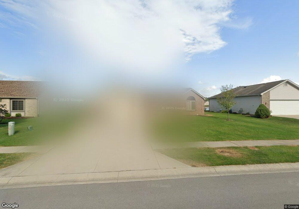
7606 Wynnewood Ln Fort Wayne, IN 46835
Northeast Fort Wayne NeighborhoodEstimated Value: $266,000 - $280,000
3
Beds
2
Baths
1,711
Sq Ft
$160/Sq Ft
Est. Value
About This Home
This home is located at 7606 Wynnewood Ln, Fort Wayne, IN 46835 and is currently estimated at $273,827, approximately $160 per square foot. 7606 Wynnewood Ln is a home located in Allen County with nearby schools including Arlington Elementary School, Jefferson Middle School, and Northrop High School.
Ownership History
Date
Name
Owned For
Owner Type
Purchase Details
Closed on
Jan 29, 2002
Sold by
Carriage Place Homes Inc
Bought by
Spade David E
Current Estimated Value
Home Financials for this Owner
Home Financials are based on the most recent Mortgage that was taken out on this home.
Original Mortgage
$85,900
Outstanding Balance
$35,945
Interest Rate
7.23%
Estimated Equity
$237,882
Create a Home Valuation Report for This Property
The Home Valuation Report is an in-depth analysis detailing your home's value as well as a comparison with similar homes in the area
Home Values in the Area
Average Home Value in this Area
Purchase History
| Date | Buyer | Sale Price | Title Company |
|---|---|---|---|
| Spade David E | -- | Columbia Land Title Inc |
Source: Public Records
Mortgage History
| Date | Status | Borrower | Loan Amount |
|---|---|---|---|
| Open | Spade David E | $85,900 |
Source: Public Records
Tax History Compared to Growth
Tax History
| Year | Tax Paid | Tax Assessment Tax Assessment Total Assessment is a certain percentage of the fair market value that is determined by local assessors to be the total taxable value of land and additions on the property. | Land | Improvement |
|---|---|---|---|---|
| 2024 | $2,845 | $252,600 | $36,800 | $215,800 |
| 2022 | $2,302 | $204,500 | $36,800 | $167,700 |
| 2021 | $2,025 | $181,300 | $29,000 | $152,300 |
| 2020 | $1,862 | $170,800 | $29,000 | $141,800 |
| 2019 | $1,699 | $157,000 | $29,000 | $128,000 |
| 2018 | $1,646 | $151,300 | $29,000 | $122,300 |
| 2017 | $1,543 | $141,600 | $29,000 | $112,600 |
| 2016 | $1,443 | $134,400 | $29,000 | $105,400 |
| 2014 | $1,280 | $124,500 | $29,000 | $95,500 |
| 2013 | $1,225 | $119,300 | $29,000 | $90,300 |
Source: Public Records
Map
Nearby Homes
- 9609 Carine Cove
- 7913 Maysfield Hill
- 9413 Acacia Passage
- 7920 Welland Ct
- 7920 Wethersfield Cove
- 9803 Snowstar Place
- 7695 Accio Cove
- 10205 Battle Run Way
- 7755 Tumnus Trail
- 7779 Tumnus Trail
- 9613 Shellbrook Dr
- 7746 Tumnus Trail Unit 70
- 10328 Fieldlight Blvd
- 10255 Tirian Place
- 10249 Tirian Place
- 10299 Tirian Place
- 10263 Tirian Place
- 9378 Fuji Cove
- 9331 Fuji Cove
- 6326 Treasure Cove
- 7614 Wynnewood Ln
- 7526 Wynnewood Ln
- 7518 Wynnewood Ln
- 7622 Wynnewood Ln
- 9529 Marquis Ln
- 7510 Wynnewood Ln
- 7619 Wynnewood Ln
- 9526 Marquis Ln
- 7628 Wynnewood Ln
- 9523 Marquis Ln
- 7629 Maeve Dr
- 7633 Maeve Dr
- 9520 Marquis Ln
- 9611 Kildare Crossing
- 7625 Maeve Dr
- 7634 Wynnewood Ln
- 9517 Marquis Ln
- 9529 Kildare Crossing Unit 86
- 9529 Kildare Crossing Unit 86
- 9514 Marquis Ln