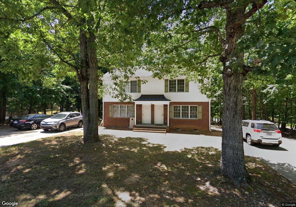
763 Lincoln Ave Asheboro, NC 27205
Estimated Value: $243,000 - $277,000
--
Bed
4
Baths
2,223
Sq Ft
$116/Sq Ft
Est. Value
About This Home
This home is located at 763 Lincoln Ave, Asheboro, NC 27205 and is currently estimated at $257,087, approximately $115 per square foot. 763 Lincoln Ave is a home located in Randolph County with nearby schools including Charles W. McCrary Elementary School, North Asheboro Middle School, and Asheboro High School.
Ownership History
Date
Name
Owned For
Owner Type
Purchase Details
Closed on
Mar 1, 2022
Sold by
Ccm Rental Properties Llc
Bought by
Baybuilt Properties Llc
Current Estimated Value
Purchase Details
Closed on
Oct 23, 2017
Sold by
Morris Cynthia Cox and Estate Of Golda Garner Cox
Bought by
Ccm Rental Properties Llc
Purchase Details
Closed on
Jan 30, 1998
Bought by
Cox Golda G
Create a Home Valuation Report for This Property
The Home Valuation Report is an in-depth analysis detailing your home's value as well as a comparison with similar homes in the area
Home Values in the Area
Average Home Value in this Area
Purchase History
| Date | Buyer | Sale Price | Title Company |
|---|---|---|---|
| Baybuilt Properties Llc | $117,500 | Morgan Ben C | |
| Ccm Rental Properties Llc | -- | None Available | |
| Cox Golda G | $33,000 | -- |
Source: Public Records
Tax History Compared to Growth
Tax History
| Year | Tax Paid | Tax Assessment Tax Assessment Total Assessment is a certain percentage of the fair market value that is determined by local assessors to be the total taxable value of land and additions on the property. | Land | Improvement |
|---|---|---|---|---|
| 2025 | $2,041 | $171,210 | $24,850 | $146,360 |
| 2024 | $2,041 | $171,210 | $24,850 | $146,360 |
| 2023 | $2,041 | $171,210 | $24,850 | $146,360 |
| 2022 | $1,693 | $117,440 | $19,840 | $97,600 |
| 2021 | $1,693 | $117,440 | $19,840 | $97,600 |
| 2020 | $1,693 | $117,440 | $19,840 | $97,600 |
| 2019 | $1,693 | $117,440 | $19,840 | $97,600 |
| 2018 | $1,769 | $120,520 | $26,780 | $93,740 |
| 2016 | $1,769 | $120,521 | $26,780 | $93,741 |
| 2015 | $1,772 | $120,521 | $26,780 | $93,741 |
| 2014 | -- | $120,521 | $26,780 | $93,741 |
Source: Public Records
Map
Nearby Homes
- 1110 Park Dr
- 866 Mountain Rd
- 0 Highwood Dr
- 1025 Neely Dr
- 0000 Little Gate Dr
- 1011 Westmont Dr
- 627 Oakmont Dr
- 1582 Westmont Dr
- 1142 Westover Terrace
- 1407 Oakland Ave
- TBD Oakland Ave
- 435 Peachtree St
- 516 and 518 Peachtree St
- 0 Amity Rd
- 923 Arnold St
- 914 Tamworth Rd
- 330 W Presnell St Unit 37
- 1821 Back Creek Ct
- 330 13 W Presnell St
- 246 Hampton Rd Unit 8A
- 753 Lincoln Ave
- 1121 Park Dr
- 737 Lincoln Ave
- 00 N Rockridge Road & Daves Mount Ct
- 1129 Park Dr
- 750 Lincoln Ave
- 1122 Park Dr
- 727 Lincoln Ave
- 738 Lincoln Ave
- 1133 Park Dr
- 847 Corwith St
- 1126 Park Dr
- 730 Lincoln Ave
- 721 Lincoln Ave
- 1141 Park Dr
- 1132 Park Dr
- 724 Lincoln Ave
- 747 N Mccrary St
- 759 N Mccrary St
- 717 Lincoln Ave