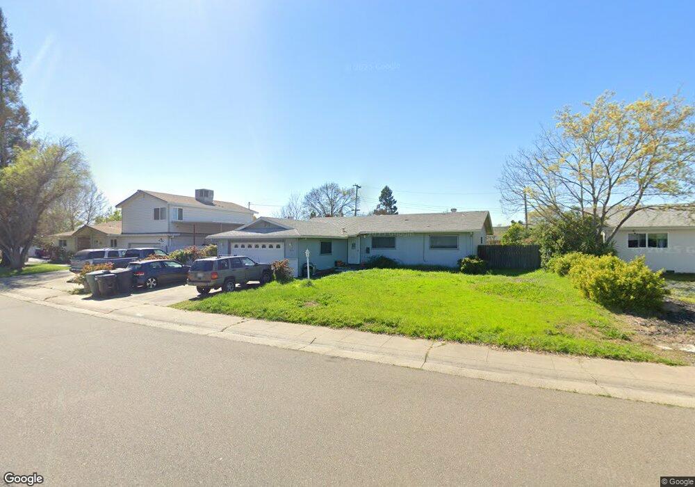
7636 Southbreeze Dr Sacramento, CA 95828
Estimated Value: $338,000 - $460,000
3
Beds
2
Baths
1,344
Sq Ft
$313/Sq Ft
Est. Value
About This Home
This home is located at 7636 Southbreeze Dr, Sacramento, CA 95828 and is currently estimated at $420,935, approximately $313 per square foot. 7636 Southbreeze Dr is a home located in Sacramento County with nearby schools including Mary Tsukamoto Elementary School, T. R. Smedberg Middle School, and Sheldon High School.
Ownership History
Date
Name
Owned For
Owner Type
Purchase Details
Closed on
Mar 13, 2013
Sold by
Wilson Wenona Diane
Bought by
Dallin Llc
Current Estimated Value
Purchase Details
Closed on
Mar 6, 2001
Sold by
Gaunt Sharlene K and Brodie Sharlene K
Bought by
Wilson Wenona Diane
Home Financials for this Owner
Home Financials are based on the most recent Mortgage that was taken out on this home.
Original Mortgage
$125,230
Interest Rate
7.12%
Mortgage Type
FHA
Purchase Details
Closed on
Jun 1, 1998
Sold by
Koberlein Derril L
Bought by
Brodie Sharlene K
Home Financials for this Owner
Home Financials are based on the most recent Mortgage that was taken out on this home.
Original Mortgage
$104,924
Interest Rate
7.1%
Mortgage Type
FHA
Create a Home Valuation Report for This Property
The Home Valuation Report is an in-depth analysis detailing your home's value as well as a comparison with similar homes in the area
Home Values in the Area
Average Home Value in this Area
Purchase History
| Date | Buyer | Sale Price | Title Company |
|---|---|---|---|
| Dallin Llc | $125,100 | Place Title Co | |
| Wilson Wenona Diane | $127,000 | Chicago Title Co | |
| Brodie Sharlene K | $106,000 | Stewart Title |
Source: Public Records
Mortgage History
| Date | Status | Borrower | Loan Amount |
|---|---|---|---|
| Previous Owner | Wilson Wenona Diane | $125,230 | |
| Previous Owner | Brodie Sharlene K | $104,924 | |
| Closed | Wilson Wenona Diane | $7,620 |
Source: Public Records
Tax History Compared to Growth
Tax History
| Year | Tax Paid | Tax Assessment Tax Assessment Total Assessment is a certain percentage of the fair market value that is determined by local assessors to be the total taxable value of land and additions on the property. | Land | Improvement |
|---|---|---|---|---|
| 2025 | $3,209 | $301,746 | $75,435 | $226,311 |
| 2024 | $3,209 | $295,830 | $73,956 | $221,874 |
| 2023 | $3,127 | $290,030 | $72,506 | $217,524 |
| 2022 | $3,072 | $284,344 | $71,085 | $213,259 |
| 2021 | $3,038 | $278,770 | $69,692 | $209,078 |
| 2020 | $2,990 | $275,913 | $68,978 | $206,935 |
| 2019 | $2,935 | $270,504 | $67,626 | $202,878 |
| 2018 | $1,571 | $142,855 | $32,466 | $110,389 |
| 2017 | $1,543 | $140,055 | $31,830 | $108,225 |
| 2016 | $1,465 | $137,309 | $31,206 | $106,103 |
| 2015 | $1,437 | $135,248 | $30,738 | $104,510 |
| 2014 | $1,413 | $132,599 | $30,136 | $102,463 |
Source: Public Records
Map
Nearby Homes
- 0 Lakewood Rd
- 7604 Eastbreeze Cir
- 7637 Eastbreeze Cir
- 134 Security Ln
- 110 Wyndbrook St
- 92 Bainbrook St
- 8800 Tiogawoods Dr
- 98 Cantabrook St
- 175 Skybrook Ln
- 87 Bainbrook St
- 8695 Esperia Way
- 8617 Oldwoods Way
- 8841 Billfish Way
- 7565 El Terraza Dr
- 7790 Finnhorse Way
- 8818 Fairport Ave
- 8822 Fairport Ave
- 8826 Fairport Ave
- 8733 Nakota Way
- 7481 Mendon Way
- 7632 Southbreeze Dr
- 7640 Southbreeze Dr
- 7649 Pheasant Down Way
- 7645 Pheasant Down Way
- 7653 Pheasant Down Way
- 7628 Southbreeze Dr
- 7641 Pheasant Down Way
- 7643 Southbreeze Dr
- 7639 Southbreeze Dr
- 7637 Pheasant Down Way
- 7635 Southbreeze Dr
- 7624 Southbreeze Dr
- 8717 Golden Tree Way
- 7661 Pheasant Down Way
- 7631 Southbreeze Dr
- 7633 Pheasant Down Way
- 8756 W Breeze Ave
- 7668 Eastbreeze Cir
- 7640 Pheasant Down Way
- 7627 Southbreeze Dr