77 Moose Brook Rd Southampton, MA 01073
Estimated Value: $478,000 - $627,000
3
Beds
2
Baths
1,763
Sq Ft
$318/Sq Ft
Est. Value
About This Home
This home is located at 77 Moose Brook Rd, Southampton, MA 01073 and is currently estimated at $560,944, approximately $318 per square foot. 77 Moose Brook Rd is a home with nearby schools including William E Norris School and White Oak School.
Ownership History
Date
Name
Owned For
Owner Type
Purchase Details
Closed on
Jan 26, 2018
Sold by
David Garstka Builders
Bought by
Houle David N and Houle Nancy M
Current Estimated Value
Home Financials for this Owner
Home Financials are based on the most recent Mortgage that was taken out on this home.
Original Mortgage
$175,000
Outstanding Balance
$147,985
Interest Rate
3.93%
Mortgage Type
New Conventional
Estimated Equity
$412,959
Create a Home Valuation Report for This Property
The Home Valuation Report is an in-depth analysis detailing your home's value as well as a comparison with similar homes in the area
Home Values in the Area
Average Home Value in this Area
Purchase History
| Date | Buyer | Sale Price | Title Company |
|---|---|---|---|
| Houle David N | $409,000 | -- |
Source: Public Records
Mortgage History
| Date | Status | Borrower | Loan Amount |
|---|---|---|---|
| Open | Houle David N | $175,000 |
Source: Public Records
Tax History Compared to Growth
Tax History
| Year | Tax Paid | Tax Assessment Tax Assessment Total Assessment is a certain percentage of the fair market value that is determined by local assessors to be the total taxable value of land and additions on the property. | Land | Improvement |
|---|---|---|---|---|
| 2025 | $7,334 | $517,600 | $97,300 | $420,300 |
| 2024 | $7,166 | $502,900 | $97,300 | $405,600 |
| 2023 | $6,675 | $465,800 | $97,300 | $368,500 |
| 2022 | $6,619 | $439,200 | $88,000 | $351,200 |
| 2021 | $6,588 | $412,500 | $82,700 | $329,800 |
| 2020 | $6,300 | $398,200 | $82,700 | $315,500 |
| 2019 | $5,860 | $359,300 | $82,700 | $276,600 |
| 2018 | $5,128 | $306,700 | $74,000 | $232,700 |
Source: Public Records
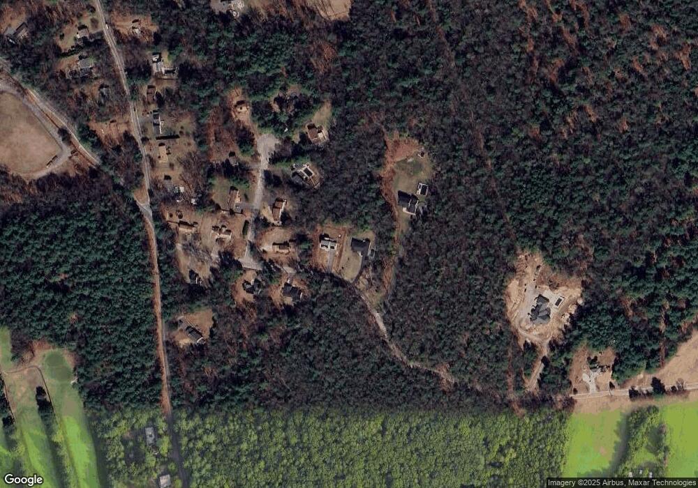
Map
Nearby Homes
- 369 College Hwy
- Lot 57 White Loaf Rd
- 36 County Rd
- 119 Brickyard Rd
- Lot 5 Brickyard Rd
- 4 Fitch Farm Way
- Lot 5 Gil Farm Rd
- Lot 6 Gil Farm Rd
- 216 College Hwy
- 150 Middle Rd
- 94 Pequot Rd (Rear)
- 14 Eastwood Dr
- 22 Eastwood Ln
- 405 Rock Valley Rd
- 64 Old Stage Rd
- 56 Pomeroy St
- 36 Line St
- 59 Campbell Dr
- 22 Phelps St
- 95 Gunn Rd
- 75 Moose Brook Rd
- 79 Moose Brook Rd
- 73 Moose Brook Rd
- 73 Moose Brook Rd Unit 1
- 4 Cheryl Ln
- 76 Moose Brook Rd
- 6 Cheryl Ln
- 74 Moose Brook Rd
- 8 Cheryl Ln
- 69 Moose Brook Rd
- 3 Cheryl Ln
- 5 Cheryl Ln
- 10 Cheryl Ln
- 70 Moose Brook Rd
- 61 Strong Rd
- 67 Moose Brook Rd
- 7 Cheryl Ln
- 79 Strong Rd
- 73 Strong Rd
- 91 Moose Brook Rd