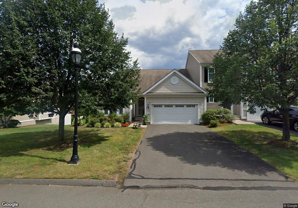
77 Sterling Dr Newington, CT 06111
Estimated Value: $443,412 - $500,000
2
Beds
2
Baths
1,592
Sq Ft
$298/Sq Ft
Est. Value
About This Home
This home is located at 77 Sterling Dr, Newington, CT 06111 and is currently estimated at $474,603, approximately $298 per square foot. 77 Sterling Dr is a home located in Hartford County with nearby schools including Anna Reynolds School, Martin Kellogg Middle School, and Newington High School.
Ownership History
Date
Name
Owned For
Owner Type
Purchase Details
Closed on
Mar 1, 2010
Sold by
Fairchild Ingrid and Thatcher Christine
Bought by
Pinnamraju Manohar Raju
Current Estimated Value
Home Financials for this Owner
Home Financials are based on the most recent Mortgage that was taken out on this home.
Original Mortgage
$269,950
Interest Rate
5.25%
Mortgage Type
FHA
Create a Home Valuation Report for This Property
The Home Valuation Report is an in-depth analysis detailing your home's value as well as a comparison with similar homes in the area
Home Values in the Area
Average Home Value in this Area
Purchase History
| Date | Buyer | Sale Price | Title Company |
|---|---|---|---|
| Pinnamraju Manohar Raju | $275,000 | -- |
Source: Public Records
Mortgage History
| Date | Status | Borrower | Loan Amount |
|---|---|---|---|
| Open | Pinnamraju Manohar Raju | $270,430 | |
| Closed | Pinnamraju Manohar Raju | $269,950 |
Source: Public Records
Tax History Compared to Growth
Tax History
| Year | Tax Paid | Tax Assessment Tax Assessment Total Assessment is a certain percentage of the fair market value that is determined by local assessors to be the total taxable value of land and additions on the property. | Land | Improvement |
|---|---|---|---|---|
| 2025 | $7,558 | $189,040 | $0 | $189,040 |
| 2024 | $7,499 | $189,040 | $0 | $189,040 |
| 2023 | $7,252 | $189,040 | $0 | $189,040 |
| 2022 | $7,276 | $189,040 | $0 | $189,040 |
| 2021 | $7,337 | $189,040 | $0 | $189,040 |
| 2020 | $7,579 | $192,950 | $0 | $192,950 |
| 2019 | $7,612 | $192,950 | $0 | $192,950 |
| 2018 | $7,429 | $192,950 | $0 | $192,950 |
| 2017 | $7,060 | $192,950 | $0 | $192,950 |
| 2016 | $6,898 | $192,950 | $0 | $192,950 |
| 2014 | $6,473 | $186,170 | $0 | $186,170 |
Source: Public Records
Map
Nearby Homes
- 236 Sterling Dr Unit 236
- 218 Sterling Dr Unit 218
- 228 Reservoir Rd
- 31 Dacosta Dr
- 16 Thornton Dr
- 305 Hampton Ct
- 20 Surrey Dr Unit B16 aka B4
- 140 Camp Ave
- 54 Red Top Dr
- 105 Gilbert Rd
- 9 Old Farm Dr
- 7 Old Farm Dr
- 135 Village Square Dr Unit 1
- 25 Fowler Dr
- 35 Harding Ave
- 47 Francis Dr
- 27 Harding Ave
- 760 Willard Ave
- 57 Welles Dr
- 84 Barbour Rd
- 77 Sterling Dr Unit 77
- 71 Sterling Dr
- 89 Sterling Dr
- 65 Sterling Dr
- 83 Sterling Dr
- 83 Sterling Dr Unit 83
- 95 Sterling Dr
- 95 Sterling Dr Unit 95
- 59 Sterling Dr
- 74 Sterling Dr
- 74 Sterling Dr Unit 74
- 68 Sterling Dr
- 68 Sterling Dr Unit 68
- 80 Sterling Dr
- 53 Sterling Dr
- 56 Sterling Dr
- 56 Sterling Dr
- 50 Sterling Dr
- 101 Sterling Dr
- 101 Sterling Dr Unit 101