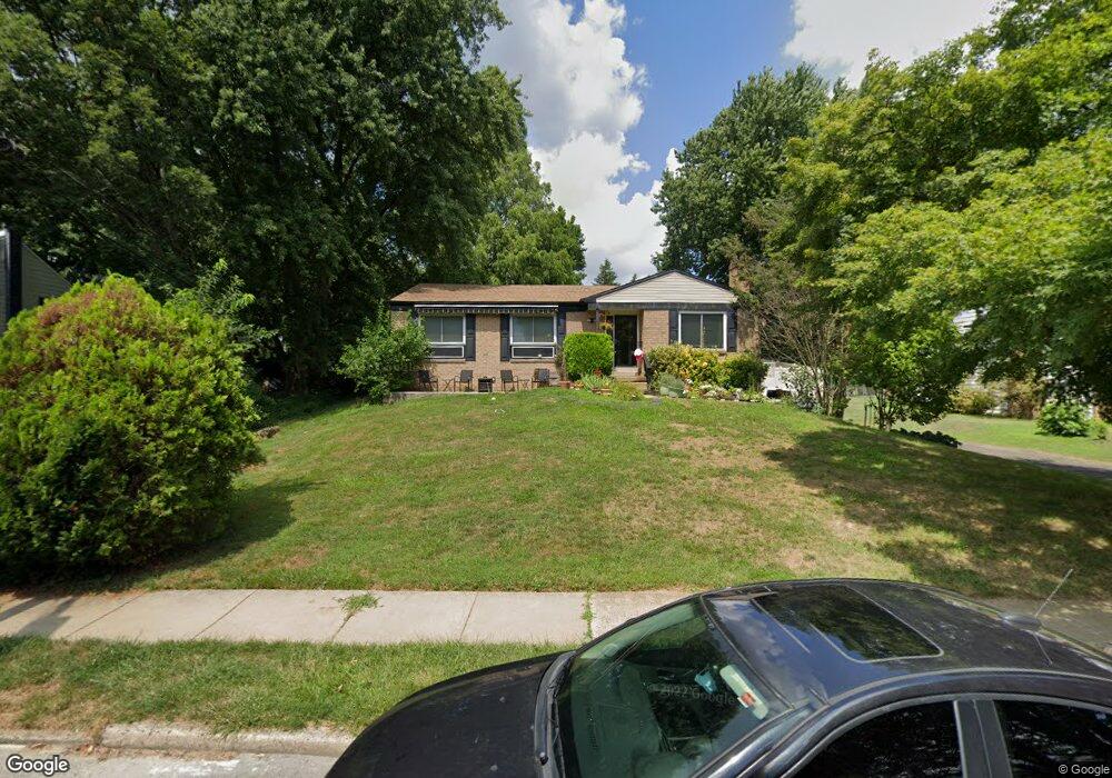
7702 Brookfield Rd Cheltenham, PA 19012
Estimated Value: $373,000 - $396,000
3
Beds
2
Baths
1,698
Sq Ft
$227/Sq Ft
Est. Value
About This Home
This home is located at 7702 Brookfield Rd, Cheltenham, PA 19012 and is currently estimated at $384,944, approximately $226 per square foot. 7702 Brookfield Rd is a home located in Montgomery County with nearby schools including Cheltenham Elementary School, Elkins Park School, and Cedarbrook Middle School.
Ownership History
Date
Name
Owned For
Owner Type
Purchase Details
Closed on
Jul 16, 2008
Sold by
Steinberg Barbara J and Shelly Vicki S
Bought by
Macon Reginald and Macon Jennifer
Current Estimated Value
Home Financials for this Owner
Home Financials are based on the most recent Mortgage that was taken out on this home.
Original Mortgage
$200,462
Outstanding Balance
$131,921
Interest Rate
6.47%
Estimated Equity
$253,023
Purchase Details
Closed on
Nov 15, 2006
Sold by
Steinberg Barbara J and Steinberg Edward M
Bought by
Steinberg Barbara J and Shelly Vicki S
Create a Home Valuation Report for This Property
The Home Valuation Report is an in-depth analysis detailing your home's value as well as a comparison with similar homes in the area
Home Values in the Area
Average Home Value in this Area
Purchase History
| Date | Buyer | Sale Price | Title Company |
|---|---|---|---|
| Macon Reginald | $207,500 | None Available | |
| Steinberg Barbara J | -- | None Available |
Source: Public Records
Mortgage History
| Date | Status | Borrower | Loan Amount |
|---|---|---|---|
| Open | Macon Reginald | $200,462 |
Source: Public Records
Tax History Compared to Growth
Tax History
| Year | Tax Paid | Tax Assessment Tax Assessment Total Assessment is a certain percentage of the fair market value that is determined by local assessors to be the total taxable value of land and additions on the property. | Land | Improvement |
|---|---|---|---|---|
| 2025 | $7,507 | $112,400 | -- | -- |
| 2024 | $7,507 | $112,400 | -- | -- |
| 2023 | $7,423 | $112,400 | $0 | $0 |
| 2022 | $7,295 | $112,400 | $0 | $0 |
| 2021 | $7,095 | $112,400 | $0 | $0 |
| 2020 | $6,891 | $112,400 | $0 | $0 |
| 2019 | $6,753 | $112,400 | $0 | $0 |
| 2018 | $2,256 | $112,400 | $0 | $0 |
| 2017 | $6,447 | $112,400 | $0 | $0 |
| 2016 | $6,404 | $112,400 | $0 | $0 |
| 2015 | $6,790 | $125,000 | $45,120 | $79,880 |
| 2014 | $6,790 | $125,000 | $45,120 | $79,880 |
Source: Public Records
Map
Nearby Homes
- 7815 Gayle Rd
- 7944 Milltown Cir
- 7620 Front St
- 100 Boncouer Rd
- 8043 Milltown Cir
- 7953 Milltown Cir
- 7608 Coventry Ave
- 1045 Miles Ct
- 817 Ashbourne Rd
- 204 Lenape Ave
- 651 Croyden Rd
- 609 Boyer Rd
- 111 Tookany Creek Pkwy
- 7301 Coventry Ave Unit 502
- 528 Ashbourne Rd
- 6588 W Walnut Park Dr
- 5 Beryl Rd
- 7301 Chestnut Ave
- 512 Crest Ave
- 710 Rowland Ave
- 7704 Brookfield Rd
- 7644 Brookfield Rd
- 7703 Oak Lane Rd
- 7701 Oak Lane Rd
- 7706 Brookfield Rd
- 7705 Oak Lane Rd
- 7642 Brookfield Rd
- 7643 Oak Lane Rd
- 137 Andrea Rd
- 7701 Brookfield Rd
- 7707 Oak Lane Rd
- 7800 Brookfield Rd
- 7640 Brookfield Rd
- 7641 Oak Lane Rd
- 135 Andrea Rd
- 7709 Oak Lane Rd
- 126 Pleasant Hill Rd
- 7802 Brookfield Rd
- 7638 Brookfield Rd Unit 64
- 7643 Brookfield Rd