7703 Houston Rd Sanger, TX 76266
Estimated Value: $376,148 - $421,000
2
Beds
2
Baths
1,274
Sq Ft
$310/Sq Ft
Est. Value
About This Home
This home is located at 7703 Houston Rd, Sanger, TX 76266 and is currently estimated at $395,287, approximately $310 per square foot. 7703 Houston Rd is a home located in Denton County with nearby schools including Chisholm Trail Elementary School, Clear Creek Intermediate School, and Sanger Sixth Grade Campus.
Ownership History
Date
Name
Owned For
Owner Type
Purchase Details
Closed on
Dec 11, 2014
Sold by
Green D Edward
Bought by
Vanbuskirk John Van
Current Estimated Value
Home Financials for this Owner
Home Financials are based on the most recent Mortgage that was taken out on this home.
Original Mortgage
$140,000
Outstanding Balance
$107,515
Interest Rate
3.99%
Mortgage Type
Seller Take Back
Estimated Equity
$287,772
Create a Home Valuation Report for This Property
The Home Valuation Report is an in-depth analysis detailing your home's value as well as a comparison with similar homes in the area
Home Values in the Area
Average Home Value in this Area
Purchase History
| Date | Buyer | Sale Price | Title Company |
|---|---|---|---|
| Vanbuskirk John Van | -- | Title Resources |
Source: Public Records
Mortgage History
| Date | Status | Borrower | Loan Amount |
|---|---|---|---|
| Open | Vanbuskirk John Van | $140,000 |
Source: Public Records
Tax History Compared to Growth
Tax History
| Year | Tax Paid | Tax Assessment Tax Assessment Total Assessment is a certain percentage of the fair market value that is determined by local assessors to be the total taxable value of land and additions on the property. | Land | Improvement |
|---|---|---|---|---|
| 2025 | $854 | $263,781 | $179,218 | $179,044 |
| 2024 | $3,293 | $242,635 | $0 | $0 |
| 2023 | $654 | $207,510 | $179,218 | $181,218 |
| 2022 | $3,140 | $189,332 | $118,483 | $103,943 |
| 2021 | $2,517 | $172,487 | $74,052 | $98,435 |
| 2020 | $2,706 | $172,210 | $74,052 | $98,158 |
| 2019 | $2,591 | $158,341 | $74,052 | $98,383 |
| 2018 | $2,393 | $145,140 | $74,052 | $100,817 |
| 2017 | $2,194 | $132,156 | $55,539 | $80,431 |
| 2016 | $1,836 | $122,000 | $33,323 | $88,677 |
| 2015 | $161 | $134,606 | $33,323 | $101,283 |
| 2014 | $161 | $69,906 | $33,323 | $36,583 |
| 2013 | -- | $71,037 | $33,323 | $37,714 |
Source: Public Records
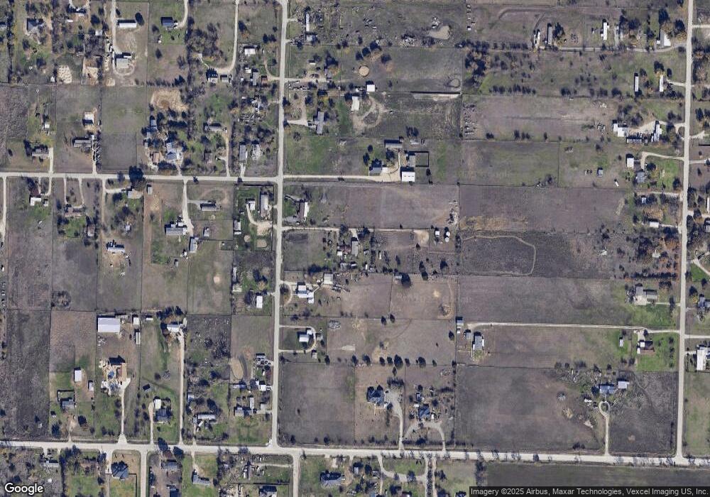
Map
Nearby Homes
- 8167 Houston
- 9191 Lamar St
- 7236 Davidson Rd
- 6568 Michael Rd
- 6501 Indian Trail
- 8774 Kassandra Dr
- 8636 Kassandra Dr
- 6400 Ridgerock Dr
- 8751 Kassandra Dr
- . Fm 2450 & Indian Trail
- 6048 Mango Dr
- 6044 Mango Dr
- 6033 Mango Dr
- 14158 Crest View Rd
- TBD Michael Rd
- 6713 Mustang Trail
- 8875 Fm 2450
- 6552 Private Rd 6601
- 7196 Hawkeye Rd
- TBD Hawkeye Rd
- 7675 Houston Rd
- 7675 Houston Rd
- 7755 Houston Rd
- 7597 Houston Rd
- 7650 Houston Rd
- 7795 Houston Rd
- 7565 Houston Rd
- 8947 Travis Rd
- 7420 Indian Trail
- 8900 Travis Rd
- 7535 Houston Rd
- 7806 Indian Trail
- 7856 Houston Rd
- 8905 Travis Rd
- 8860 Travis Rd
- 7483 Indian Trail
- 8954 Lamar St
- 7463 Indian Trail
- 7816 Indian Trail
- 7463 Indian Trail Trail