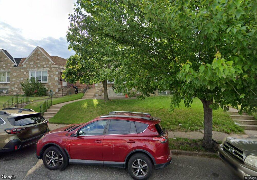
7708 Richard St Philadelphia, PA 19152
Rhawnhurst NeighborhoodEstimated Value: $295,000 - $329,000
3
Beds
2
Baths
1,169
Sq Ft
$270/Sq Ft
Est. Value
About This Home
This home is located at 7708 Richard St, Philadelphia, PA 19152 and is currently estimated at $315,467, approximately $269 per square foot. 7708 Richard St is a home located in Philadelphia County with nearby schools including Rhawnhurst School, Castor Gardens Middle School, and Northeast High School.
Ownership History
Date
Name
Owned For
Owner Type
Purchase Details
Closed on
Jun 4, 2010
Sold by
Altimari Mario and Tohanczyn Nancy
Bought by
Davis Christopher M
Current Estimated Value
Home Financials for this Owner
Home Financials are based on the most recent Mortgage that was taken out on this home.
Original Mortgage
$172,575
Outstanding Balance
$116,452
Interest Rate
5.11%
Mortgage Type
FHA
Estimated Equity
$199,015
Create a Home Valuation Report for This Property
The Home Valuation Report is an in-depth analysis detailing your home's value as well as a comparison with similar homes in the area
Home Values in the Area
Average Home Value in this Area
Purchase History
| Date | Buyer | Sale Price | Title Company |
|---|---|---|---|
| Davis Christopher M | $174,900 | None Available |
Source: Public Records
Mortgage History
| Date | Status | Borrower | Loan Amount |
|---|---|---|---|
| Open | Davis Christopher M | $172,575 |
Source: Public Records
Tax History Compared to Growth
Tax History
| Year | Tax Paid | Tax Assessment Tax Assessment Total Assessment is a certain percentage of the fair market value that is determined by local assessors to be the total taxable value of land and additions on the property. | Land | Improvement |
|---|---|---|---|---|
| 2025 | $3,262 | $290,800 | $58,160 | $232,640 |
| 2024 | $3,262 | $290,800 | $58,160 | $232,640 |
| 2023 | $3,262 | $233,000 | $46,600 | $186,400 |
| 2022 | $2,135 | $188,000 | $46,600 | $141,400 |
| 2021 | $2,765 | $0 | $0 | $0 |
| 2020 | $2,765 | $0 | $0 | $0 |
| 2019 | $2,517 | $0 | $0 | $0 |
| 2018 | $2,322 | $0 | $0 | $0 |
| 2017 | $2,322 | $0 | $0 | $0 |
| 2016 | $2,322 | $0 | $0 | $0 |
| 2015 | $2,223 | $0 | $0 | $0 |
| 2014 | -- | $165,900 | $49,704 | $116,196 |
| 2012 | -- | $22,272 | $2,980 | $19,292 |
Source: Public Records
Map
Nearby Homes
- 7815 Horrocks St
- 2120 Napfle St
- 7722 Fairfield St
- 7525 Calvert St
- 7521 Calvert St
- 2023 Hartel Ave
- 2301 Ripley St
- 2345 Ripley St
- 2123 Loney St
- 2302 Rhawn St
- 7703 Brous Ave
- 2029 Loney St
- 1919 Lansing St
- 2250 Stanwood St
- 2232 Stanwood St
- 7914 Farnsworth St
- 1917 Griffith St
- 7414 Castor Ave
- 7528 Loretto Ave
- 1834 Lansing St
- 7706 Richard St
- 7710 Richard St
- 7704 Richard St
- 7712 Richard St
- 7702 Richard St
- 7714 Richard St
- 7700 Richard St
- 7716 Richard St
- 2300 Hartel Ave
- 2300 Hartel Ave
- 7718 Richard St
- 7709 Richard St
- 7707 Richard St
- 7711 Richard St
- 7705 Richard St
- 7713 Richard St
- 7720 Richard St
- 7703 Richard St
- 7715 Richard St
- 7701 Richard St