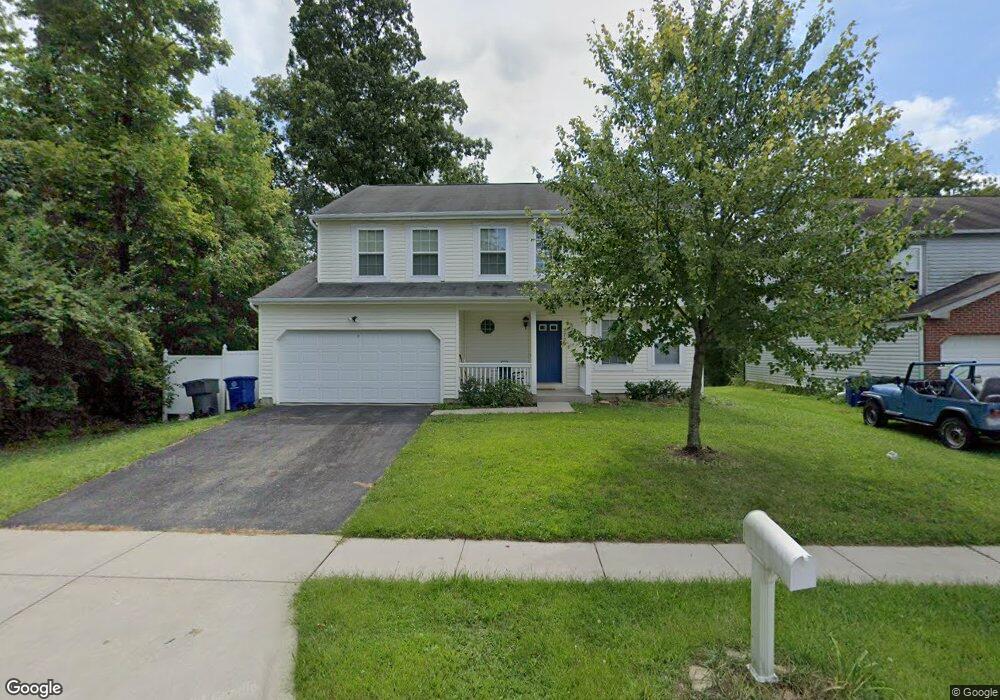
7709 Swindon St Blacklick, OH 43004
East Broad NeighborhoodEstimated Value: $352,000 - $371,000
3
Beds
3
Baths
2,134
Sq Ft
$168/Sq Ft
Est. Value
About This Home
This home is located at 7709 Swindon St, Blacklick, OH 43004 and is currently estimated at $359,548, approximately $168 per square foot. 7709 Swindon St is a home located in Franklin County with nearby schools including Olde Orchard Elementary School, Sherwood Middle School, and Walnut Ridge High School.
Ownership History
Date
Name
Owned For
Owner Type
Purchase Details
Closed on
Feb 22, 2001
Sold by
Maronda Homes Inc
Bought by
Leatherwood David E and Leatherwood Lisa R
Current Estimated Value
Home Financials for this Owner
Home Financials are based on the most recent Mortgage that was taken out on this home.
Original Mortgage
$60,000
Interest Rate
7.18%
Create a Home Valuation Report for This Property
The Home Valuation Report is an in-depth analysis detailing your home's value as well as a comparison with similar homes in the area
Home Values in the Area
Average Home Value in this Area
Purchase History
| Date | Buyer | Sale Price | Title Company |
|---|---|---|---|
| Leatherwood David E | $147,000 | -- |
Source: Public Records
Mortgage History
| Date | Status | Borrower | Loan Amount |
|---|---|---|---|
| Closed | Leatherwood David E | $60,000 |
Source: Public Records
Tax History Compared to Growth
Tax History
| Year | Tax Paid | Tax Assessment Tax Assessment Total Assessment is a certain percentage of the fair market value that is determined by local assessors to be the total taxable value of land and additions on the property. | Land | Improvement |
|---|---|---|---|---|
| 2024 | $5,088 | $113,370 | $30,980 | $82,390 |
| 2023 | $5,023 | $113,365 | $30,975 | $82,390 |
| 2022 | $3,742 | $72,140 | $17,500 | $54,640 |
| 2021 | $3,748 | $72,140 | $17,500 | $54,640 |
| 2020 | $3,753 | $72,140 | $17,500 | $54,640 |
| 2019 | $3,455 | $56,950 | $14,000 | $42,950 |
| 2018 | $3,127 | $56,950 | $14,000 | $42,950 |
| 2017 | $3,453 | $56,950 | $14,000 | $42,950 |
| 2016 | $3,091 | $46,660 | $6,830 | $39,830 |
| 2015 | $2,806 | $46,660 | $6,830 | $39,830 |
| 2014 | $2,813 | $46,660 | $6,830 | $39,830 |
| 2013 | $1,541 | $51,835 | $7,595 | $44,240 |
Source: Public Records
Map
Nearby Homes
- 7645 Swindon St
- 7589 Swindon St
- 192 Strathsprey Dr
- 7831 Fairfax Loop Dr
- 160 Strathsprey Dr
- 7883 Grandlin Park Ct
- 108 Kingsmeadow Ln
- 417 Hannifin Dr
- 466 Hannifin Dr
- 267 Brueghel Rd
- 8002 Overmont Ridge Rd
- 7991 Windsome Ct
- 307 Deer Trail Rd
- 208 Glenkirk Dr Unit 104B
- 7452 Call Rd Unit 99F
- 7374 Donovan Dr Unit 96A
- 7781 Hazelton St
- 625 Streamwater Dr
- 353 Waggoner Rd
- 399 Dysar Run Dr Unit 28
- 7701 Swindon St
- 7693 Swindon St
- 156 E Broadstone Cir E
- 148 E Broadstone Cr Cir E
- 148 Broadstone Cir E
- 164 W Broadstone Cr Cir E
- 7685 Swindon St
- 172 Broadstone Cir E
- 170 Bergoholt St
- 7677 Swindon St
- 132 E Broadstone Cr Cir E
- 7684 Swindon St
- 143 W Broadstone Cr Cir W
- 161 W Broadstone Cr Cir E
- 178 Bergoholt St
- 153 Broadstone Cir E
- 7669 Swindon St
- 124 Broadstone Cir E
- 7668 Swindon St
- 135 Broadstone Cir W