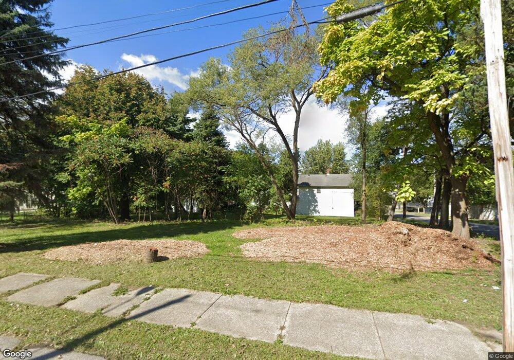
7713 Worley Ave Cleveland, OH 44105
Slavic Village NeighborhoodEstimated Value: $34,000
3
Beds
1
Bath
1,452
Sq Ft
$23/Sq Ft
Est. Value
About This Home
This home is located at 7713 Worley Ave, Cleveland, OH 44105 and is currently priced at $34,000, approximately $23 per square foot. 7713 Worley Ave is a home located in Cuyahoga County with nearby schools including Anton Grdina School, Bolton, and Andrew J. Rickoff School.
Ownership History
Date
Name
Owned For
Owner Type
Purchase Details
Closed on
Jun 26, 2018
Sold by
The Cuyahoga County Land Reutilization C
Bought by
City Of Cleveland Land Reulitization Pro
Current Estimated Value
Purchase Details
Closed on
Nov 10, 2014
Sold by
Bell Mamie B
Bought by
Cuyahoga County Land Reutilization Corpo
Purchase Details
Closed on
Oct 30, 1987
Sold by
Blankenship Goldie
Bought by
Bell Mamie B
Purchase Details
Closed on
Sep 12, 1984
Sold by
Blankenship Offie and Blankenship Goldie
Bought by
Blankenship Goldie
Purchase Details
Closed on
Jan 1, 1975
Bought by
Blankenship Offie and Blankenship Goldie
Create a Home Valuation Report for This Property
The Home Valuation Report is an in-depth analysis detailing your home's value as well as a comparison with similar homes in the area
Home Values in the Area
Average Home Value in this Area
Purchase History
| Date | Buyer | Sale Price | Title Company |
|---|---|---|---|
| City Of Cleveland Land Reulitization Pro | -- | None Available | |
| Cuyahoga County Land Reutilization Corpo | -- | None Available | |
| Bell Mamie B | $19,900 | -- | |
| Blankenship Goldie | -- | -- | |
| Blankenship Offie | -- | -- |
Source: Public Records
Tax History Compared to Growth
Tax History
| Year | Tax Paid | Tax Assessment Tax Assessment Total Assessment is a certain percentage of the fair market value that is determined by local assessors to be the total taxable value of land and additions on the property. | Land | Improvement |
|---|---|---|---|---|
| 2024 | -- | $700 | $700 | -- |
| 2022 | $0 | $1,400 | $1,400 | $0 |
| 2021 | $0 | $1,400 | $1,400 | $0 |
| 2020 | $0 | $1,400 | $1,400 | $0 |
| 2019 | $0 | $0 | $0 | $0 |
| 2018 | $0 | $1,400 | $1,400 | $0 |
| 2017 | $0 | $0 | $0 | $0 |
| 2016 | $0 | $0 | $0 | $0 |
| 2015 | -- | $0 | $0 | $0 |
| 2014 | -- | $0 | $0 | $0 |
Source: Public Records
Map
Nearby Homes
- 7623 Dercum Rd
- 7738 Spafford Rd
- 7505 Ottawa Rd
- 7605 Ottawa Rd
- 7528 Ottawa Rd
- 7509 Indiana Ave
- 7304 Worley Ave
- 3952 E 74th St
- 3971 E 71st St
- 7427 Spafford Rd
- 6917 Worley Ave
- 6920 Hosmer Ave
- 4092 E 72nd St
- 7418 Clement Ave
- 4119 E 79th St
- 7213 Park Ave
- 3978 E 89th St
- 6714 Ottawa Rd
- 6901 Fullerton Ave
- 7211 Covert Ave
- 7830 Spafford Rd
- 7916 Spafford Rd
- 7704 Worley Ave
- 7828 Spafford Rd
- 7826 Spafford Rd
- 7617 Worley Ave
- 7630 Worley Ave
- 7915 Spafford Rd
- 7609 Worley Ave
- 7624 Worley Ave
- 7628 Worley Ave
- 7920 Spafford Rd
- 7820 Spafford Rd
- 7922 Spafford Rd
- 7605 Worley Ave
- 7605 7607 Worley Ave
- 7619 Dercum Rd
- 7926 Spafford Rd
- 7808 Worley Ave
- 7625 Dercum Rd