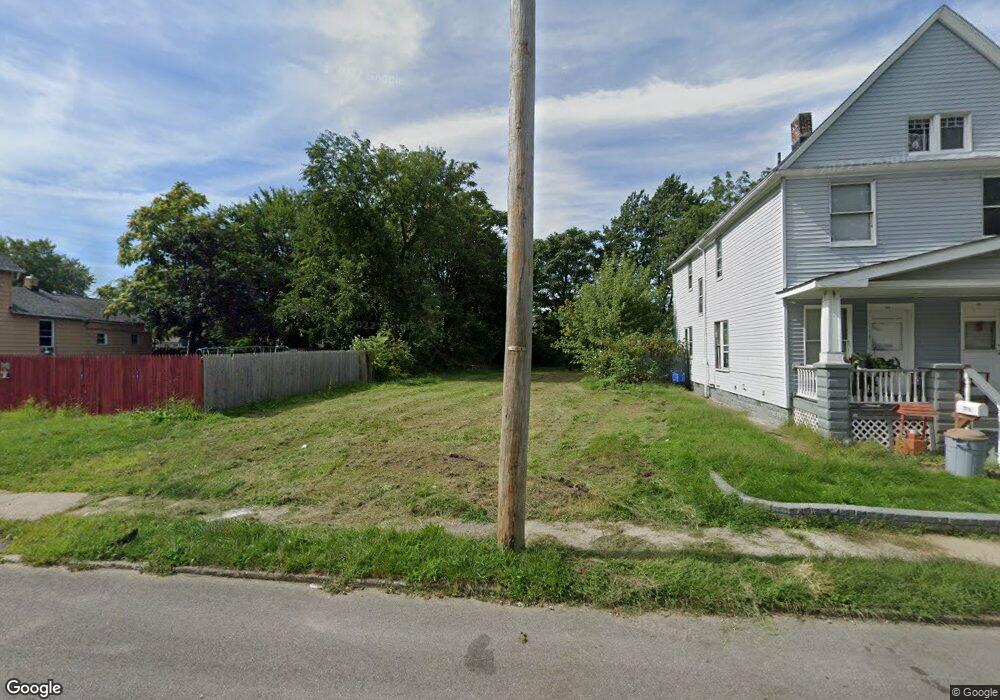
7718 Dercum Rd Cleveland, OH 44105
Slavic Village NeighborhoodEstimated Value: $33,000 - $196,000
2
Beds
1
Bath
960
Sq Ft
$103/Sq Ft
Est. Value
About This Home
This home is located at 7718 Dercum Rd, Cleveland, OH 44105 and is currently estimated at $98,667, approximately $102 per square foot. 7718 Dercum Rd is a home located in Cuyahoga County with nearby schools including Anton Grdina School, Bolton, and Andrew J. Rickoff School.
Ownership History
Date
Name
Owned For
Owner Type
Purchase Details
Closed on
Jul 29, 2003
Sold by
Cashman Sharon
Bought by
Barry Donald E
Current Estimated Value
Purchase Details
Closed on
Jun 23, 1993
Sold by
Barry Donald E
Bought by
Cashman Sharon
Purchase Details
Closed on
Jul 16, 1992
Bought by
Barry Donald E
Purchase Details
Closed on
Dec 6, 1991
Sold by
Hutchinson Michael E
Bought by
Sec. Of Veterans Affairs
Purchase Details
Closed on
Feb 9, 1989
Sold by
Decara Martin J
Bought by
Hutchinson Michael E
Purchase Details
Closed on
May 10, 1978
Sold by
Zachwieja Frank and Zachwieja Gertrude
Bought by
Decara Martin J
Purchase Details
Closed on
Jan 1, 1975
Bought by
Zachwieja Frank and Zachwieja Gertrude
Create a Home Valuation Report for This Property
The Home Valuation Report is an in-depth analysis detailing your home's value as well as a comparison with similar homes in the area
Home Values in the Area
Average Home Value in this Area
Purchase History
| Date | Buyer | Sale Price | Title Company |
|---|---|---|---|
| Barry Donald E | -- | -- | |
| Cashman Sharon | -- | -- | |
| Barry Donald E | -- | -- | |
| Sec. Of Veterans Affairs | -- | -- | |
| Hutchinson Michael E | $32,800 | -- | |
| Decara Martin J | $17,500 | -- | |
| Zachwieja Frank | -- | -- |
Source: Public Records
Tax History Compared to Growth
Tax History
| Year | Tax Paid | Tax Assessment Tax Assessment Total Assessment is a certain percentage of the fair market value that is determined by local assessors to be the total taxable value of land and additions on the property. | Land | Improvement |
|---|---|---|---|---|
| 2024 | $766 | $4,935 | $4,935 | -- |
| 2023 | $708 | $3,430 | $3,430 | $0 |
| 2022 | $701 | $3,430 | $3,430 | $0 |
| 2021 | $256 | $3,430 | $3,430 | $0 |
| 2020 | $260 | $3,010 | $3,010 | $0 |
| 2019 | $8,862 | $8,600 | $8,600 | $0 |
| 2018 | $1,659 | $4,170 | $3,010 | $1,160 |
| 2017 | $1,317 | $6,310 | $1,930 | $4,380 |
| 2016 | $959 | $6,310 | $1,930 | $4,380 |
| 2015 | $15,309 | $6,310 | $1,930 | $4,380 |
| 2014 | $15,309 | $6,310 | $1,930 | $4,380 |
Source: Public Records
Map
Nearby Homes
- 7605 Ottawa Rd
- 7528 Ottawa Rd
- 7623 Dercum Rd
- 7505 Ottawa Rd
- 7509 Indiana Ave
- 7738 Spafford Rd
- 3952 E 74th St
- 7304 Worley Ave
- 3971 E 71st St
- 7418 Clement Ave
- 4092 E 72nd St
- 4119 E 79th St
- 7213 Park Ave
- 7427 Spafford Rd
- 6917 Worley Ave
- 7211 Covert Ave
- 6920 Hosmer Ave
- 3978 E 89th St
- 6714 Ottawa Rd
- 4067 E 68th St
- 7712 Dercum Rd Unit 7714
- 7722 Dercum Rd
- 7710 Dercum Rd
- 7726 Dercum Rd
- 7706 Dercum Rd
- 7730 Dercum Rd
- 7702 Dercum Rd
- 7732 Dercum Rd
- 7601 Ottawa Rd
- 7721 Dercum Rd
- 7605 Ottawa Rd Unit UP
- 7527 Ottawa Rd
- 7609 Ottawa Rd
- 7717 Dercum Rd
- 7738 Dercum Rd
- 7613 Ottawa Rd
- 7626 Dercum Rd
- 7715 Dercum Rd
- 7705 Dercum Rd
- 7519 Ottawa Rd