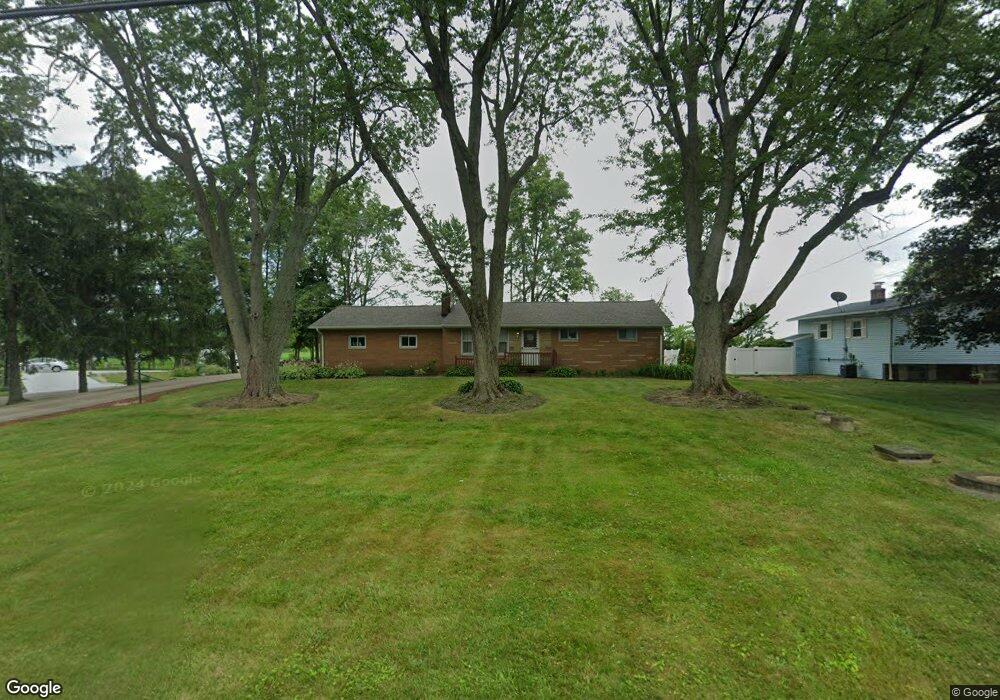
7720 Lakefield St Louisville, OH 44641
Estimated Value: $178,000 - $223,000
3
Beds
1
Bath
1,014
Sq Ft
$203/Sq Ft
Est. Value
About This Home
This home is located at 7720 Lakefield St, Louisville, OH 44641 and is currently estimated at $206,158, approximately $203 per square foot. 7720 Lakefield St is a home located in Stark County with nearby schools including Louisville High School and St. Thomas Aquinas High School & Middle School.
Ownership History
Date
Name
Owned For
Owner Type
Purchase Details
Closed on
Apr 28, 1995
Sold by
Miller Donald L
Bought by
Kroah Raymond H and Kroah Jan
Current Estimated Value
Home Financials for this Owner
Home Financials are based on the most recent Mortgage that was taken out on this home.
Original Mortgage
$81,595
Interest Rate
8.42%
Mortgage Type
FHA
Create a Home Valuation Report for This Property
The Home Valuation Report is an in-depth analysis detailing your home's value as well as a comparison with similar homes in the area
Home Values in the Area
Average Home Value in this Area
Purchase History
| Date | Buyer | Sale Price | Title Company |
|---|---|---|---|
| Kroah Raymond H | $87,500 | -- |
Source: Public Records
Mortgage History
| Date | Status | Borrower | Loan Amount |
|---|---|---|---|
| Closed | Kroah Raymond H | $81,595 |
Source: Public Records
Tax History Compared to Growth
Tax History
| Year | Tax Paid | Tax Assessment Tax Assessment Total Assessment is a certain percentage of the fair market value that is determined by local assessors to be the total taxable value of land and additions on the property. | Land | Improvement |
|---|---|---|---|---|
| 2025 | -- | $61,120 | $16,000 | $45,120 |
| 2024 | -- | $61,120 | $16,000 | $45,120 |
| 2023 | $2,431 | $49,950 | $11,660 | $38,290 |
| 2022 | $2,438 | $49,950 | $11,660 | $38,290 |
| 2021 | $2,445 | $49,950 | $11,660 | $38,290 |
| 2020 | $1,969 | $42,500 | $9,980 | $32,520 |
| 2019 | $1,977 | $43,270 | $9,980 | $33,290 |
| 2018 | $2,007 | $43,270 | $9,980 | $33,290 |
| 2017 | $1,863 | $38,330 | $9,450 | $28,880 |
| 2016 | $1,791 | $37,670 | $9,450 | $28,220 |
| 2015 | $1,796 | $37,670 | $9,450 | $28,220 |
| 2014 | $1,787 | $34,690 | $8,680 | $26,010 |
| 2013 | $897 | $34,690 | $8,680 | $26,010 |
Source: Public Records
Map
Nearby Homes
- 7844 Morningstar Dr
- 6285 California Ave
- 6079 Eastlawn St NE
- 6052 N Nickelplate St
- 6150 Pilot View Cir
- 5700 Glena St
- 3580 Brookridge Ave Lot 15
- 5474 Ravenna Ave
- 0 Glenbar St
- 0 Brookridge Ave
- 524 Glenbar St
- 316 E Reno Dr
- 0 Pilot Knob Ave NE
- 614 Reno Dr
- 5495 Meese Rd NE
- 1561 Noel St
- 7875 Bentler Ave NE
- 910 Crosswyck Cir
- 428 Honeycrisp Dr NE
- 3047 Mcintosh Dr NE
- 7700 Lakefield St
- 7870 Ruble Ave
- 7750 Lakefield St
- 7680 Lakefield St
- 7721 Lakefield St
- 7701 Lakefield St
- 7660 Lakefield St
- 7960 Hebron Ave
- 7810 Lakefield St
- 7989 Ruble Ave
- 7640 Lakefield St
- 7970 Ruble Ave
- 7980 Hebron Ave
- 7635 Lakefield St
- 8001 Ruble Ave
- 8001 Ruble Ave
- 7620 Lakefield St
- 8000 Hebron Ave
- 8000 Ruble Ave
- 7621 Lakefield St