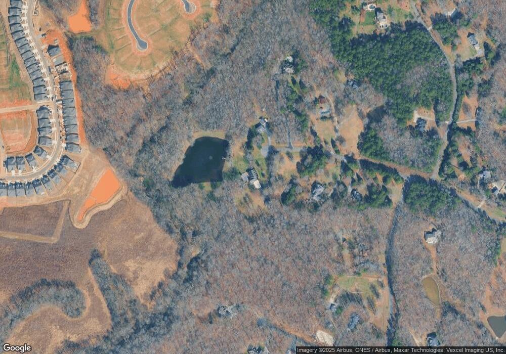
7721 Mill Pond Dr Waxhaw, NC 28173
Estimated Value: $1,064,000 - $1,500,000
4
Beds
5
Baths
3,184
Sq Ft
$394/Sq Ft
Est. Value
About This Home
This home is located at 7721 Mill Pond Dr, Waxhaw, NC 28173 and is currently estimated at $1,253,978, approximately $393 per square foot. 7721 Mill Pond Dr is a home located in Union County with nearby schools including Waxhaw Elementary School, Cuthbertson Middle School, and Cuthbertson High School.
Ownership History
Date
Name
Owned For
Owner Type
Purchase Details
Closed on
Mar 18, 2002
Sold by
Foulke Richard S and Foulke Linda Hill
Bought by
Foulke Richard S and Foulke Linda Hill
Current Estimated Value
Purchase Details
Closed on
Dec 17, 2001
Sold by
Morgan Kelly R and Morgan Lori L
Bought by
Foulke Richard S
Home Financials for this Owner
Home Financials are based on the most recent Mortgage that was taken out on this home.
Original Mortgage
$356,000
Interest Rate
6.5%
Create a Home Valuation Report for This Property
The Home Valuation Report is an in-depth analysis detailing your home's value as well as a comparison with similar homes in the area
Home Values in the Area
Average Home Value in this Area
Purchase History
| Date | Buyer | Sale Price | Title Company |
|---|---|---|---|
| Foulke Richard S | -- | -- | |
| Foulke Richard S | $445,000 | -- |
Source: Public Records
Mortgage History
| Date | Status | Borrower | Loan Amount |
|---|---|---|---|
| Closed | Foulke Richard S | $356,000 |
Source: Public Records
Tax History Compared to Growth
Tax History
| Year | Tax Paid | Tax Assessment Tax Assessment Total Assessment is a certain percentage of the fair market value that is determined by local assessors to be the total taxable value of land and additions on the property. | Land | Improvement |
|---|---|---|---|---|
| 2024 | $3,406 | $531,900 | $149,200 | $382,700 |
| 2023 | $3,350 | $531,900 | $149,200 | $382,700 |
| 2022 | $3,350 | $531,900 | $149,200 | $382,700 |
| 2021 | $3,342 | $531,900 | $149,200 | $382,700 |
| 2020 | $2,966 | $378,550 | $90,450 | $288,100 |
| 2019 | $2,974 | $378,550 | $90,450 | $288,100 |
| 2018 | $2,974 | $378,550 | $90,450 | $288,100 |
| 2017 | $3,113 | $378,600 | $90,500 | $288,100 |
| 2016 | $3,037 | $378,550 | $90,450 | $288,100 |
| 2015 | $3,084 | $378,550 | $90,450 | $288,100 |
| 2014 | $3,425 | $487,800 | $270,000 | $217,800 |
Source: Public Records
Map
Nearby Homes
- 1323 Encore Ln
- 1338 Encore Ln
- 1104 Cane Way
- Preserve Plan at Encore at Streamside - Tradition Series
- Flourish Plan at Encore at Streamside - Classic Series
- Venture Plan at Encore at Streamside - Tradition Series
- Engage Plan at Encore at Streamside - Tradition Series
- 1015 Bourn Ln
- 1114 Pastoral Place
- 1110 Pastoral Place
- 1334 Idyllic Ln
- Lumina Plan at Encore at Streamside - Classic Series
- Allure Plan at Encore at Streamside - Classic Series
- Harwin Plan at Encore at Streamside - Tradition Series
- 1111 Meander Ln
- 1019 Bourn Ln
- 1023 Pastoral Place
- Luster Plan at Encore at Streamside - Tradition Series
- 1102 Pastoral Place
- Heirloom Plan at Encore at Streamside - Classic Series
- 7726 Mill Pond Dr
- 7713 Mill Pond Dr
- 1 Mill Pond Ln Unit 36
- 7722 Mill Pond Dr
- 7705 Mill Pond Dr
- 7718 Big Buck Trail
- 2310 Ski Trail Ln
- 7714 Mill Pond Dr
- 7720 Big Buck Trail
- Lot 64 Ski Trail Ln
- Lot 36 Ski Trail Ln
- Lot 37 Ski Trail Ln
- 2324 Ski Trail Ln
- 7717 Big Buck Trail
- 2230 Duxbak Ln
- 1421 Encore Ln
- 1427 Encore Ln
- 1431 Encore Ln
- 2307 Ski Trail Ln
- 1409 Encore Ln
