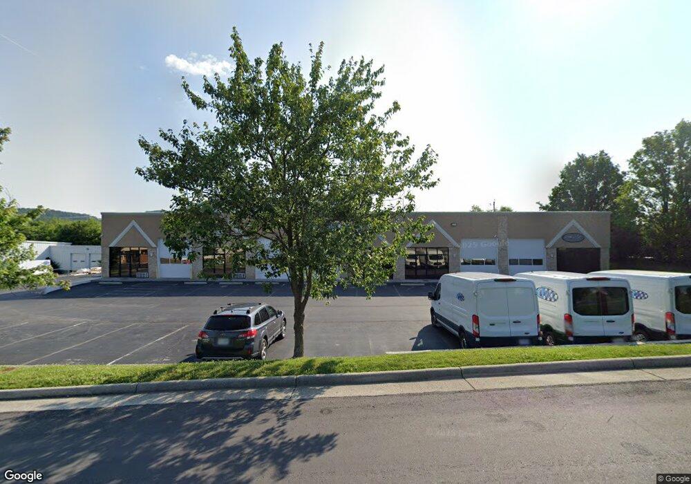
7736 Garland Cir Roanoke, VA 24019
Estimated Value: $1,432,969
--
Bed
--
Bath
11,100
Sq Ft
$129/Sq Ft
Est. Value
About This Home
This home is located at 7736 Garland Cir, Roanoke, VA 24019 and is currently estimated at $1,432,969, approximately $129 per square foot. 7736 Garland Cir is a home located in Roanoke County with nearby schools including Burlington Elementary School, Northside Middle School, and Northside High School.
Ownership History
Date
Name
Owned For
Owner Type
Purchase Details
Closed on
Jun 5, 2014
Sold by
The Stratford Llc
Bought by
Bse Investments Llc
Current Estimated Value
Home Financials for this Owner
Home Financials are based on the most recent Mortgage that was taken out on this home.
Original Mortgage
$600,000
Interest Rate
4.33%
Mortgage Type
Commercial
Purchase Details
Closed on
Jan 18, 2005
Sold by
Wiley Paul F
Bought by
Stratford Llc and Stratford Va Llc
Create a Home Valuation Report for This Property
The Home Valuation Report is an in-depth analysis detailing your home's value as well as a comparison with similar homes in the area
Home Values in the Area
Average Home Value in this Area
Purchase History
| Date | Buyer | Sale Price | Title Company |
|---|---|---|---|
| Bse Investments Llc | $750,000 | First American Title Ins Co | |
| Stratford Llc | -- | None Available |
Source: Public Records
Mortgage History
| Date | Status | Borrower | Loan Amount |
|---|---|---|---|
| Closed | Bse Investments Llc | $600,000 |
Source: Public Records
Tax History Compared to Growth
Tax History
| Year | Tax Paid | Tax Assessment Tax Assessment Total Assessment is a certain percentage of the fair market value that is determined by local assessors to be the total taxable value of land and additions on the property. | Land | Improvement |
|---|---|---|---|---|
| 2025 | $9,068 | $880,400 | $135,000 | $745,400 |
| 2024 | $8,875 | $853,400 | $135,000 | $718,400 |
| 2023 | $8,931 | $842,500 | $135,000 | $707,500 |
| 2022 | $9,051 | $830,400 | $135,000 | $695,400 |
| 2021 | $8,897 | $816,200 | $135,000 | $681,200 |
| 2020 | $8,587 | $787,800 | $135,000 | $652,800 |
| 2019 | $8,418 | $772,300 | $135,000 | $637,300 |
| 2018 | $8,235 | $772,300 | $135,000 | $637,300 |
| 2017 | $8,235 | $755,500 | $135,000 | $620,500 |
| 2016 | $8,050 | $738,500 | $135,000 | $603,500 |
| 2015 | $9,479 | $869,600 | $135,000 | $734,600 |
| 2014 | $9,479 | $869,600 | $135,000 | $734,600 |
Source: Public Records
Map
Nearby Homes
- 210 Post Rd
- 252 Knoll Rd
- 7303 Norman St
- 7323 La Marre Cir
- 8212 Loman Dr
- 0 Chester Dr
- 518 Boxley Rd
- 7116 Peyton St
- 7522 New Barrens Ct
- 427 Boxley Rd
- 8146 Williamson Rd
- 328 Boxley Rd
- 7044 Irondale Cir
- 6510 Brookfield Rd
- 8416 Stoney Corner Ln
- 8531 Muirfield Cir
- 8525 Muirfield Cir
- 7002 Brookview Rd
- 6915 Ardmore Dr
- 1141 Starmount Ave
- 7737 Garland Cir
- 7727 Garland Cir
- 7702 Garland Cir
- 7715 Garland Cir
- 7745 Garland Cir
- 7705 Meyers Dr
- 7716 Friendship Ln
- 7704 Meyers Dr
- 7700 Friendship Ln
- 7772 Friendship Ln
- 7634 Friendship Ln
- 7721 Meyers Dr
- 7720 Meyers Dr
- 7802 Friendship Ln
- 7729 Meyers Dr
- 7820 Friendship Ln
- 7824 Friendship Ln
- 7730 Meyers Dr
- 7606 Friendship Ln
- 7790 Lila Dr