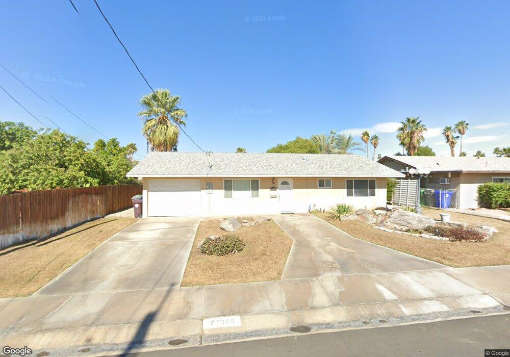
77360 Missouri Dr Palm Desert, CA 92211
Estimated Value: $336,000 - $454,000
2
Beds
2
Baths
1,064
Sq Ft
$381/Sq Ft
Est. Value
About This Home
This home is located at 77360 Missouri Dr, Palm Desert, CA 92211 and is currently estimated at $405,861, approximately $381 per square foot. 77360 Missouri Dr is a home located in Riverside County with nearby schools including Gerald R. Ford Elementary School, Colonel Mitchell Paige Middle School, and Palm Desert High School.
Ownership History
Date
Name
Owned For
Owner Type
Purchase Details
Closed on
Jul 8, 2022
Sold by
Houtz Gary A and Houtz Nancy A
Bought by
Houtz Family Trust
Current Estimated Value
Purchase Details
Closed on
Mar 21, 2005
Sold by
Johnson Jeffrey A and Stefferud Kristine H
Bought by
Houtz Gary A and Callan Houtz Nancy A
Home Financials for this Owner
Home Financials are based on the most recent Mortgage that was taken out on this home.
Original Mortgage
$115,000
Interest Rate
5.37%
Mortgage Type
New Conventional
Create a Home Valuation Report for This Property
The Home Valuation Report is an in-depth analysis detailing your home's value as well as a comparison with similar homes in the area
Home Values in the Area
Average Home Value in this Area
Purchase History
| Date | Buyer | Sale Price | Title Company |
|---|---|---|---|
| Houtz Family Trust | -- | None Listed On Document | |
| Houtz Gary A | $230,000 | Old Republic Title |
Source: Public Records
Mortgage History
| Date | Status | Borrower | Loan Amount |
|---|---|---|---|
| Previous Owner | Houtz Gary A | $115,000 |
Source: Public Records
Tax History Compared to Growth
Tax History
| Year | Tax Paid | Tax Assessment Tax Assessment Total Assessment is a certain percentage of the fair market value that is determined by local assessors to be the total taxable value of land and additions on the property. | Land | Improvement |
|---|---|---|---|---|
| 2025 | $4,608 | $320,572 | $96,163 | $224,409 |
| 2023 | $4,608 | $308,126 | $92,430 | $215,696 |
| 2022 | $4,250 | $302,085 | $90,618 | $211,467 |
| 2021 | $3,976 | $281,940 | $83,982 | $197,958 |
| 2020 | $3,577 | $251,732 | $74,984 | $176,748 |
| 2019 | $3,485 | $244,400 | $72,800 | $171,600 |
| 2018 | $3,368 | $235,000 | $70,000 | $165,000 |
| 2017 | $3,334 | $233,000 | $70,000 | $163,000 |
| 2016 | $3,149 | $219,000 | $55,000 | $164,000 |
| 2015 | $2,817 | $189,000 | $57,000 | $132,000 |
| 2014 | $2,842 | $198,000 | $59,000 | $139,000 |
Source: Public Records
Map
Nearby Homes
- 77322 Missouri Dr
- 77380 Minnesota Ave
- 77265 California Dr
- 77235 Minnesota Ave
- 77630 California Dr
- 42660 Iowa St
- 77650 California Dr
- 77190 Minnesota Ave
- 42639 Devonshire St
- 41823 Preston Trail
- 42585 Iowa St
- 42440 Kansas St
- 77583 Woodhaven Dr S Unit 832
- 41934 Preston Trail
- 43170 Warner Trail
- 77178 Pauma Valley Way
- 41806 Jupiter Hills Ct
- 42245 Kansas St
- 41690 Woodhaven Dr W
- 42660 Wisconsin Ave
- 77370 Missouri Dr
- 77350 Missouri Dr
- 77355 California Dr
- 77365 California Dr
- 77346 Missouri Dr
- 77361 Missouri Dr
- 77375 California Dr
- 77355 Missouri Dr
- 77390 Missouri Dr
- 77375 Missouri Dr
- 77353 Missouri Dr
- 77385 California Dr
- 77349 Missouri Dr
- 77400 Missouri Dr
- 77385 Missouri Dr
- 77351 Missouri Dr
- 77360 California Dr
- 77347 Missouri Dr
- 77395 California Dr