775 S Cobb Rd Mount Airy, GA 30563
Estimated Value: $597,000 - $1,292,000
3
Beds
3
Baths
3,620
Sq Ft
$233/Sq Ft
Est. Value
About This Home
This home is located at 775 S Cobb Rd, Mount Airy, GA 30563 and is currently estimated at $844,685, approximately $233 per square foot. 775 S Cobb Rd is a home located in Habersham County with nearby schools including Demorest Elementary School, Habersham Success Academy, and Wilbanks Middle School.
Ownership History
Date
Name
Owned For
Owner Type
Purchase Details
Closed on
Feb 25, 2010
Sold by
Lovell Virgil E
Bought by
Lovell Carol O
Current Estimated Value
Purchase Details
Closed on
Jan 27, 2010
Sold by
Ankony Land Inc
Bought by
Lovell Carol
Purchase Details
Closed on
Jan 28, 2005
Sold by
Knudson E Dean
Bought by
Knudson Kenneth D
Home Financials for this Owner
Home Financials are based on the most recent Mortgage that was taken out on this home.
Original Mortgage
$52,000
Interest Rate
6%
Mortgage Type
New Conventional
Create a Home Valuation Report for This Property
The Home Valuation Report is an in-depth analysis detailing your home's value as well as a comparison with similar homes in the area
Home Values in the Area
Average Home Value in this Area
Purchase History
| Date | Buyer | Sale Price | Title Company |
|---|---|---|---|
| Lovell Carol O | -- | -- | |
| Lovell Carol | -- | -- | |
| Knudson Kenneth D | $650,000 | -- |
Source: Public Records
Mortgage History
| Date | Status | Borrower | Loan Amount |
|---|---|---|---|
| Previous Owner | Knudson Kenneth D | $52,000 |
Source: Public Records
Tax History Compared to Growth
Tax History
| Year | Tax Paid | Tax Assessment Tax Assessment Total Assessment is a certain percentage of the fair market value that is determined by local assessors to be the total taxable value of land and additions on the property. | Land | Improvement |
|---|---|---|---|---|
| 2025 | $5,220 | $216,092 | $46,885 | $169,207 |
| 2024 | $4,915 | $189,372 | $29,220 | $160,152 |
| 2023 | $3,251 | $130,028 | $23,740 | $106,288 |
| 2022 | $3,365 | $129,040 | $23,740 | $105,300 |
| 2021 | $3,846 | $129,040 | $23,740 | $105,300 |
| 2020 | $3,476 | $129,240 | $23,740 | $105,500 |
| 2019 | $3,480 | $129,240 | $23,740 | $105,500 |
| 2018 | $3,452 | $129,240 | $23,740 | $105,500 |
| 2017 | $3,118 | $116,124 | $23,740 | $92,384 |
| 2016 | $3,028 | $290,310 | $23,740 | $92,384 |
| 2015 | $2,992 | $290,310 | $23,740 | $92,384 |
| 2014 | $2,896 | $275,740 | $23,740 | $86,556 |
| 2013 | -- | $110,296 | $23,740 | $86,556 |
Source: Public Records
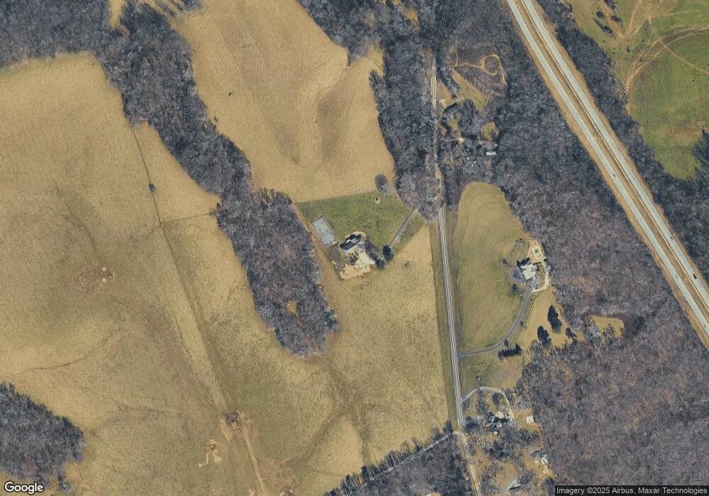
Map
Nearby Homes
- 441 Expressway
- 192 Stonington Dr
- 268 Northwoods Dr
- 0 S Highway 365 Unit 10006827
- 315 Glade Rock Springs Rd
- 123 Talmadge Dr
- 2207 Blacksnake Rd
- 1605 Cody Rd
- 1116 Cody Rd
- 372 Abbington Way
- 0 Gladston Rd
- 281 Abbington Way
- 849 Blacksnake Rd
- 278 Oakwood Place
- 2171 Hollywood Hwy
- 0 Buckhorn Rd Unit 10556339
- 339 Ben Loudermilk Rd
- 222 N Mize Rd
- 281 Grindstone Creek Dr
- 309 Morning Star Ln