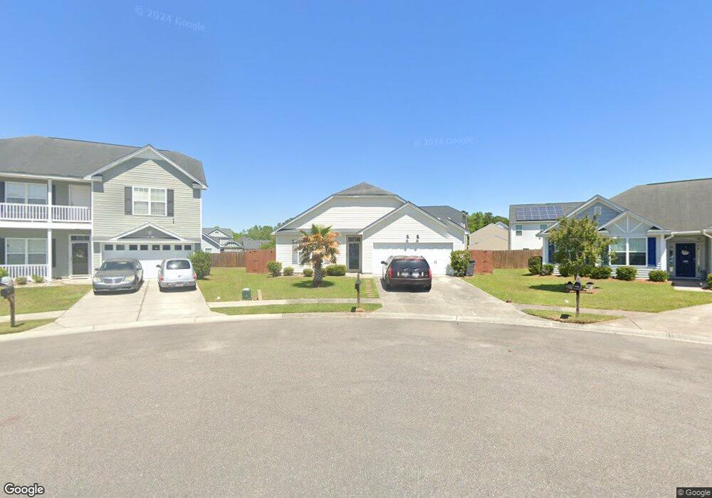
7750 Desoto Dr North Charleston, SC 29420
Woodstock NeighborhoodEstimated Value: $334,000 - $370,000
3
Beds
2
Baths
1,573
Sq Ft
$222/Sq Ft
Est. Value
About This Home
This home is located at 7750 Desoto Dr, North Charleston, SC 29420 and is currently estimated at $348,491, approximately $221 per square foot. 7750 Desoto Dr is a home located in Charleston County with nearby schools including Pepperhill Elementary School, Northwoods Middle, and R.B. Stall High School.
Ownership History
Date
Name
Owned For
Owner Type
Purchase Details
Closed on
Sep 28, 2007
Sold by
Capitol City Homes Of Charleston Inc
Bought by
Green Brenda L
Current Estimated Value
Home Financials for this Owner
Home Financials are based on the most recent Mortgage that was taken out on this home.
Original Mortgage
$2,000
Interest Rate
6.41%
Mortgage Type
Stand Alone Second
Purchase Details
Closed on
Apr 11, 2007
Sold by
Four M Family Lp
Bought by
Capitol City Homes Of Charleston Inc
Create a Home Valuation Report for This Property
The Home Valuation Report is an in-depth analysis detailing your home's value as well as a comparison with similar homes in the area
Home Values in the Area
Average Home Value in this Area
Purchase History
| Date | Buyer | Sale Price | Title Company |
|---|---|---|---|
| Green Brenda L | $176,900 | Attorney | |
| Capitol City Homes Of Charleston Inc | $1,230,000 | None Available |
Source: Public Records
Mortgage History
| Date | Status | Borrower | Loan Amount |
|---|---|---|---|
| Closed | Green Brenda L | $2,000 | |
| Open | Green Brenda L | $171,593 |
Source: Public Records
Tax History Compared to Growth
Tax History
| Year | Tax Paid | Tax Assessment Tax Assessment Total Assessment is a certain percentage of the fair market value that is determined by local assessors to be the total taxable value of land and additions on the property. | Land | Improvement |
|---|---|---|---|---|
| 2024 | $1,169 | $7,200 | $0 | $0 |
| 2023 | $1,169 | $7,200 | $0 | $0 |
| 2022 | $1,111 | $7,200 | $0 | $0 |
| 2021 | $1,154 | $7,200 | $0 | $0 |
| 2020 | $1,183 | $7,200 | $0 | $0 |
| 2019 | $1,052 | $6,260 | $0 | $0 |
| 2017 | $986 | $6,260 | $0 | $0 |
| 2016 | $954 | $6,260 | $0 | $0 |
| 2015 | $997 | $6,260 | $0 | $0 |
| 2014 | $922 | $0 | $0 | $0 |
| 2011 | -- | $0 | $0 | $0 |
Source: Public Records
Map
Nearby Homes
- 7759 Discovery Rd
- 2705 Oak Leaf Dr
- 2920 Newport Place
- 2831 Chicopee Dr
- 2957 Newport Place
- 8038 Kittery Ave
- 8004 Malden Ave
- 3072 Nantuckett Ave
- 8020 Nantuckett Ave
- 8016 Hyannis Ct
- 7629 Crossgate Blvd
- 7638 Lady St
- 7629 Pinehurst St
- 7674 Chippendale Rd
- 7608 Crossgate Blvd
- 7640 Hillview Ln
- 8074 Long Shadow Ln
- 7954 Long Shadow Ln
- 3004 Nantuckett Ave
- 7640 Midwood Dr
- 7748 Desoto Dr
- 7752 Desoto Dr
- 7754 Desoto Dr
- 7765 Discovery Rd
- 7767 Discovery Rd
- 7769 Discovery Rd
- 7746 Desoto Dr
- 7763 Discovery Rd
- 7756 Desoto Dr
- 7744 Desoto Dr
- 7763 Desoto Dr
- 7765 Desoto Dr
- 7742 Desoto Dr
- 7761 Desoto Dr
- 7761 Discovery Rd
- 7767 Desoto Dr
- 7757 Discovery Rd
- 7759 Desoto Dr
- 7780 Discovery Rd
- 7778 Discovery Rd