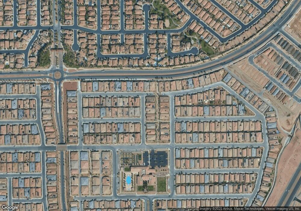
776 Rocky Nook St Henderson, NV 89011
Cadence NeighborhoodEstimated Value: $689,478 - $761,000
3
Beds
3
Baths
2,872
Sq Ft
$252/Sq Ft
Est. Value
About This Home
This home is located at 776 Rocky Nook St, Henderson, NV 89011 and is currently estimated at $723,620, approximately $251 per square foot. 776 Rocky Nook St is a home with nearby schools including C T Sewell Elementary School, B Mahlon Brown Academy of International Studies, and Basic Academy of International Studies.
Ownership History
Date
Name
Owned For
Owner Type
Purchase Details
Closed on
Jan 9, 2024
Sold by
West James Edward and West Debra Ann
Bought by
James And Debra West Family Trust and West
Current Estimated Value
Purchase Details
Closed on
Sep 26, 2018
Sold by
Greystone Nevada Llc
Bought by
West James Edward and West Debra Ann
Home Financials for this Owner
Home Financials are based on the most recent Mortgage that was taken out on this home.
Original Mortgage
$477,025
Interest Rate
4.5%
Mortgage Type
VA
Create a Home Valuation Report for This Property
The Home Valuation Report is an in-depth analysis detailing your home's value as well as a comparison with similar homes in the area
Home Values in the Area
Average Home Value in this Area
Purchase History
| Date | Buyer | Sale Price | Title Company |
|---|---|---|---|
| James And Debra West Family Trust | -- | None Listed On Document | |
| West James Edward | $513,197 | North American Title Nv L |
Source: Public Records
Mortgage History
| Date | Status | Borrower | Loan Amount |
|---|---|---|---|
| Previous Owner | West James Edward | $477,025 |
Source: Public Records
Tax History Compared to Growth
Tax History
| Year | Tax Paid | Tax Assessment Tax Assessment Total Assessment is a certain percentage of the fair market value that is determined by local assessors to be the total taxable value of land and additions on the property. | Land | Improvement |
|---|---|---|---|---|
| 2025 | $4,181 | $237,051 | $55,650 | $181,401 |
| 2024 | $4,905 | $237,051 | $55,650 | $181,401 |
| 2023 | $4,905 | $223,514 | $54,250 | $169,264 |
| 2022 | $4,762 | $198,492 | $44,800 | $153,692 |
| 2021 | $4,622 | $188,252 | $43,050 | $145,202 |
| 2020 | $4,483 | $177,331 | $41,300 | $136,031 |
| 2019 | $4,352 | $171,365 | $38,150 | $133,215 |
| 2018 | $572 | $32,032 | $28,700 | $3,332 |
| 2017 | $899 | $27,650 | $27,650 | $0 |
| 2016 | $510 | $17,500 | $17,500 | $0 |
Source: Public Records
Map
Nearby Homes
- 768 Rocky Nook St
- 755 Merry Maple St
- 400 Middlestone Ave
- 512 Heritage Bridge Ave
- 738 Purple Knoll Walk
- 461 Open Hill Ave
- 429 Open Hill Ave
- 723 Orange Plume Walk
- 800 Rosewater Dr
- 519 Via Garofano Ave
- 417 Honeybrush Ave
- 517 Open Hill Ave
- 1045 Via Saint Andrea Place
- 625 Viale MacHiavelli Ln
- 732 Rosewater Dr
- 1015 Via Nandina Place
- 676 Otter Brook St
- 692 Dorsey Falls St
- 653 Viale MacHiavelli Ln
- 316 Gillespie Glen Ave
- 772 Rocky Nook St
- 780 Rocky Nook St
- 437 Middlestone Ave
- 775 Merry Maple St
- 436 Lake Run Ave
- 771 Merry Maple St
- 779 Merry Maple St
- 767 Merry Maple St
- 448 Middlestone Ave
- 444 Middlestone Ave
- 433 Middlestone Ave
- 432 Lake Run Ave
- 440 Middlestone Ave
- 764 Rocky Nook St
- 452 Sunrise Breeze Ave
- 436 Middlestone Ave
- 429 Middlestone Ave
- 456 Sunrise Breeze Ave
- 428 Lake Run Ave
- 759 Merry Maple St
