777 Wainscott Rd Sadler, TX 76264
Estimated Value: $360,761 - $452,000
--
Bed
--
Bath
1,500
Sq Ft
$271/Sq Ft
Est. Value
About This Home
This home is located at 777 Wainscott Rd, Sadler, TX 76264 and is currently estimated at $406,381, approximately $270 per square foot. 777 Wainscott Rd is a home with nearby schools including S&S Consolidated Elementary School, S&S Consolidated Middle School, and S. & S. Cons H.S..
Ownership History
Date
Name
Owned For
Owner Type
Purchase Details
Closed on
Feb 17, 2006
Sold by
Benson Sandra D
Bought by
Benson Shane M and Williams Kasie L
Current Estimated Value
Home Financials for this Owner
Home Financials are based on the most recent Mortgage that was taken out on this home.
Original Mortgage
$53,526
Outstanding Balance
$1,917
Interest Rate
6.19%
Mortgage Type
Purchase Money Mortgage
Estimated Equity
$404,464
Create a Home Valuation Report for This Property
The Home Valuation Report is an in-depth analysis detailing your home's value as well as a comparison with similar homes in the area
Home Values in the Area
Average Home Value in this Area
Purchase History
| Date | Buyer | Sale Price | Title Company |
|---|---|---|---|
| Benson Shane M | -- | Chapin Title Co Inc |
Source: Public Records
Mortgage History
| Date | Status | Borrower | Loan Amount |
|---|---|---|---|
| Open | Benson Shane M | $53,526 |
Source: Public Records
Tax History Compared to Growth
Tax History
| Year | Tax Paid | Tax Assessment Tax Assessment Total Assessment is a certain percentage of the fair market value that is determined by local assessors to be the total taxable value of land and additions on the property. | Land | Improvement |
|---|---|---|---|---|
| 2025 | $3,957 | $343,414 | $121,875 | $221,539 |
| 2024 | $5,208 | $349,727 | $115,625 | $234,102 |
| 2023 | $3,714 | $332,327 | $131,250 | $201,077 |
| 2022 | $5,320 | $317,102 | $102,688 | $214,414 |
| 2021 | $2,140 | $112,819 | $46,250 | $66,569 |
| 2020 | $1,191 | $60,896 | $46,250 | $14,646 |
| 2019 | $1,562 | $73,656 | $34,375 | $39,281 |
| 2018 | $1,730 | $89,100 | $34,375 | $54,725 |
| 2017 | $1,630 | $83,387 | $29,063 | $54,324 |
| 2016 | $1,530 | $78,284 | $26,563 | $51,721 |
| 2015 | $0 | $67,491 | $26,563 | $40,928 |
| 2014 | -- | $58,622 | $20,313 | $38,309 |
Source: Public Records
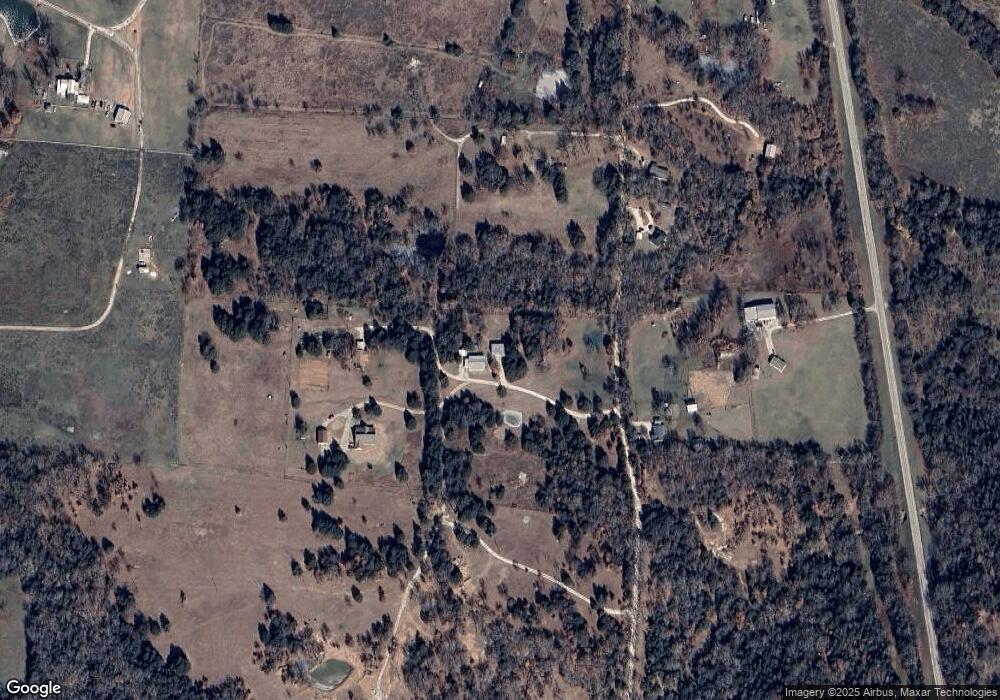
Map
Nearby Homes
- Tract 5 Gilbreath Rd
- Tract 4 Gilbreath Rd
- Tract 2 Gilbreath Rd
- Tract 8 Gilbreath Rd
- Tract 6 Gilbreath Rd
- 11 Acres Tract 4 Unit Gilbreath Road Sad
- Tract 2 Gilbreath Rd
- 1101 Brooks Ln
- 192 Brooks Ln
- TBD Farm To Market Road 901
- 2242 Dixie Rd
- 693 Gilbreath Rd
- TBD Brooks Ln
- 1130 Brooks Ln
- 1761 Brooks Ln
- 3138 Scarbrough Rd
- 664 Earl Rd
- 527 Copperas Rd
- 1484 Dixie Estates Way
- 2290 Brooks Ln
- 221 Benson Ln
- 289 Benson Ln
- 769 Wainscott Rd
- 941 Wainscott Rd
- 902 Wainscott Rd
- TBD Wainscott Rd
- Lot 10 Farm To Market Road 901
- 1090 Crawford Rd
- 1044 Crawford Rd
- 12+ AC Farm To Market Road 901
- 17+ Ac Farm To Market Road 901
- 8+ AC Farm To Market Road 901
- 905 Crawford Rd
- 487 Wainscott Rd
- 767 Crawford Rd
- 172 Longhorn Rd
- 12593 Fm 901
- 2017 Crawford Rd
- 12570 Fm 901
- 1780 Gilbreath Rd