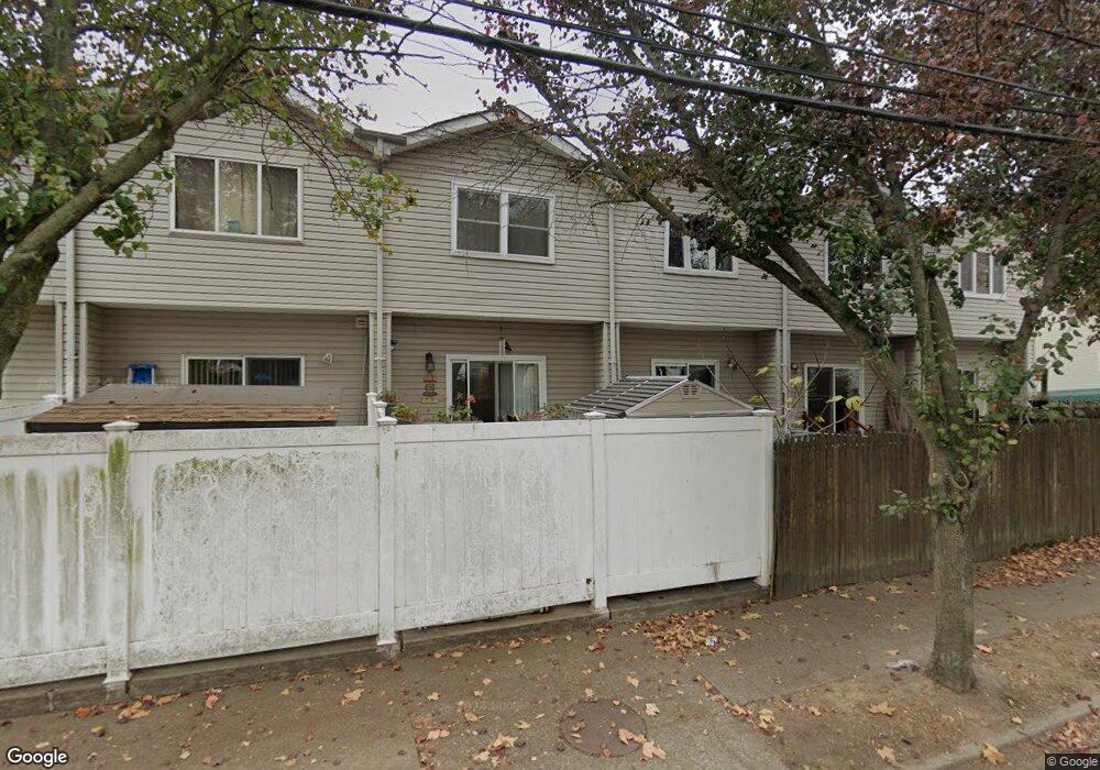
78 Hope Ln Staten Island, NY 10305
Rosebank NeighborhoodEstimated Value: $620,069 - $738,000
--
Bed
4
Baths
1,320
Sq Ft
$520/Sq Ft
Est. Value
About This Home
This home is located at 78 Hope Ln, Staten Island, NY 10305 and is currently estimated at $686,767, approximately $520 per square foot. 78 Hope Ln is a home located in Richmond County with nearby schools including Ps 13 M L Lindenmeyer, I.S. 49 Berta A Dreyfus, and Curtis High School.
Ownership History
Date
Name
Owned For
Owner Type
Purchase Details
Closed on
Jun 24, 2022
Sold by
Mariya Chayka
Bought by
Cmtd Family Irrevocable Trust
Current Estimated Value
Purchase Details
Closed on
May 15, 2000
Sold by
Woodrow Estates North Llc
Bought by
Chayka Feliks and Chayka Mariya
Home Financials for this Owner
Home Financials are based on the most recent Mortgage that was taken out on this home.
Original Mortgage
$147,900
Interest Rate
8.24%
Create a Home Valuation Report for This Property
The Home Valuation Report is an in-depth analysis detailing your home's value as well as a comparison with similar homes in the area
Home Values in the Area
Average Home Value in this Area
Purchase History
| Date | Buyer | Sale Price | Title Company |
|---|---|---|---|
| Cmtd Family Irrevocable Trust | -- | None Listed On Document | |
| Chayka Feliks | $185,000 | Fidelity National Title Ins |
Source: Public Records
Mortgage History
| Date | Status | Borrower | Loan Amount |
|---|---|---|---|
| Previous Owner | Chayka Feliks | $147,900 |
Source: Public Records
Tax History Compared to Growth
Tax History
| Year | Tax Paid | Tax Assessment Tax Assessment Total Assessment is a certain percentage of the fair market value that is determined by local assessors to be the total taxable value of land and additions on the property. | Land | Improvement |
|---|---|---|---|---|
| 2025 | $5,324 | $38,820 | $3,612 | $35,208 |
| 2024 | $5,336 | $34,380 | $3,848 | $30,532 |
| 2023 | $5,383 | $27,907 | $3,834 | $24,073 |
| 2022 | $4,968 | $33,720 | $4,740 | $28,980 |
| 2021 | $5,196 | $32,520 | $4,740 | $27,780 |
| 2020 | $4,986 | $30,840 | $4,740 | $26,100 |
| 2019 | $4,572 | $28,440 | $4,740 | $23,700 |
| 2018 | $4,443 | $23,256 | $4,128 | $19,128 |
| 2017 | $4,405 | $23,080 | $4,383 | $18,697 |
| 2016 | $4,043 | $21,774 | $4,527 | $17,247 |
| 2015 | $3,414 | $20,542 | $4,037 | $16,505 |
| 2014 | $3,414 | $19,380 | $4,080 | $15,300 |
Source: Public Records
Map
Nearby Homes
- 7 Egbert Place
- 756 Tompkins Ave
- 39 Bang Terrace
- 50 Belair Rd Unit 1A
- 50 Belair Rd Unit 1E
- 50 Belair Rd Unit 4I
- 107 Saint Johns Ave
- 135 Saint Johns Ave
- 109 Saint Johns Ave
- 47 High St
- 43 Belair Rd
- 25 Summer St Unit 52
- 136 Lyman Ave Unit 5
- 18 Brown Place
- 20 Brown Place
- 6 New Ln Unit 7B
- 323 Maryland Ave
- 0 Tompkins Ave
- 91 Narrows Rd N Unit C
- 124 North Dr Unit 35