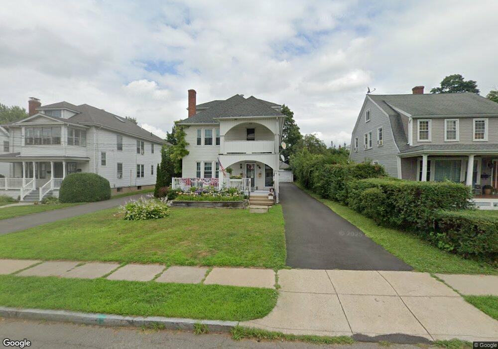
78 Quaker Ln S West Hartford, CT 06119
Estimated Value: $543,000 - $685,817
6
Beds
2
Baths
2,600
Sq Ft
$229/Sq Ft
Est. Value
About This Home
This home is located at 78 Quaker Ln S, West Hartford, CT 06119 and is currently estimated at $595,704, approximately $229 per square foot. 78 Quaker Ln S is a home located in Hartford County with nearby schools including Whiting Lane School, Adams Elementary School, and King Philip Middle School.
Ownership History
Date
Name
Owned For
Owner Type
Purchase Details
Closed on
Dec 3, 2012
Sold by
Rossini Ruth
Bought by
Carrier Michelle
Current Estimated Value
Purchase Details
Closed on
Feb 7, 2011
Sold by
Carrier Michelle
Bought by
Carrier Michelle and Rossini Ruth
Purchase Details
Closed on
Jun 15, 2000
Sold by
Stone Louis
Bought by
Carrier Michelle and Pomerleau Claude
Home Financials for this Owner
Home Financials are based on the most recent Mortgage that was taken out on this home.
Original Mortgage
$181,907
Interest Rate
8.24%
Create a Home Valuation Report for This Property
The Home Valuation Report is an in-depth analysis detailing your home's value as well as a comparison with similar homes in the area
Home Values in the Area
Average Home Value in this Area
Purchase History
| Date | Buyer | Sale Price | Title Company |
|---|---|---|---|
| Carrier Michelle | -- | -- | |
| Carrier Michelle | -- | -- | |
| Carrier Michelle | $182,000 | -- |
Source: Public Records
Mortgage History
| Date | Status | Borrower | Loan Amount |
|---|---|---|---|
| Previous Owner | Carrier Michelle | $181,907 |
Source: Public Records
Tax History Compared to Growth
Tax History
| Year | Tax Paid | Tax Assessment Tax Assessment Total Assessment is a certain percentage of the fair market value that is determined by local assessors to be the total taxable value of land and additions on the property. | Land | Improvement |
|---|---|---|---|---|
| 2025 | $12,076 | $269,670 | $81,300 | $188,370 |
| 2024 | $11,421 | $269,670 | $81,300 | $188,370 |
| 2023 | $11,035 | $269,670 | $81,300 | $188,370 |
| 2022 | $10,970 | $269,670 | $81,300 | $188,370 |
| 2021 | $9,051 | $213,360 | $80,100 | $133,260 |
| 2020 | $8,918 | $213,360 | $68,700 | $144,660 |
| 2019 | $8,918 | $213,360 | $68,740 | $144,620 |
| 2018 | $8,748 | $213,360 | $68,740 | $144,620 |
| 2017 | $8,756 | $213,360 | $68,740 | $144,620 |
| 2016 | $7,384 | $186,900 | $51,240 | $135,660 |
| 2015 | $7,160 | $186,900 | $51,240 | $135,660 |
| 2014 | $6,984 | $186,900 | $51,240 | $135,660 |
Source: Public Records
Map
Nearby Homes
- 16 Lilley Rd
- 30 Outlook Ave Unit 205
- 869 Farmington Ave Unit 305
- 48 Walkley Rd
- 54 Robin Rd Unit B2
- 105 Ardmore Rd
- 1006A Trout Brook Dr Unit 1006A
- 39 Fairlawn St
- 89 Price Blvd
- 237 Fern St Unit 314
- 1110 Trout Brook Dr
- 85 Memorial Rd Unit 512
- 16 Lockwood Terrace
- 102 Oakwood Ave Unit B5
- 50 Acadia St
- 518 Prospect Ave
- 478 Prospect Ave
- 21 Warren Terrace
- 1196 Trout Brook Dr
- 183 Loomis Dr Unit 109
- 74 Quaker Ln S
- 84 Quaker Ln S
- 88 Quaker Ln S
- 72 Quaker Ln S
- 92 Quaker Ln S
- 68 Quaker Ln S
- 81 Maplewood Ave
- 81 Maplewood Ave Unit 3
- 85 Maplewood Ave
- 77 Maplewood Ave
- 77 Maplewood Ave Unit First Floor
- 79 Maplewood Ave
- 77 Quaker Ln S
- 73 Maplewood Ave
- 89 Maplewood Ave
- 89 Maplewood Ave Unit 2
- 89 Maplewood Ave Unit 1
- 75 Quaker Ln S
- 81 Quaker Ln S
- 96 Quaker Ln S