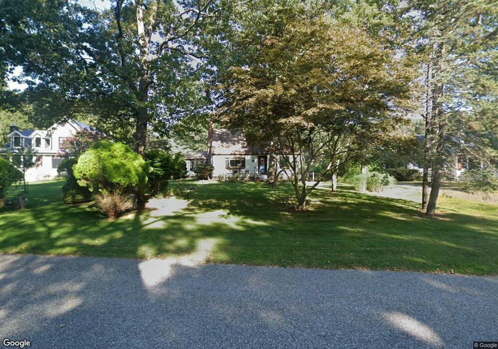
78 Waters Edge Rd Southampton, NY 11968
Estimated Value: $1,120,000 - $1,567,000
4
Beds
2
Baths
1,569
Sq Ft
$843/Sq Ft
Est. Value
About This Home
This home is located at 78 Waters Edge Rd, Southampton, NY 11968 and is currently estimated at $1,321,968, approximately $842 per square foot. 78 Waters Edge Rd is a home located in Suffolk County with nearby schools including Southampton Elementary School, Southampton Intermediate School, and Southampton High School.
Ownership History
Date
Name
Owned For
Owner Type
Purchase Details
Closed on
Jul 12, 2022
Sold by
Marie Sabia Ft and Demauro
Bought by
Jmc Waters Edge Llc
Current Estimated Value
Purchase Details
Closed on
Apr 15, 2015
Sold by
Sabia Marie
Bought by
Demauro Toni and Demauro Julia S
Purchase Details
Closed on
Dec 1, 1997
Sold by
Boyd James and Boyd Dianne
Bought by
Saiba Marie
Purchase Details
Closed on
Jan 29, 1997
Sold by
Camuto Vincent
Bought by
Stein David J and Laibowitz Stein Danielle
Create a Home Valuation Report for This Property
The Home Valuation Report is an in-depth analysis detailing your home's value as well as a comparison with similar homes in the area
Home Values in the Area
Average Home Value in this Area
Purchase History
| Date | Buyer | Sale Price | Title Company |
|---|---|---|---|
| Jmc Waters Edge Llc | $985,000 | Security Title Agency | |
| Demauro Toni | -- | None Available | |
| Saiba Marie | $196,000 | Ati Title Agency | |
| Stein David J | $357,500 | Title Usa Insurance Corp |
Source: Public Records
Tax History Compared to Growth
Tax History
| Year | Tax Paid | Tax Assessment Tax Assessment Total Assessment is a certain percentage of the fair market value that is determined by local assessors to be the total taxable value of land and additions on the property. | Land | Improvement |
|---|---|---|---|---|
| 2024 | -- | $711,100 | $492,800 | $218,300 |
| 2023 | -- | $713,200 | $492,800 | $220,400 |
| 2022 | $2,482 | $716,100 | $492,800 | $223,300 |
| 2021 | $2,482 | $716,100 | $492,800 | $223,300 |
| 2020 | $2,601 | $716,100 | $492,800 | $223,300 |
| 2019 | $2,601 | $0 | $0 | $0 |
| 2018 | -- | $658,100 | $448,000 | $210,100 |
| 2017 | $2,298 | $592,300 | $403,200 | $189,100 |
| 2016 | $2,379 | $592,300 | $403,200 | $189,100 |
| 2015 | -- | $592,300 | $403,200 | $189,100 |
| 2014 | -- | $592,300 | $403,200 | $189,100 |
Source: Public Records
Map
Nearby Homes
- 80 Knoll Rd
- 33 Woods Ln
- 1610 Majors Path
- 1578 Majors Path
- 12 Fish Cove Rd
- 334 Noyack Rd
- 311 Noyack Rd
- 7 Ashwood Ct
- 1205 Majors Path
- 70 Straight Path
- 8 Seaweed Rd
- 67 Straight Path
- 200 Great Hill Rd
- 142 Towd Point Rd
- 70 Cedar Ave
- 42 Locust Ave
- 61 Hidden Cove Ct
- 210 Towd Point Rd
- 45 Old Sag Harbor Rd
- 238 Towd Point Rd