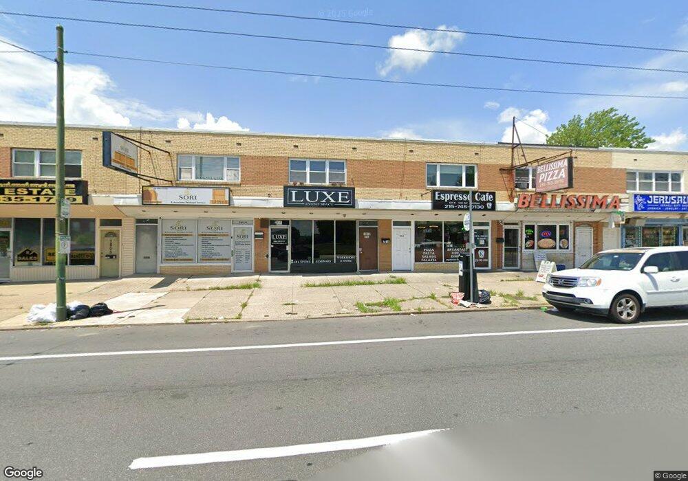
7812 Castor Ave Philadelphia, PA 19152
Rhawnhurst NeighborhoodEstimated Value: $415,947
--
Bed
--
Bath
2,210
Sq Ft
$188/Sq Ft
Est. Value
About This Home
This home is located at 7812 Castor Ave, Philadelphia, PA 19152 and is currently estimated at $415,947, approximately $188 per square foot. 7812 Castor Ave is a home located in Philadelphia County with nearby schools including Rhawnhurst School, Castor Gardens Middle School, and Northeast High School.
Ownership History
Date
Name
Owned For
Owner Type
Purchase Details
Closed on
Jul 13, 2016
Sold by
Gutman B David
Bought by
Neng Yun Llc
Current Estimated Value
Home Financials for this Owner
Home Financials are based on the most recent Mortgage that was taken out on this home.
Original Mortgage
$163,500
Outstanding Balance
$130,354
Interest Rate
3.54%
Mortgage Type
Commercial
Estimated Equity
$279,119
Purchase Details
Closed on
Aug 15, 2002
Sold by
Gutman B David and Ichak Gutman Trust
Bought by
Gutman B David
Create a Home Valuation Report for This Property
The Home Valuation Report is an in-depth analysis detailing your home's value as well as a comparison with similar homes in the area
Home Values in the Area
Average Home Value in this Area
Purchase History
| Date | Buyer | Sale Price | Title Company |
|---|---|---|---|
| Neng Yun Llc | $218,000 | None Available | |
| Gutman B David | -- | -- |
Source: Public Records
Mortgage History
| Date | Status | Borrower | Loan Amount |
|---|---|---|---|
| Open | Neng Yun Llc | $163,500 |
Source: Public Records
Tax History Compared to Growth
Tax History
| Year | Tax Paid | Tax Assessment Tax Assessment Total Assessment is a certain percentage of the fair market value that is determined by local assessors to be the total taxable value of land and additions on the property. | Land | Improvement |
|---|---|---|---|---|
| 2025 | $3,262 | $308,500 | $61,700 | $246,800 |
| 2024 | $3,262 | $308,500 | $61,700 | $246,800 |
| 2023 | $3,262 | $233,000 | $46,600 | $186,400 |
| 2022 | $3,262 | $233,000 | $46,600 | $186,400 |
| 2021 | $3,057 | $0 | $0 | $0 |
| 2020 | $3,057 | $0 | $0 | $0 |
| 2019 | $3,028 | $0 | $0 | $0 |
| 2018 | $2,861 | $0 | $0 | $0 |
| 2017 | $4,073 | $0 | $0 | $0 |
| 2016 | $4,073 | $0 | $0 | $0 |
| 2015 | $3,899 | $0 | $0 | $0 |
| 2014 | -- | $291,000 | $30,164 | $260,836 |
Source: Public Records
Map
Nearby Homes
- 1919 Lansing St
- 2023 Hartel Ave
- 1917 Griffith St
- 7912 14 Loretto Ave
- 1826 Hartel Ave
- 1834 Lansing St
- 2029 Loney St
- 1807 Napfle Ave
- 1821 Afton St
- 1824 Afton St
- 2120 Napfle St
- 7815 Horrocks St
- 7528 Loretto Ave
- 2123 Loney St
- 1931 33 Rhawn St
- 1805 Faunce St
- 1719 Loney St
- 1858 Glendale Ave
- 1714 Afton St
- 7830 Summerdale Ave
- 7810 Castor Ave
- 7814 Castor Ave
- 7816 Castor Ave
- 1920 Chandler St
- 1929 Hartel Ave
- 1918 Chandler St
- 1927 Hartel Ave
- 1925 Hartel Ave
- 7820 Castor Ave
- 1923 Hartel Ave
- 2001 Hartel Ave
- 1921 Hartel Ave
- 1921 Chandler St
- 1914 Chandler St
- 7718 Castor Ave Unit 2F
- 1919 Hartel Ave
- 1919 Chandler St
- 2005 Hartel Ave
- 1917 Hartel Ave
- 7716 Castor Ave