7816 Brookdale Dr Raleigh, NC 27616
Estimated Value: $320,000 - $422,000
--
Bed
2
Baths
1,331
Sq Ft
$272/Sq Ft
Est. Value
About This Home
This home is located at 7816 Brookdale Dr, Raleigh, NC 27616 and is currently estimated at $361,649, approximately $271 per square foot. 7816 Brookdale Dr is a home located in Wake County with nearby schools including Harris Creek Elementary School, Rolesville Middle School, and Rolesville High School.
Ownership History
Date
Name
Owned For
Owner Type
Purchase Details
Closed on
Feb 19, 1998
Sold by
Loveless Michael R
Bought by
Vaysse Jean Louis Hu and Vaysse Patricia
Current Estimated Value
Home Financials for this Owner
Home Financials are based on the most recent Mortgage that was taken out on this home.
Original Mortgage
$123,466
Outstanding Balance
$21,585
Interest Rate
6.86%
Mortgage Type
FHA
Estimated Equity
$340,064
Create a Home Valuation Report for This Property
The Home Valuation Report is an in-depth analysis detailing your home's value as well as a comparison with similar homes in the area
Home Values in the Area
Average Home Value in this Area
Purchase History
| Date | Buyer | Sale Price | Title Company |
|---|---|---|---|
| Vaysse Jean Louis Hu | $124,000 | -- |
Source: Public Records
Mortgage History
| Date | Status | Borrower | Loan Amount |
|---|---|---|---|
| Open | Vaysse Jean Louis Hu | $123,466 |
Source: Public Records
Tax History Compared to Growth
Tax History
| Year | Tax Paid | Tax Assessment Tax Assessment Total Assessment is a certain percentage of the fair market value that is determined by local assessors to be the total taxable value of land and additions on the property. | Land | Improvement |
|---|---|---|---|---|
| 2025 | $2,046 | $316,760 | $120,000 | $196,760 |
| 2024 | $1,987 | $316,760 | $120,000 | $196,760 |
| 2023 | $1,809 | $229,428 | $48,000 | $181,428 |
| 2022 | $1,677 | $229,428 | $48,000 | $181,428 |
| 2021 | $1,632 | $229,428 | $48,000 | $181,428 |
| 2020 | $1,605 | $229,428 | $48,000 | $181,428 |
| 2019 | $1,536 | $185,624 | $56,000 | $129,624 |
| 2018 | $1,413 | $185,624 | $56,000 | $129,624 |
| 2017 | $1,340 | $185,624 | $56,000 | $129,624 |
| 2016 | $1,313 | $185,624 | $56,000 | $129,624 |
| 2015 | $1,169 | $165,447 | $46,000 | $119,447 |
| 2014 | -- | $165,447 | $46,000 | $119,447 |
Source: Public Records
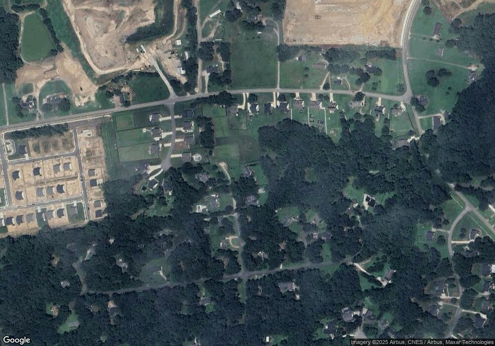
Map
Nearby Homes
- 7728 Wakebrook Dr
- 1424 Old Watkins Rd
- 4400 Stengel St Unit 46
- 1321 Dimaggio Dr Unit 64
- 1321 Dimaggio Dr
- 1317 Dimaggio Dr Unit 65
- 1316 Kubek Way Unit 62
- 1316 Kubek Way
- 1313 Dimaggio Dr
- 1313 Dimaggio Dr Unit 66
- 1305 Dimaggio Dr Unit 68
- 1305 Dimaggio Dr
- 4313 Laurel Pond Way
- 4301 Laurel Pond Way
- Mayflower III Plan at Everlee - Summit Collection
- Carson II Plan at Everlee - Designer Collection
- 4351 Laurel Pond Way
- 4331 Laurel Pond Way
- Clayton III Plan at Everlee - Summit Collection
- 4325 Laurel Pond Way
- 7812 Brookdale Dr
- 7808 Brookdale Dr
- 3008 New Watkins Ln
- 7813 Brookdale Dr
- 7817 Brookdale Dr
- 6005 Chelray Ct
- 3004 New Watkins Ln
- 7809 Brookdale Dr
- 7804 Brookdale Dr
- 3012 New Watkins Ln
- 1504 Old Watkins Rd
- 6004 Chelray Ct
- 1428 Old Watkins Rd
- 1432 Old Watkins Rd
- 7805 Brookdale Dr
- 1500 Old Watkins Rd
- 7805 Wakebrook Dr
- 7801 Wakebrook Dr
- 3016 New Watkins Ln
- 6004 Harvest Ct