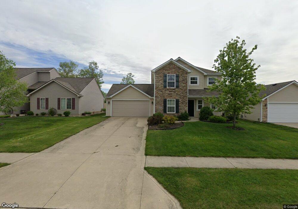
7820 Lila Way Fort Wayne, IN 46835
Northeast Fort Wayne NeighborhoodEstimated Value: $288,604 - $325,000
3
Beds
3
Baths
1,855
Sq Ft
$165/Sq Ft
Est. Value
About This Home
This home is located at 7820 Lila Way, Fort Wayne, IN 46835 and is currently estimated at $305,401, approximately $164 per square foot. 7820 Lila Way is a home located in Allen County with nearby schools including Arlington Elementary School, Jefferson Middle School, and Northrop High School.
Ownership History
Date
Name
Owned For
Owner Type
Purchase Details
Closed on
Oct 27, 2011
Sold by
Lancia Homes Inc
Bought by
Henry Jeanne M
Current Estimated Value
Home Financials for this Owner
Home Financials are based on the most recent Mortgage that was taken out on this home.
Original Mortgage
$143,273
Outstanding Balance
$14,357
Interest Rate
3.87%
Mortgage Type
FHA
Estimated Equity
$291,044
Purchase Details
Closed on
Feb 28, 2008
Sold by
Sbb Development Corp
Bought by
Springmill Woods Development Llc
Create a Home Valuation Report for This Property
The Home Valuation Report is an in-depth analysis detailing your home's value as well as a comparison with similar homes in the area
Home Values in the Area
Average Home Value in this Area
Purchase History
| Date | Buyer | Sale Price | Title Company |
|---|---|---|---|
| Henry Jeanne M | -- | None Available | |
| Lancia Homes Inc | -- | None Available | |
| Springmill Woods Development Llc | -- | Titan Title Services Llc |
Source: Public Records
Mortgage History
| Date | Status | Borrower | Loan Amount |
|---|---|---|---|
| Open | Henry Jeanne M | $143,273 |
Source: Public Records
Tax History Compared to Growth
Tax History
| Year | Tax Paid | Tax Assessment Tax Assessment Total Assessment is a certain percentage of the fair market value that is determined by local assessors to be the total taxable value of land and additions on the property. | Land | Improvement |
|---|---|---|---|---|
| 2024 | $1,689 | $253,500 | $35,600 | $217,900 |
| 2023 | $1,689 | $252,500 | $35,600 | $216,900 |
| 2022 | $1,572 | $219,300 | $35,600 | $183,700 |
| 2021 | $1,339 | $187,700 | $48,100 | $139,600 |
| 2020 | $1,340 | $184,700 | $48,100 | $136,600 |
| 2019 | $1,226 | $168,700 | $48,100 | $120,600 |
| 2018 | $1,239 | $168,300 | $21,700 | $146,600 |
| 2017 | $1,172 | $156,700 | $21,700 | $135,000 |
| 2016 | $1,075 | $146,100 | $21,700 | $124,400 |
| 2014 | $980 | $138,600 | $21,700 | $116,900 |
| 2013 | $930 | $135,200 | $21,700 | $113,500 |
Source: Public Records
Map
Nearby Homes
- 10205 Battle Run Way
- 7779 Tumnus Trail
- 7755 Tumnus Trail
- 7746 Tumnus Trail Unit 70
- 7695 Accio Cove
- 7920 Wethersfield Cove
- 10328 Fieldlight Blvd
- 10255 Tirian Place
- 10249 Tirian Place
- 10299 Tirian Place
- 10263 Tirian Place
- 7920 Welland Ct
- 10354 Cottage Park Cove
- Harmony Plan at Trader's Trace
- Stamford Plan at Trader's Trace
- Bellamy Plan at Trader's Trace
- Taylor Plan at Trader's Trace
- Henley Plan at Trader's Trace
- Freeport Plan at Trader's Trace
- Chatham Plan at Trader's Trace