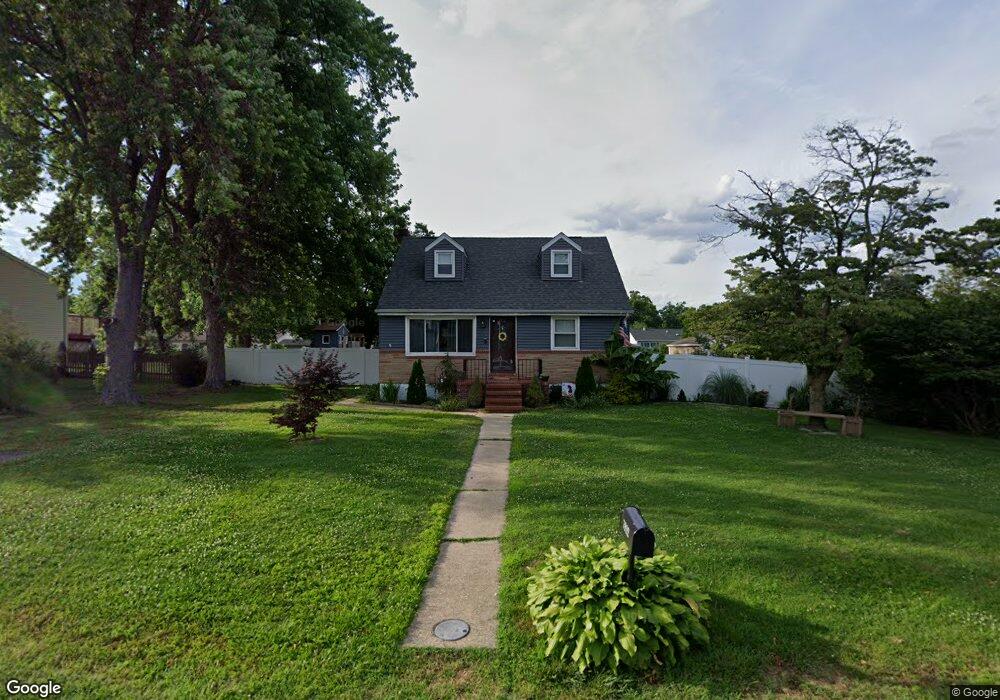
7822 N Cove Rd Sparrows Point, MD 21219
Estimated Value: $330,357 - $390,000
--
Bed
1
Bath
1,350
Sq Ft
$267/Sq Ft
Est. Value
About This Home
This home is located at 7822 N Cove Rd, Sparrows Point, MD 21219 and is currently estimated at $360,339, approximately $266 per square foot. 7822 N Cove Rd is a home located in Baltimore County with nearby schools including Chesapeake Terrace Elementary School, Sparrows Point Middle School, and Sparrows Point High School.
Ownership History
Date
Name
Owned For
Owner Type
Purchase Details
Closed on
Mar 31, 2017
Sold by
Gunther Janet Marie
Bought by
Kuser John E and Kuser Elizabeth A
Current Estimated Value
Home Financials for this Owner
Home Financials are based on the most recent Mortgage that was taken out on this home.
Original Mortgage
$225,834
Outstanding Balance
$185,513
Interest Rate
3.75%
Mortgage Type
FHA
Estimated Equity
$174,826
Purchase Details
Closed on
Jun 13, 2000
Sold by
Gunther Stanley R
Bought by
Gunther Stanley R and Gunther Anna M
Create a Home Valuation Report for This Property
The Home Valuation Report is an in-depth analysis detailing your home's value as well as a comparison with similar homes in the area
Home Values in the Area
Average Home Value in this Area
Purchase History
| Date | Buyer | Sale Price | Title Company |
|---|---|---|---|
| Kuser John E | $230,000 | Perfecton Title Ltd | |
| Gunther Stanley R | -- | -- |
Source: Public Records
Mortgage History
| Date | Status | Borrower | Loan Amount |
|---|---|---|---|
| Open | Kuser John E | $225,834 |
Source: Public Records
Tax History Compared to Growth
Tax History
| Year | Tax Paid | Tax Assessment Tax Assessment Total Assessment is a certain percentage of the fair market value that is determined by local assessors to be the total taxable value of land and additions on the property. | Land | Improvement |
|---|---|---|---|---|
| 2025 | $4,043 | $277,667 | -- | -- |
| 2024 | $4,043 | $258,433 | $0 | $0 |
| 2023 | $1,881 | $239,200 | $75,600 | $163,600 |
| 2022 | $3,643 | $222,300 | $0 | $0 |
| 2021 | $3,290 | $205,400 | $0 | $0 |
| 2020 | $3,290 | $188,500 | $75,600 | $112,900 |
| 2019 | $2,979 | $182,567 | $0 | $0 |
| 2018 | $2,980 | $176,633 | $0 | $0 |
| 2017 | $2,743 | $170,700 | $0 | $0 |
| 2016 | $2,268 | $168,033 | $0 | $0 |
| 2015 | $2,268 | $165,367 | $0 | $0 |
| 2014 | $2,268 | $162,700 | $0 | $0 |
Source: Public Records
Map
Nearby Homes
- 2409 Woodridge Rd
- 7708 S Cove Rd
- 2322 Lodge Forest Dr
- 2217 Lodge Farm Rd
- 2408 Lodge Farm Rd
- 0 Lodge Farm Rd
- 8610 Oak Rd
- 2122 Lodge Forest Dr
- 2400 Lincoln Ave Unit 2
- 2400 Lincoln Ave Unit 15
- 2924 Waterfront Way
- 2918 Waterfront Way
- 28 Shore Rd
- 8111 Dogwood Rd
- 7349 Hughes Ave
- 7428 Bay Front Rd
- 7340 Hughes Ave
- 2424 Suncrest Rd
- 2542 Sycamore Ave
- 2703 Sparrows Point Rd