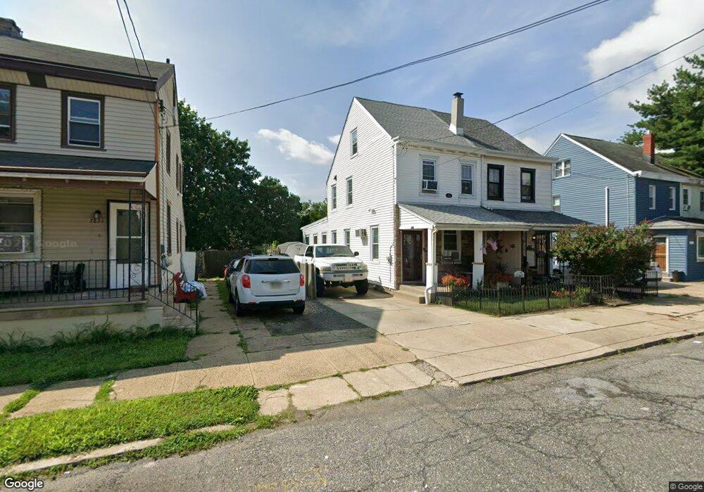
7829 Craig St Philadelphia, PA 19136
Mayfair NeighborhoodEstimated Value: $179,000 - $221,000
--
Bed
--
Bath
900
Sq Ft
$221/Sq Ft
Est. Value
About This Home
This home is located at 7829 Craig St, Philadelphia, PA 19136 and is currently estimated at $198,457, approximately $220 per square foot. 7829 Craig St is a home located in Philadelphia County with nearby schools including Lincoln High School, Meehan Austin Middle School, and Northeast Community Propel Academy.
Ownership History
Date
Name
Owned For
Owner Type
Purchase Details
Closed on
Apr 28, 2006
Sold by
Carpitella E J D
Bought by
Nusky James W and Nusky Adriane
Current Estimated Value
Home Financials for this Owner
Home Financials are based on the most recent Mortgage that was taken out on this home.
Original Mortgage
$80,000
Outstanding Balance
$53,243
Interest Rate
9.17%
Mortgage Type
Purchase Money Mortgage
Estimated Equity
$145,214
Create a Home Valuation Report for This Property
The Home Valuation Report is an in-depth analysis detailing your home's value as well as a comparison with similar homes in the area
Home Values in the Area
Average Home Value in this Area
Purchase History
| Date | Buyer | Sale Price | Title Company |
|---|---|---|---|
| Nusky James W | $100,000 | None Available |
Source: Public Records
Mortgage History
| Date | Status | Borrower | Loan Amount |
|---|---|---|---|
| Open | Nusky James W | $80,000 |
Source: Public Records
Tax History Compared to Growth
Tax History
| Year | Tax Paid | Tax Assessment Tax Assessment Total Assessment is a certain percentage of the fair market value that is determined by local assessors to be the total taxable value of land and additions on the property. | Land | Improvement |
|---|---|---|---|---|
| 2025 | $2,107 | $180,500 | $36,100 | $144,400 |
| 2024 | $2,107 | $180,500 | $36,100 | $144,400 |
| 2023 | $2,107 | $150,500 | $30,100 | $120,400 |
| 2022 | $1,677 | $105,500 | $30,100 | $75,400 |
| 2021 | $2,307 | $0 | $0 | $0 |
| 2020 | $2,307 | $0 | $0 | $0 |
| 2019 | $2,100 | $0 | $0 | $0 |
| 2018 | $1,988 | $0 | $0 | $0 |
| 2017 | $1,988 | $0 | $0 | $0 |
| 2016 | $1,568 | $0 | $0 | $0 |
| 2015 | $1,501 | $0 | $0 | $0 |
| 2014 | -- | $142,000 | $63,628 | $78,372 |
| 2012 | -- | $14,496 | $2,845 | $11,651 |
Source: Public Records
Map
Nearby Homes
- 3520 Ashville St
- 3515 Ashville St
- 4016 Decatur St
- 3438 Decatur St
- 3556 Meridian St
- 3414 Hartel Ave
- 4203 Hartel Ave
- 8053 Charles St
- 8011 Crispin St
- 4228 Rhawn St
- 4228 Hartel Ave
- 4224 Chippendale Ave
- 3405 Sheffield St
- 3528 Chippendale Ave
- 3324 Lansing St
- 4011 Marple St
- 3557 Oakmont St
- 3411 Chippendale Ave
- 8056 Erdrick St
- 4243 Chippendale St