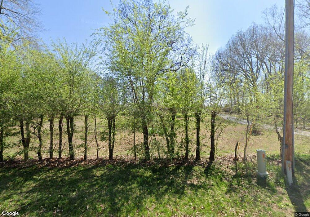
784 D Sain Rd Manchester, TN 37355
Estimated Value: $311,000 - $354,000
--
Bed
1
Bath
2,283
Sq Ft
$144/Sq Ft
Est. Value
About This Home
This home is located at 784 D Sain Rd, Manchester, TN 37355 and is currently estimated at $329,270, approximately $144 per square foot. 784 D Sain Rd is a home located in Coffee County with nearby schools including East Coffee Elementary School, Coffee County Middle School, and Coffee County Central High School.
Ownership History
Date
Name
Owned For
Owner Type
Purchase Details
Closed on
Feb 14, 2002
Sold by
Gilliam Wyman M and Gilliam Melody B
Bought by
Jacobs John William
Current Estimated Value
Purchase Details
Closed on
Sep 8, 1998
Sold by
Nichols Hollis L
Bought by
Gilliam Melody B and Gilliam Wyman
Purchase Details
Closed on
May 31, 1989
Bought by
Nichols Hollis L and Nichols Jean M
Purchase Details
Closed on
Apr 27, 1984
Bought by
Hendrixson Donald J and Hendrixson Donna
Create a Home Valuation Report for This Property
The Home Valuation Report is an in-depth analysis detailing your home's value as well as a comparison with similar homes in the area
Home Values in the Area
Average Home Value in this Area
Purchase History
| Date | Buyer | Sale Price | Title Company |
|---|---|---|---|
| Jacobs John William | $90,000 | -- | |
| Gilliam Melody B | $90,000 | -- | |
| Nichols Hollis L | $50,000 | -- | |
| Hendrixson Donald J | $55,000 | -- |
Source: Public Records
Tax History Compared to Growth
Tax History
| Year | Tax Paid | Tax Assessment Tax Assessment Total Assessment is a certain percentage of the fair market value that is determined by local assessors to be the total taxable value of land and additions on the property. | Land | Improvement |
|---|---|---|---|---|
| 2024 | $1,243 | $53,325 | $9,700 | $43,625 |
| 2023 | $1,243 | $53,325 | $0 | $0 |
| 2022 | $1,243 | $53,325 | $9,700 | $43,625 |
| 2021 | $1,208 | $41,200 | $7,500 | $33,700 |
| 2020 | $1,208 | $41,200 | $7,500 | $33,700 |
| 2019 | $1,208 | $41,200 | $7,500 | $33,700 |
| 2018 | $1,208 | $41,200 | $7,500 | $33,700 |
| 2017 | $1,194 | $36,600 | $6,075 | $30,525 |
| 2016 | $829 | $25,400 | $6,075 | $19,325 |
| 2015 | $829 | $25,400 | $6,075 | $19,325 |
| 2014 | $828 | $25,388 | $0 | $0 |
Source: Public Records
Map
Nearby Homes
- 0 Ramsey Rd
- 7807 McMinnville Hwy Unit 7807
- 2498 Sp Anderson Rd
- 667 Pete Sain Rd
- 300 Willow Brook Dr
- 363 Willow Brook Dr
- 0 Pete Sain Rd
- 0 Mcafee E Unit RTC2865293
- 0 Mcafee Rd
- 1037 Mcafee Rd
- 231 Tom Johnson Rd
- 2635 Pete Sain Rd
- 105 Barbara Spears Rd
- 1694 Mcafee Rd
- 967 Mud Creek Rd
- 670 Old McMinnville Hwy
- 837 Circle Dr
- 0 Rock Rd
- 0 Hickerson Rd
- 781 Circle Dr
- 811 D Sain Rd
- 787 D Sain Rd Unit 811
- 787 D Sain Rd
- 127 Ramsey Rd
- 70 Ramsey Rd
- 152 Ramsey Rd
- 218 Ramsey Rd
- 201 Ramsey Rd
- 224 Ramsey Rd
- 224 Ramsey Rd
- 108 New Town Loop
- 61 Deer Path Ct
- 175 Cave Circle Dr
- 223 Cave Circle Dr
- 106 Cave Circle Dr
- 299 Cave Circle Dr
- 82 Cave Circle Dr
- 144 New Town Loop
- 315 Cave Circle Dr
- 93 New Town Loop
