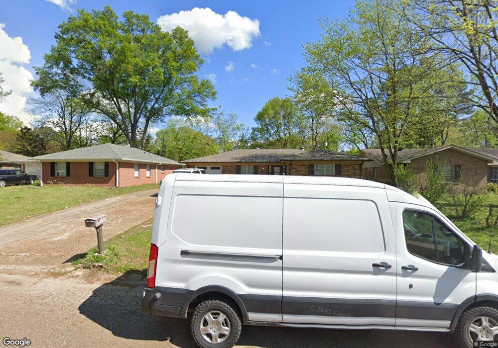
7850 Brentwood Dr Southaven, MS 38671
Estimated Value: $227,000 - $359,000
4
Beds
3
Baths
1,996
Sq Ft
$139/Sq Ft
Est. Value
About This Home
This home is located at 7850 Brentwood Dr, Southaven, MS 38671 and is currently estimated at $278,096, approximately $139 per square foot. 7850 Brentwood Dr is a home located in DeSoto County with nearby schools including Hope Sullivan Elementary School, Southaven Intermediate School, and Southaven Middle School.
Ownership History
Date
Name
Owned For
Owner Type
Purchase Details
Closed on
Mar 29, 2024
Sold by
Houck Joseph T
Bought by
Sultan Alsnei
Current Estimated Value
Home Financials for this Owner
Home Financials are based on the most recent Mortgage that was taken out on this home.
Original Mortgage
$275,000
Outstanding Balance
$265,529
Interest Rate
6.94%
Mortgage Type
New Conventional
Estimated Equity
$12,567
Create a Home Valuation Report for This Property
The Home Valuation Report is an in-depth analysis detailing your home's value as well as a comparison with similar homes in the area
Home Values in the Area
Average Home Value in this Area
Purchase History
| Date | Buyer | Sale Price | Title Company |
|---|---|---|---|
| Sultan Alsnei | -- | Guardian Title |
Source: Public Records
Mortgage History
| Date | Status | Borrower | Loan Amount |
|---|---|---|---|
| Open | Sultan Alsnei | $275,000 |
Source: Public Records
Tax History Compared to Growth
Tax History
| Year | Tax Paid | Tax Assessment Tax Assessment Total Assessment is a certain percentage of the fair market value that is determined by local assessors to be the total taxable value of land and additions on the property. | Land | Improvement |
|---|---|---|---|---|
| 2024 | $1,345 | $9,240 | $1,500 | $7,740 |
| 2023 | $1,345 | $9,240 | $0 | $0 |
| 2022 | $1,317 | $9,240 | $1,500 | $7,740 |
| 2021 | $1,317 | $9,240 | $1,500 | $7,740 |
| 2020 | $1,229 | $8,621 | $1,500 | $7,121 |
| 2019 | $1,252 | $8,778 | $1,500 | $7,278 |
| 2017 | $1,229 | $15,650 | $8,575 | $7,075 |
| 2016 | $1,229 | $8,575 | $1,500 | $7,075 |
| 2015 | $1,221 | $15,650 | $8,575 | $7,075 |
| 2014 | $929 | $8,575 | $0 | $0 |
| 2013 | $920 | $8,575 | $0 | $0 |
Source: Public Records
Map
Nearby Homes
- 7645 Coral Hills Cove
- 2283 Natchez Cove
- 8147 Charleston Dr
- 1873 Merrimac Cove
- 1776 Brown Cove
- 8376 Cedarcrest Dr E
- 8341 Whitehead Dr
- 1734 Brookhaven Dr
- 8493 Cedarbrush Dr
- 2388 Pappy Ln
- 1821 Tad Cove
- 8505 Southaven Cir W
- 3031 Caitlynn Cir S
- 7135 Hampton Dr
- 7088 Foxhall Dr
- 7685 Davis Pkwy
- 7429 Perrin Ln
- 0 Coventry Dr
- 2848 Normandy Dr
- 6670 Embassy Cir
- 7840 Brentwood Dr
- 7860 Brentwood Dr
- 7830 Brentwood Dr
- 7870 Brentwood Dr
- 7835 Charleston Dr
- 7825 Charleston Dr
- 7847 Charleston Dr
- 7857 Brentwood Dr
- 7869 Brentwood Dr
- 7813 Charleston Dr
- 7820 Brentwood Dr
- 7878 Brentwood Dr
- 7859 Charleston Dr
- 7885 Brentwood Dr
- 7803 Charleston Dr
- 7864 Brentwood Cove
- 7810 Brentwood Dr
- 7835 Brentwood Dr
- 7886 Brentwood Dr
- 7869 Charleston Dr