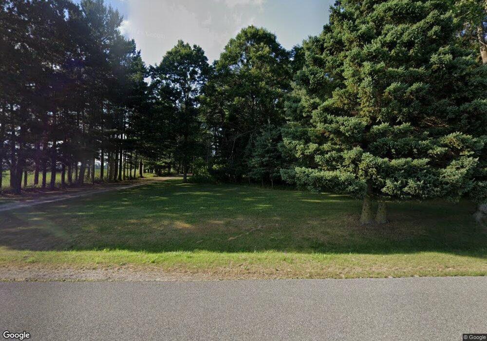
7867 13 Mile Rd NE Rockford, MI 49341
Estimated Value: $435,000 - $694,057
4
Beds
2
Baths
1,661
Sq Ft
$315/Sq Ft
Est. Value
About This Home
This home is located at 7867 13 Mile Rd NE, Rockford, MI 49341 and is currently estimated at $523,352, approximately $315 per square foot. 7867 13 Mile Rd NE is a home located in Kent County with nearby schools including Cedar Trails Elementary School, Red Hawk Intermediate School, and Beach Elementary School.
Ownership History
Date
Name
Owned For
Owner Type
Purchase Details
Closed on
Jan 20, 2023
Sold by
Robertson Nancy
Bought by
Robertson Nancy Catherine
Current Estimated Value
Purchase Details
Closed on
Nov 3, 2004
Sold by
Robertson Nancy C and Robertson Phillip
Bought by
Robertson Phillip and Robertson Nancy
Home Financials for this Owner
Home Financials are based on the most recent Mortgage that was taken out on this home.
Original Mortgage
$61,500
Interest Rate
5.8%
Mortgage Type
New Conventional
Create a Home Valuation Report for This Property
The Home Valuation Report is an in-depth analysis detailing your home's value as well as a comparison with similar homes in the area
Home Values in the Area
Average Home Value in this Area
Purchase History
| Date | Buyer | Sale Price | Title Company |
|---|---|---|---|
| Robertson Nancy Catherine | -- | Land Title | |
| Robertson Phillip | -- | -- |
Source: Public Records
Mortgage History
| Date | Status | Borrower | Loan Amount |
|---|---|---|---|
| Previous Owner | Robertson Phillip | $61,500 |
Source: Public Records
Tax History Compared to Growth
Tax History
| Year | Tax Paid | Tax Assessment Tax Assessment Total Assessment is a certain percentage of the fair market value that is determined by local assessors to be the total taxable value of land and additions on the property. | Land | Improvement |
|---|---|---|---|---|
| 2025 | $2,840 | $284,700 | $0 | $0 |
| 2024 | $2,840 | $225,500 | $0 | $0 |
| 2023 | $2,714 | $220,900 | $0 | $0 |
| 2022 | $3,128 | $157,600 | $0 | $0 |
| 2021 | $3,147 | $146,600 | $0 | $0 |
| 2020 | $2,593 | $138,600 | $0 | $0 |
| 2019 | $2,554 | $139,200 | $0 | $0 |
| 2018 | $3,015 | $133,800 | $0 | $0 |
| 2017 | $2,921 | $117,900 | $0 | $0 |
| 2016 | $2,816 | $115,100 | $0 | $0 |
| 2015 | -- | $115,100 | $0 | $0 |
| 2013 | -- | $105,400 | $0 | $0 |
Source: Public Records
Map
Nearby Homes
- 9975 Young Ave NE
- 7385 14 Mile Rd NE
- 9812 Myers Lake Ave NE
- 8700 Whittall St NE
- 9770 Myers Lake Ave NE
- V/L 13 Mile Rd NE
- 7093 Peninsula Dr NE
- 11035 Shaner Ave NE
- 9188 Whittall St NE
- Lot 4 Shaner Ave NE
- Lot 1 Shaner Ave NE
- Lot 6 Shaner Ave NE
- Lot 3 Shaner Ave NE
- 11900 Shaner Ave NE
- 10280 Tefft Ave NE
- 9555 Whittall St NE
- 5906 Trillium Hills Dr NE
- 5890 Grace Way Dr
- Whitby Plan at Summit Pointe - Cottage Series
- Maplewood Plan at Summit Pointe - Woodland Series
- 7820 13 Mile Rd NE
- 10720 Young Ave NE
- 7564 13 Mile Rd NE
- 11105 Berrigan Ave NE
- 11210 Berrigan Ave NE
- 11250 Berrigan Ave NE
- 7835 Peterson St NE
- 7711 Peterson St NE
- 7735 Peterson St NE
- 7812 Peterson St NE
- 7800 Peterson St NE
- 7824 Peterson St NE
- 7880 Peterson St NE
- 7850 Peterson St NE
- 11300 Berrigan Ave NE
- 11350 Berrigan Ave NE
- 10375 Young Ave NE
- 7890 Peterson St NE
- 7730 Peterson St NE
- 7648 Peterson St NE