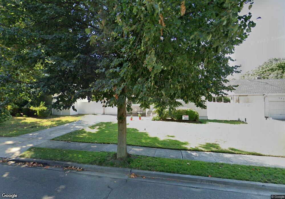
788 Janos Ln West Hempstead, NY 11552
Estimated Value: $660,000 - $679,213
3
Beds
2
Baths
1,150
Sq Ft
$582/Sq Ft
Est. Value
About This Home
This home is located at 788 Janos Ln, West Hempstead, NY 11552 and is currently estimated at $669,607, approximately $582 per square foot. 788 Janos Ln is a home located in Nassau County with nearby schools including Davison Avenue Intermediate School, Maurice W. Downing Primary K-2 School, and Howard T Herber Middle School.
Ownership History
Date
Name
Owned For
Owner Type
Purchase Details
Closed on
Sep 18, 2017
Sold by
Bk Llc
Bought by
Belasse Michelle and Jones Vernon
Current Estimated Value
Home Financials for this Owner
Home Financials are based on the most recent Mortgage that was taken out on this home.
Original Mortgage
$421,229
Outstanding Balance
$356,768
Interest Rate
4.62%
Mortgage Type
FHA
Estimated Equity
$312,839
Purchase Details
Closed on
Jul 10, 2017
Sold by
Bk Llc
Bought by
Bk Llc
Create a Home Valuation Report for This Property
The Home Valuation Report is an in-depth analysis detailing your home's value as well as a comparison with similar homes in the area
Home Values in the Area
Average Home Value in this Area
Purchase History
| Date | Buyer | Sale Price | Title Company |
|---|---|---|---|
| Belasse Michelle | $429,000 | None Available | |
| Bk Llc | -- | Abstracts Incorporated |
Source: Public Records
Mortgage History
| Date | Status | Borrower | Loan Amount |
|---|---|---|---|
| Open | Belasse Michelle | $421,229 |
Source: Public Records
Tax History Compared to Growth
Tax History
| Year | Tax Paid | Tax Assessment Tax Assessment Total Assessment is a certain percentage of the fair market value that is determined by local assessors to be the total taxable value of land and additions on the property. | Land | Improvement |
|---|---|---|---|---|
| 2025 | $12,369 | $419 | $170 | $249 |
| 2024 | $4,215 | $419 | $170 | $249 |
| 2023 | $12,200 | $419 | $170 | $249 |
| 2022 | $12,200 | $418 | $170 | $248 |
| 2021 | $16,688 | $395 | $160 | $235 |
| 2020 | $13,068 | $648 | $432 | $216 |
| 2019 | $4,192 | $648 | $432 | $216 |
| 2018 | $8,012 | $648 | $0 | $0 |
| 2017 | $7,241 | $648 | $432 | $216 |
| 2016 | $11,052 | $648 | $432 | $216 |
| 2015 | $3,567 | $648 | $432 | $216 |
| 2014 | $3,567 | $648 | $432 | $216 |
| 2013 | $3,359 | $648 | $432 | $216 |
Source: Public Records
Map
Nearby Homes
- 55 Melvin Ave
- 815 Sunshine Ave
- 301 Coventry Rd N
- 841 Woodfield Rd
- 312 Coventry Rd S
- 49 Carol St
- 639 Robin Ct
- 5 Juliette Rd
- 647 Jennings Ave
- 450 Rhodes Ln
- 629 Park Ave
- 0 Rhodes Ln
- 596 Lincoln Ave
- 513 Washington Ave
- 486 Champlain Ave
- 394 Pinebrook Ave
- 853 Arthur St
- 1024 Mahopac Rd
- 10 Pinebrook Ave
- 757 Harrison St