788 Mount Moriah Rd Livermore, CO 80536
Estimated Value: $525,155 - $684,000
4
Beds
3
Baths
2,576
Sq Ft
$229/Sq Ft
Est. Value
About This Home
This home is located at 788 Mount Moriah Rd, Livermore, CO 80536 and is currently estimated at $589,539, approximately $228 per square foot. 788 Mount Moriah Rd is a home located in Larimer County with nearby schools including Red Feather Lakes Elementary School, Cache La Poudre Middle School, and Poudre High School.
Ownership History
Date
Name
Owned For
Owner Type
Purchase Details
Closed on
Jul 26, 2005
Sold by
King Terry L and King Sally D
Bought by
Butler David and Butler Tonya M
Current Estimated Value
Home Financials for this Owner
Home Financials are based on the most recent Mortgage that was taken out on this home.
Original Mortgage
$201,760
Outstanding Balance
$102,286
Interest Rate
5.12%
Mortgage Type
Fannie Mae Freddie Mac
Estimated Equity
$487,253
Purchase Details
Closed on
Jun 30, 1998
Sold by
Walker Michael L Melinda J
Bought by
King Terry L and King Sally D
Home Financials for this Owner
Home Financials are based on the most recent Mortgage that was taken out on this home.
Original Mortgage
$142,500
Interest Rate
7.08%
Purchase Details
Closed on
Sep 1, 1994
Sold by
Maxwell Denise
Bought by
Walker Melinda J
Create a Home Valuation Report for This Property
The Home Valuation Report is an in-depth analysis detailing your home's value as well as a comparison with similar homes in the area
Home Values in the Area
Average Home Value in this Area
Purchase History
| Date | Buyer | Sale Price | Title Company |
|---|---|---|---|
| Butler David | $252,200 | Guardian Title | |
| King Terry L | $150,000 | Stewart Title | |
| Walker Melinda J | $23,000 | -- |
Source: Public Records
Mortgage History
| Date | Status | Borrower | Loan Amount |
|---|---|---|---|
| Open | Butler David | $201,760 | |
| Previous Owner | King Terry L | $142,500 |
Source: Public Records
Tax History Compared to Growth
Tax History
| Year | Tax Paid | Tax Assessment Tax Assessment Total Assessment is a certain percentage of the fair market value that is determined by local assessors to be the total taxable value of land and additions on the property. | Land | Improvement |
|---|---|---|---|---|
| 2025 | $3,233 | $36,542 | $7,705 | $28,837 |
| 2024 | $3,080 | $36,542 | $7,705 | $28,837 |
| 2022 | $2,412 | $24,902 | $4,121 | $20,781 |
| 2021 | $2,439 | $25,619 | $4,240 | $21,379 |
| 2020 | $2,155 | $22,437 | $2,503 | $19,934 |
| 2019 | $2,164 | $22,437 | $2,503 | $19,934 |
| 2018 | $1,566 | $17,474 | $2,160 | $15,314 |
| 2017 | $1,560 | $17,474 | $2,160 | $15,314 |
| 2016 | $1,409 | $15,705 | $2,388 | $13,317 |
| 2015 | $1,399 | $15,710 | $2,390 | $13,320 |
| 2014 | $998 | $11,130 | $2,710 | $8,420 |
Source: Public Records
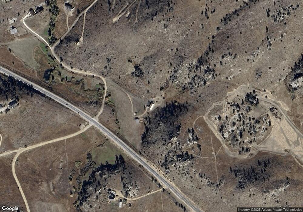
Map
Nearby Homes
- 1388 Mount Moriah Rd
- 1388 Mt Moriah Rd
- 23 E Quandary Ct
- 90 Sunlight Cir
- 609 Eiger Rd
- 117 Mount Sherman Ct
- 679 Mount Massive Dr
- 487 Laplata Dr
- 11881 W County Road 74e
- 556 Bald Mountain Dr
- 816 Meadow Way
- 4092 Green Mountain Dr
- 1737 Eiger Rd
- 81 Humboldt Dr
- 62 White Slide Mountain Ct
- 569 Gordon Ct
- 490 Gordon Ct
- 166 Red Cloud Peak Ct
- 615 Guardian Peak Dr
- 102 Mount Princeton Ct
- 482 Mount Moriah Rd
- 12343 W County Road 74e
- 11990 W County Road 74e
- 545 Mount Moriah Rd
- 302 Simoncrest Dr
- 302 Simoncrest Dr
- 160 Eolus Ct
- 603 Mount Moriah Rd
- 50 Banana Belt Ct
- 385 Mount Moriah Rd
- 100 Mount Moriah Ct
- 63 Culebra Dr
- 62 Banana Belt Ct
- 62 Banana Belt Ct
- 1105 Mount Moriah Rd
- 62 Needle Ct
- 66 Mount Axtell Dr
- 0 Simoncrest Dr Unit 8000079
- 0 Simoncrest Dr Unit 908245
- 0 Simoncrest Dr Unit 9611154