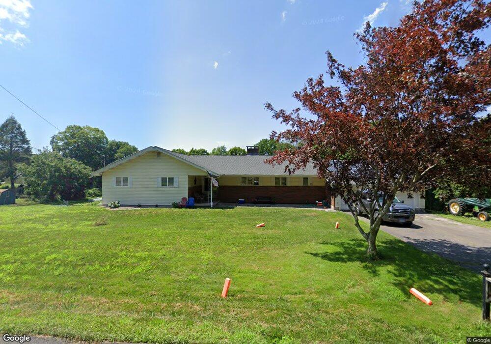
79 High St Higganum, CT 06441
Estimated Value: $414,420 - $532,000
3
Beds
3
Baths
1,721
Sq Ft
$277/Sq Ft
Est. Value
About This Home
This home is located at 79 High St, Higganum, CT 06441 and is currently estimated at $476,105, approximately $276 per square foot. 79 High St is a home located in Middlesex County with nearby schools including Haddam-Killingworth High School.
Ownership History
Date
Name
Owned For
Owner Type
Purchase Details
Closed on
Mar 31, 2023
Sold by
Planeta Carol M
Bought by
Hajek Richard and Hajek Joanne
Current Estimated Value
Purchase Details
Closed on
Sep 30, 2016
Sold by
Planeta Thomas J
Bought by
Planeta Carol M
Purchase Details
Closed on
Jun 29, 1972
Bought by
Planeta Thomas J and Planeta Carol M
Create a Home Valuation Report for This Property
The Home Valuation Report is an in-depth analysis detailing your home's value as well as a comparison with similar homes in the area
Home Values in the Area
Average Home Value in this Area
Purchase History
| Date | Buyer | Sale Price | Title Company |
|---|---|---|---|
| Hajek Richard | -- | None Available | |
| Hajek Richard | -- | None Available | |
| Planeta Carol M | -- | -- | |
| Planeta Carol M | -- | -- | |
| Planeta Thomas J | -- | -- |
Source: Public Records
Mortgage History
| Date | Status | Borrower | Loan Amount |
|---|---|---|---|
| Previous Owner | Planeta Thomas J | $222,600 | |
| Previous Owner | Planeta Thomas J | $190,000 | |
| Previous Owner | Planeta Thomas J | $175,250 |
Source: Public Records
Tax History Compared to Growth
Tax History
| Year | Tax Paid | Tax Assessment Tax Assessment Total Assessment is a certain percentage of the fair market value that is determined by local assessors to be the total taxable value of land and additions on the property. | Land | Improvement |
|---|---|---|---|---|
| 2025 | $6,601 | $192,170 | $60,270 | $131,900 |
| 2024 | $6,615 | $192,590 | $60,690 | $131,900 |
| 2023 | $6,523 | $192,590 | $60,690 | $131,900 |
| 2022 | $6,226 | $192,590 | $60,690 | $131,900 |
| 2021 | $6,194 | $192,590 | $60,690 | $131,900 |
| 2020 | $6,613 | $208,670 | $70,660 | $138,010 |
| 2019 | $6,613 | $208,670 | $70,660 | $138,010 |
| 2018 | $6,613 | $208,670 | $70,660 | $138,010 |
| 2017 | $6,613 | $208,670 | $70,660 | $138,010 |
| 2016 | $6,511 | $208,670 | $70,660 | $138,010 |
| 2015 | $6,800 | $217,960 | $70,660 | $147,300 |
| 2014 | $6,733 | $217,960 | $70,660 | $147,300 |
Source: Public Records
Map
Nearby Homes
- 32 Maple Ave W
- 86 Christian Hill Rd
- 0 Walkley Hill Rd Unit 24088136
- 16 Walkley Hill Rd
- 0 S Dish Mill Rd Unit 24082788
- 0 Parmelee Rd
- 25 Island Dock Rd
- 0 Saybrook Rd
- 195 Injun Hollow Rd
- 291 Injun Hollow Rd
- 195A Injun Hollow Rd
- 50 Haddam Neck Rd
- 0 Mountain Laurel Dr
- 291 Hog Hill Rd
- 120 Chamberlain Hill Rd
- 215 Chamberlain Hill Rd
- 521 Foot Hills Rd
- 279 Pokorny Rd
- 209 Wiese Albert Rd
- 523 Chamberlain Hill Rd