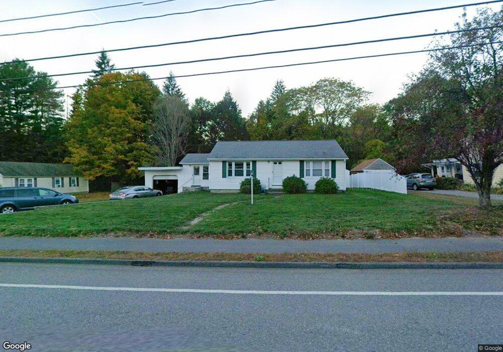
79 N Main St West Boylston, MA 01583
Estimated Value: $365,000 - $450,000
2
Beds
1
Bath
1,008
Sq Ft
$405/Sq Ft
Est. Value
About This Home
This home is located at 79 N Main St, West Boylston, MA 01583 and is currently estimated at $408,361, approximately $405 per square foot. 79 N Main St is a home located in Worcester County with nearby schools including Major Edwards Elementary School and West Boylston Junior/Senior High School.
Ownership History
Date
Name
Owned For
Owner Type
Purchase Details
Closed on
Jul 2, 1990
Sold by
Beardsley Nathan L
Bought by
Perron Robert E
Current Estimated Value
Home Financials for this Owner
Home Financials are based on the most recent Mortgage that was taken out on this home.
Original Mortgage
$88,000
Interest Rate
10.27%
Mortgage Type
Purchase Money Mortgage
Create a Home Valuation Report for This Property
The Home Valuation Report is an in-depth analysis detailing your home's value as well as a comparison with similar homes in the area
Home Values in the Area
Average Home Value in this Area
Purchase History
| Date | Buyer | Sale Price | Title Company |
|---|---|---|---|
| Perron Robert E | $110,000 | -- |
Source: Public Records
Mortgage History
| Date | Status | Borrower | Loan Amount |
|---|---|---|---|
| Open | Perron Robert E | $100,000 | |
| Closed | Perron Robert E | $88,000 |
Source: Public Records
Tax History Compared to Growth
Tax History
| Year | Tax Paid | Tax Assessment Tax Assessment Total Assessment is a certain percentage of the fair market value that is determined by local assessors to be the total taxable value of land and additions on the property. | Land | Improvement |
|---|---|---|---|---|
| 2025 | $42 | $303,900 | $88,500 | $215,400 |
| 2024 | $4,159 | $281,400 | $88,500 | $192,900 |
| 2023 | $4,130 | $265,100 | $88,000 | $177,100 |
| 2022 | $3,948 | $223,300 | $88,000 | $135,300 |
| 2021 | $120 | $207,000 | $83,500 | $123,500 |
| 2020 | $114 | $202,900 | $83,500 | $119,400 |
| 2019 | $3,559 | $188,800 | $83,500 | $105,300 |
| 2018 | $3,411 | $182,200 | $83,500 | $98,700 |
| 2017 | $3,072 | $163,400 | $83,500 | $79,900 |
| 2016 | $2,983 | $161,700 | $77,600 | $84,100 |
| 2015 | $2,863 | $156,100 | $76,800 | $79,300 |
Source: Public Records
Map
Nearby Homes
- 16 N Main St
- 23 Western Ave
- 20 Winthrop St
- 287 Laurel St
- 136 Sterling St Unit A3
- 0 Boutelle Rd
- 61 Boutelle Rd
- 2 Lakeview Ave
- 18 Laurel Ave
- 21 Myrtle Ave
- 223 Worcester Rd
- 0 North St
- Lot 1 Manning St
- 156 Prospect St
- 4 Jewett Rd Unit B
- 4 Jewett Rd Unit A
- 54 Maple St
- 62 Maple St
- 15 N Cove Rd
- 43 Chace Hill Rd