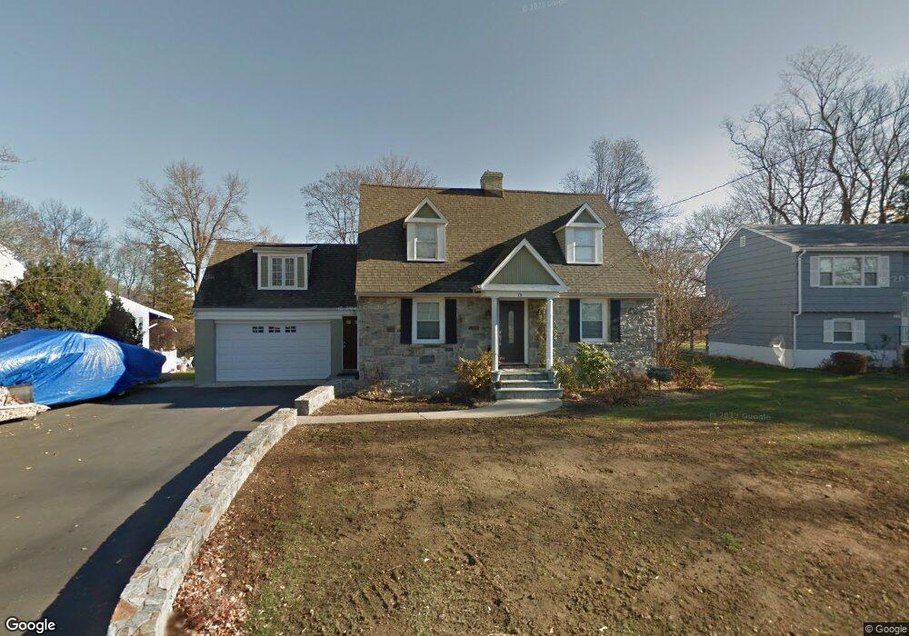
79 Walter Ave Norwalk, CT 06851
Downtown Norwalk NeighborhoodEstimated Value: $677,000 - $729,000
2
Beds
2
Baths
1,772
Sq Ft
$393/Sq Ft
Est. Value
About This Home
This home is located at 79 Walter Ave, Norwalk, CT 06851 and is currently estimated at $697,115, approximately $393 per square foot. 79 Walter Ave is a home located in Fairfield County with nearby schools including Naramake Elementary School, Nathan Hale Middle School, and Norwalk High School.
Ownership History
Date
Name
Owned For
Owner Type
Purchase Details
Closed on
Mar 16, 2023
Sold by
Memaj Brunilda and Rossi Michael
Bought by
79 Walter Avenue Llc
Current Estimated Value
Purchase Details
Closed on
Nov 4, 2010
Sold by
Memaj Brunilda
Bought by
Rossi Michael
Purchase Details
Closed on
Apr 16, 2003
Sold by
Conte Frank J
Bought by
Rossi Lorenzo and Rossi Maricia L
Create a Home Valuation Report for This Property
The Home Valuation Report is an in-depth analysis detailing your home's value as well as a comparison with similar homes in the area
Home Values in the Area
Average Home Value in this Area
Purchase History
| Date | Buyer | Sale Price | Title Company |
|---|---|---|---|
| 79 Walter Avenue Llc | -- | None Available | |
| 79 Walter Avenue Llc | -- | None Available | |
| Rossi Michael | -- | -- | |
| Rossi Michael | -- | -- | |
| Rossi Lorenzo | $337,000 | -- | |
| Rossi Lorenzo | $337,000 | -- |
Source: Public Records
Mortgage History
| Date | Status | Borrower | Loan Amount |
|---|---|---|---|
| Previous Owner | Rossi Lorenzo | $440,000 | |
| Previous Owner | Rossi Lorenzo | $376,000 |
Source: Public Records
Tax History Compared to Growth
Tax History
| Year | Tax Paid | Tax Assessment Tax Assessment Total Assessment is a certain percentage of the fair market value that is determined by local assessors to be the total taxable value of land and additions on the property. | Land | Improvement |
|---|---|---|---|---|
| 2025 | $9,727 | $406,190 | $175,120 | $231,070 |
| 2024 | $9,582 | $406,190 | $175,120 | $231,070 |
| 2023 | $7,868 | $312,690 | $133,770 | $178,920 |
| 2022 | $7,721 | $312,690 | $133,770 | $178,920 |
| 2021 | $7,520 | $312,690 | $133,770 | $178,920 |
| 2020 | $7,516 | $312,690 | $133,770 | $178,920 |
| 2019 | $7,306 | $312,690 | $133,770 | $178,920 |
| 2018 | $7,430 | $278,690 | $145,820 | $132,870 |
| 2017 | $7,175 | $278,680 | $145,820 | $132,860 |
| 2016 | $7,107 | $278,690 | $145,820 | $132,870 |
| 2015 | $7,087 | $278,690 | $145,820 | $132,870 |
| 2014 | $6,995 | $278,690 | $145,820 | $132,870 |
Source: Public Records
Map
Nearby Homes
- 77 Walter Ave
- 16 Katy Ln
- 162 Strawberry Hill Ave
- 2 Clearview Ave
- 49 Barbara Dr
- 14 Dairy Farm Rd
- 25 Dairy Farm Rd
- 44 Ambler Dr
- 42 County St
- 44 King St
- 360 Westport Ave Unit 1
- 17 Oriole Dr
- 18 Roxbury Rd
- 15 Dry Hill Rd
- 80 County St Unit 9K
- 80 County St Unit 3A
- 80 County St Unit 2Q
- 80 County St Unit 11K
- 12 Merrill Rd
- 14 Scofield Place
- 79 1/2 Walter Ave
- 203 Strawberry Hill Ave
- 75 Walter Ave
- 81 Walter Ave
- 73 Walter Ave
- 205 Strawberry Hill Ave
- 207 Strawberry Hill Ave
- 78 Walter Ave
- 80 Walter Ave
- 1 Katy Ln
- 76 Walter Ave
- 198 Strawberry Hill Ave
- 204 Strawberry Hill Ave
- 71 Walter Ave
- 12 Avon St
- 196 Strawberry Hill Ave
- 88 Walter Ave
- 3 Katy Ln
- 6 Avon St
- 209 Strawberry Hill Ave